ZIP Code 43140 – Coordinates: 39°56′27″N 83°24′20″W
Population 206 at 2020 Census.
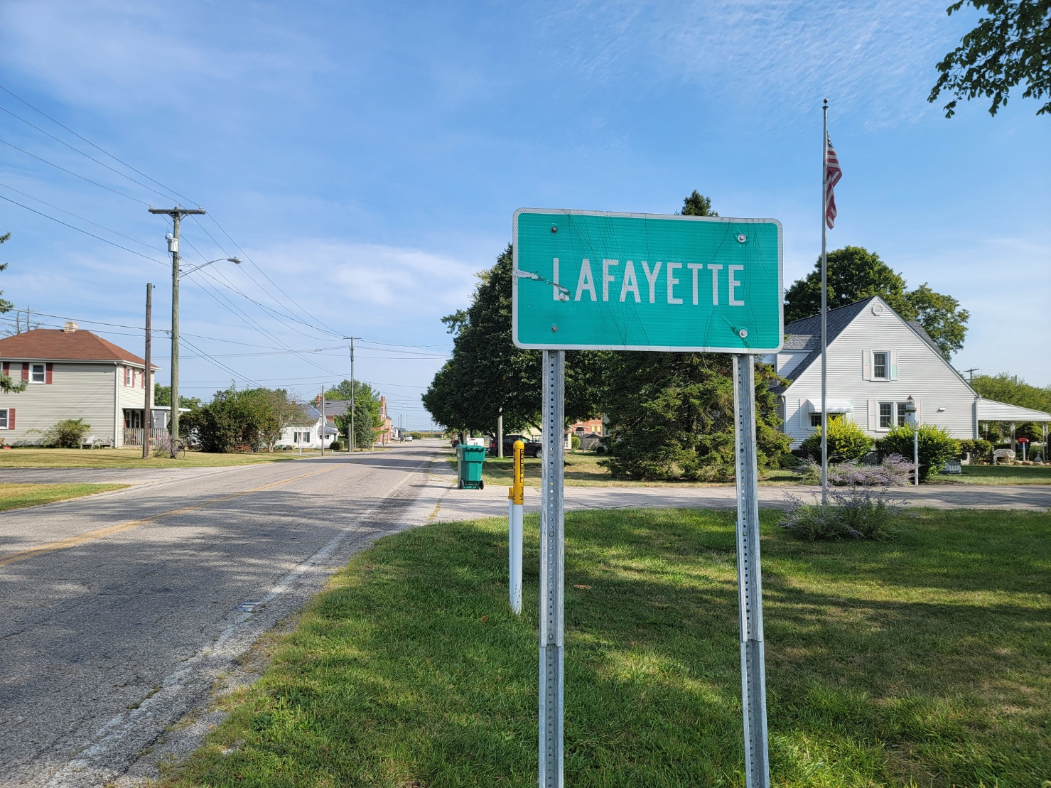
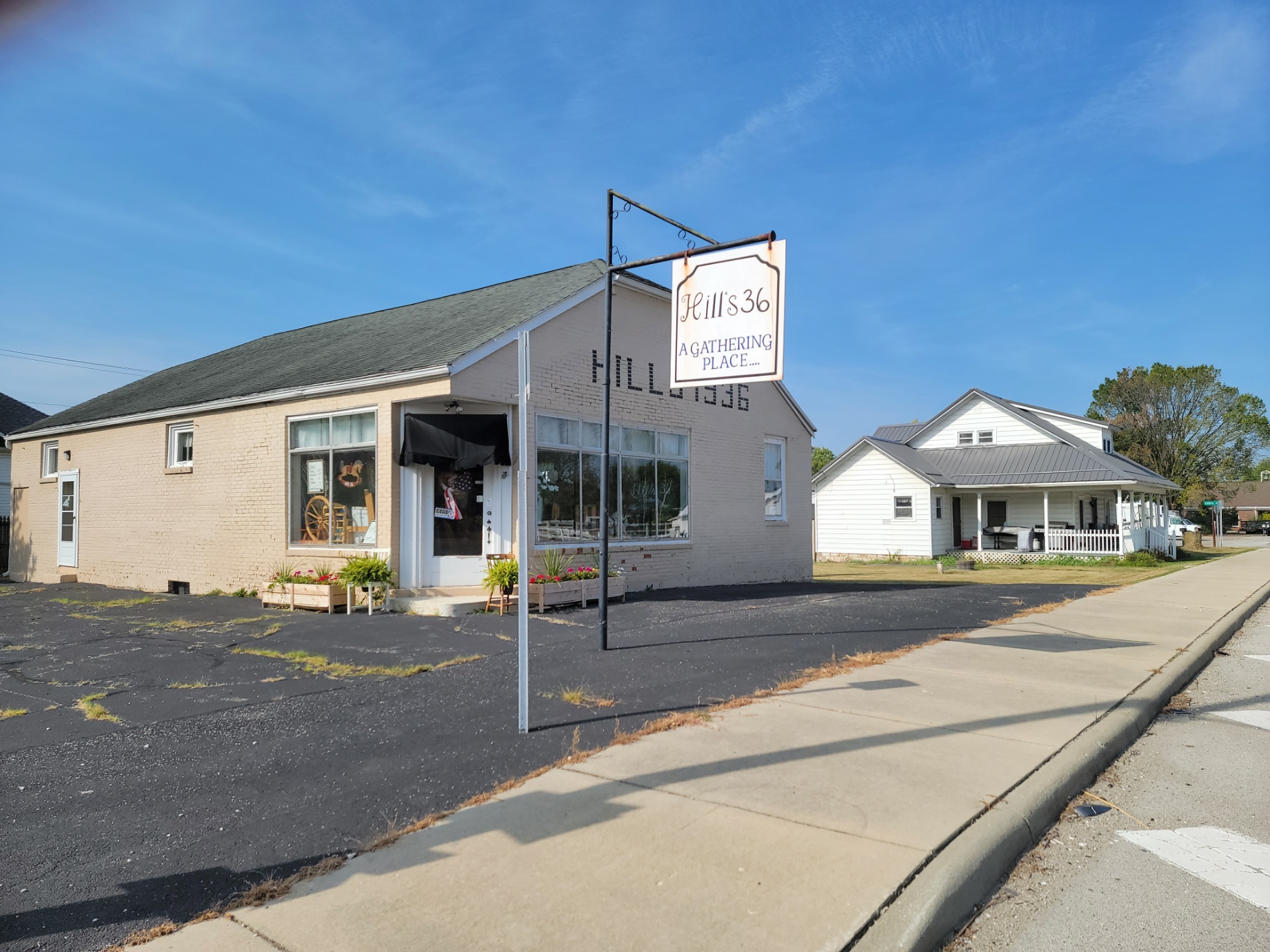
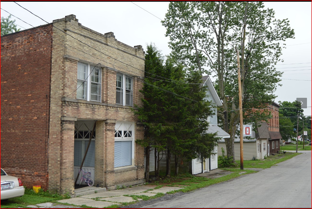
Lafayette is a census-designated place in Deer Creek Township on U.S. Route 40 just west of the intersection of US Route 42. Lafayette was laid out on October 1, 1834, by William Minter, and named in honor of Gilbert du Motier, Marquis de Lafayette. On December 31, 1836, the Lawrenceville Post Office was moved to Lafayette, renamed Lafayette Post Office, with John Minter as the first postmaster of the new branch. As of 1875, the community contained one drug store, one dry goods and grocery store, and one blacksmith shop. The post office was discontinued on December 31, 1905, with mail service going through the London branch. As of 1915, the community contained three general stores and one blacksmith shop.
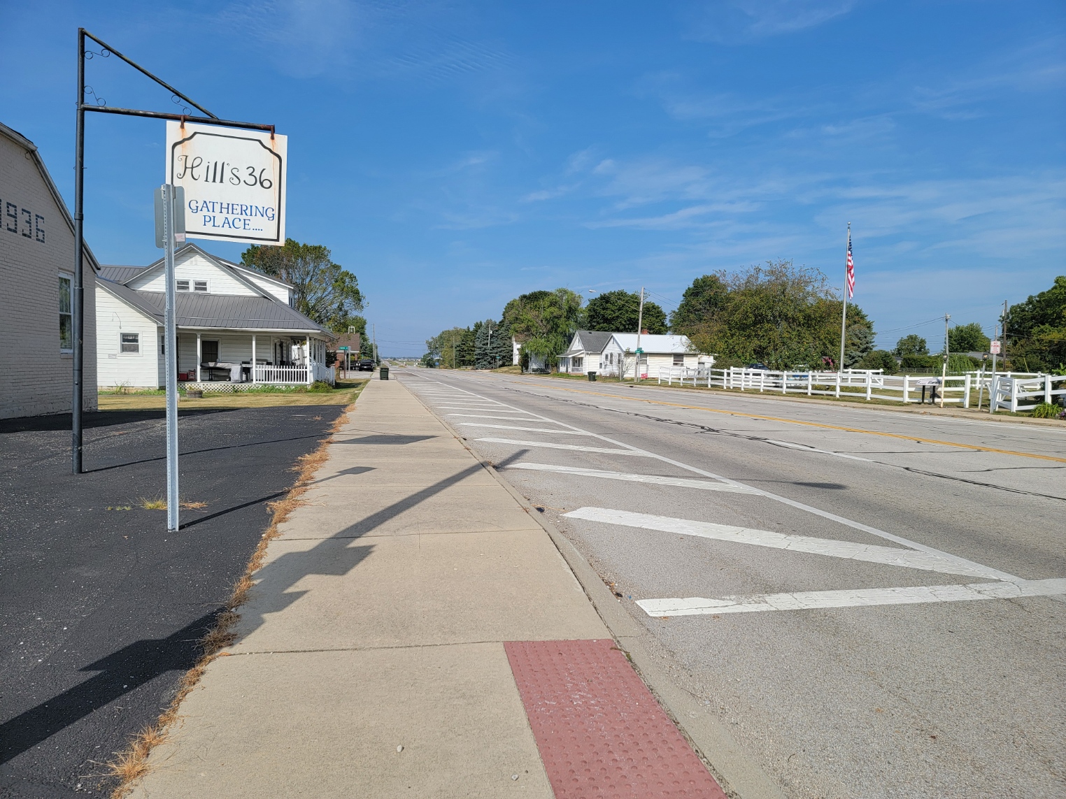
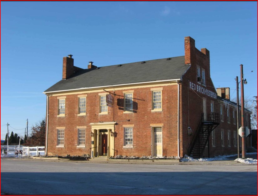
Lafayette is also home to the Red Brick Tavern, one of 11 properties on the National Register of Historic Places listings in Madison County, Ohio.
ZIP Code 43140 – Coordinates: 40°00′32″N 83°24′53″W
Population was 200 in 1915. As of 2020 it was 240. As of 2024, it is 316.
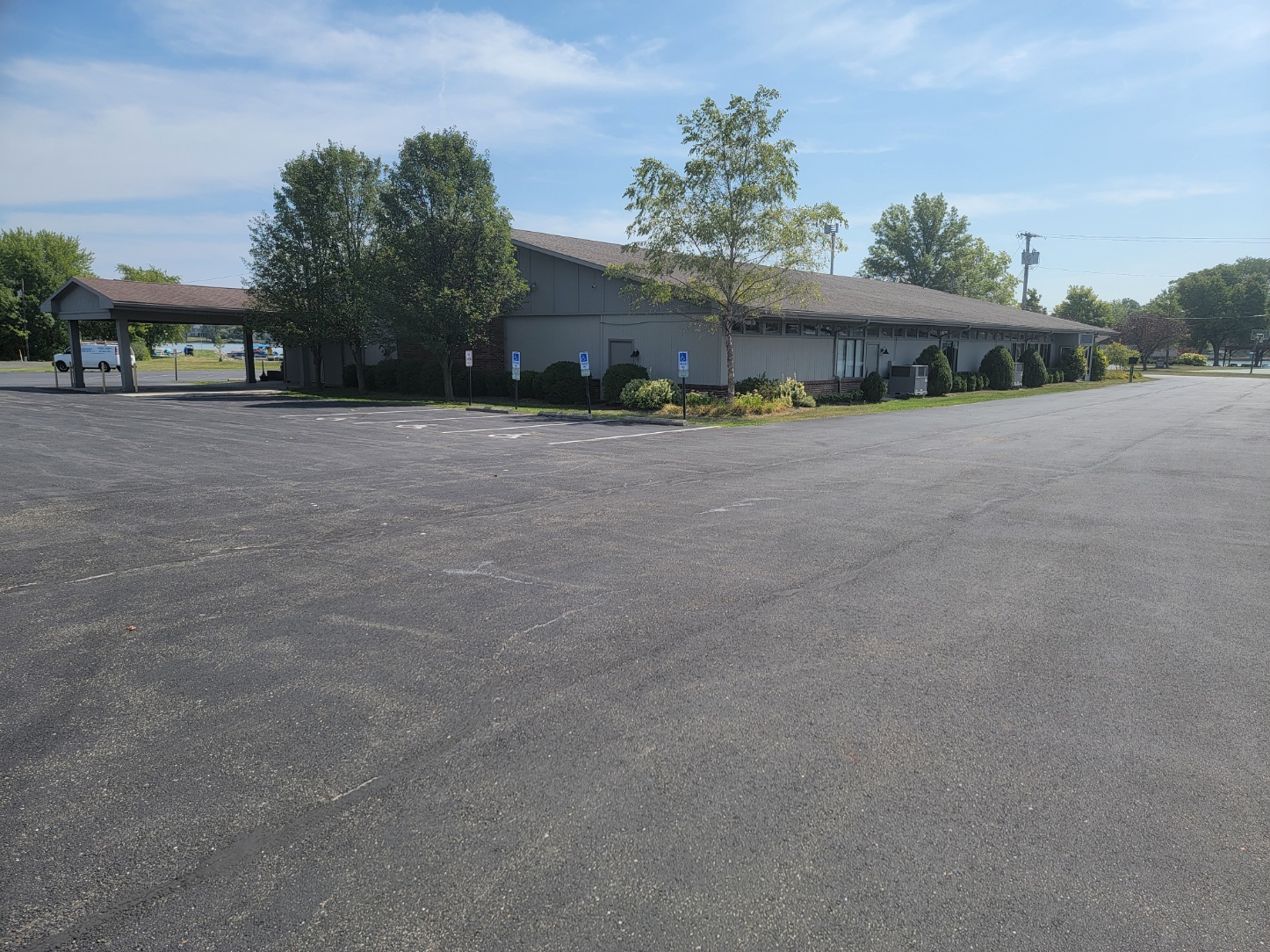
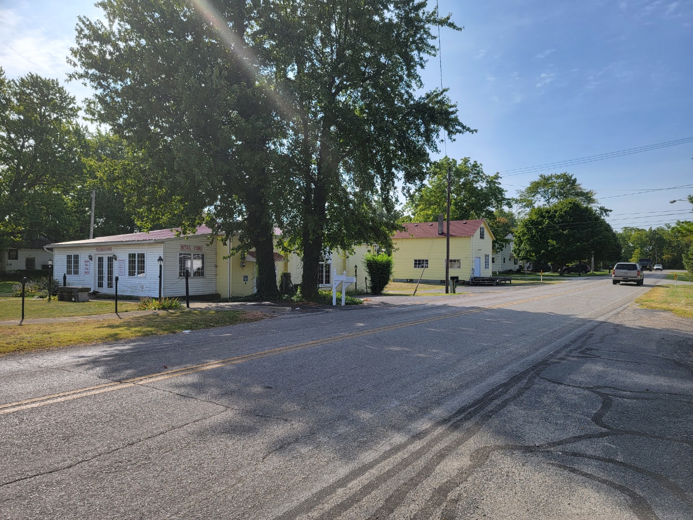
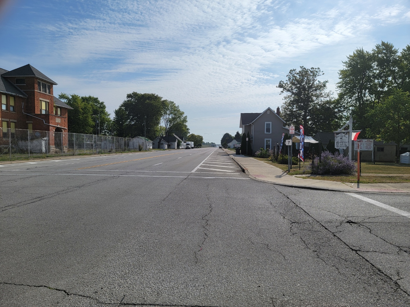
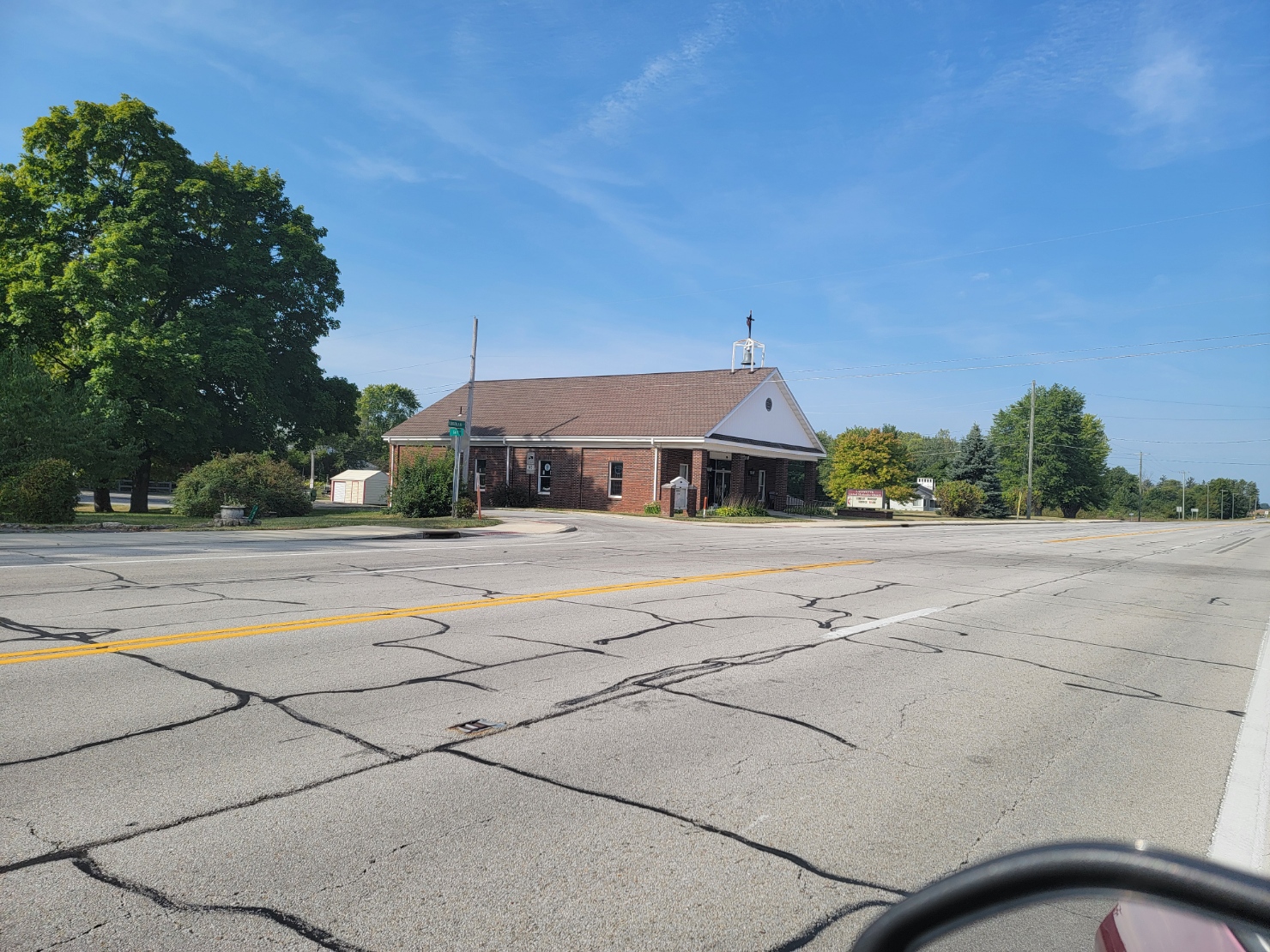
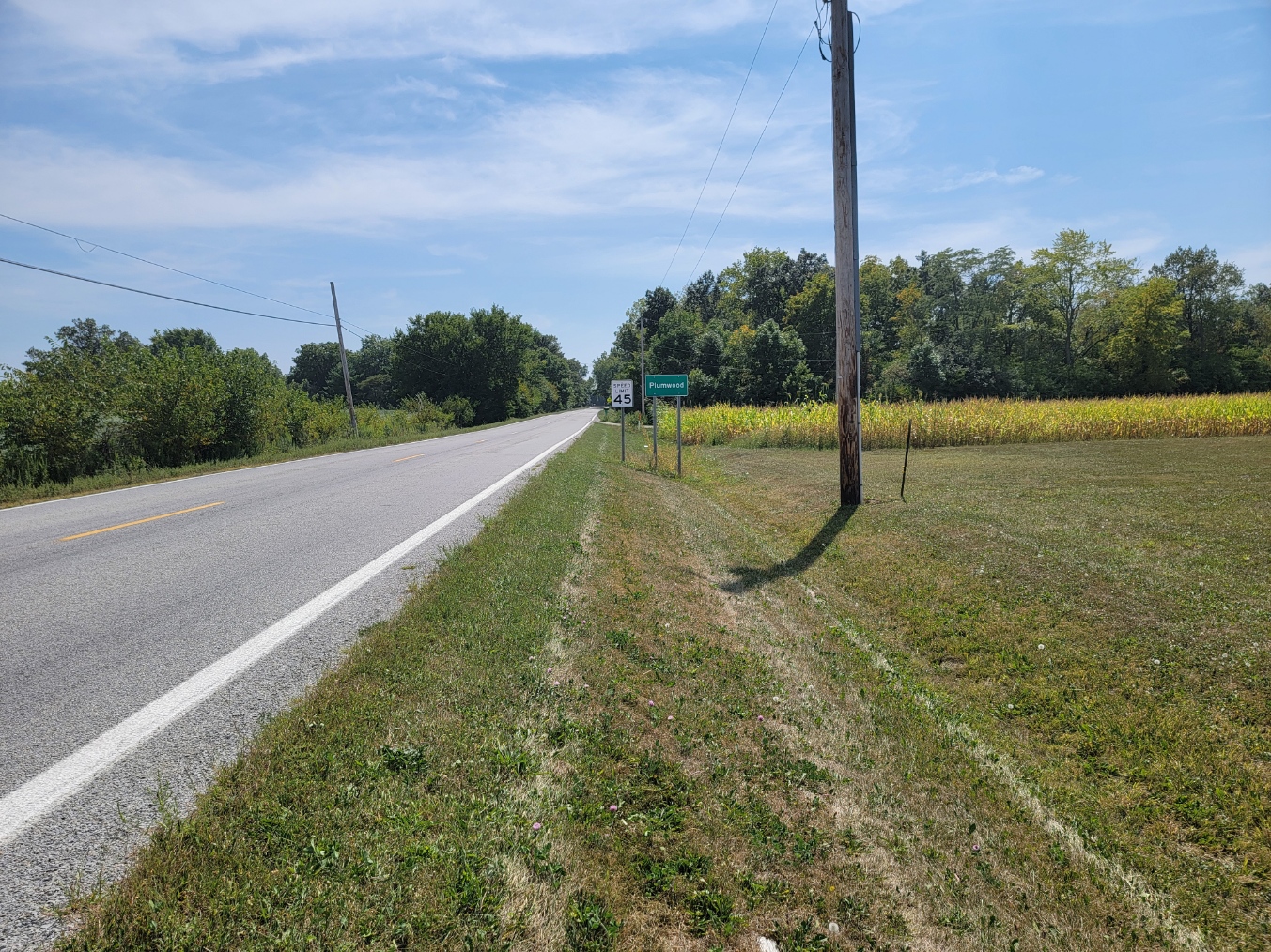
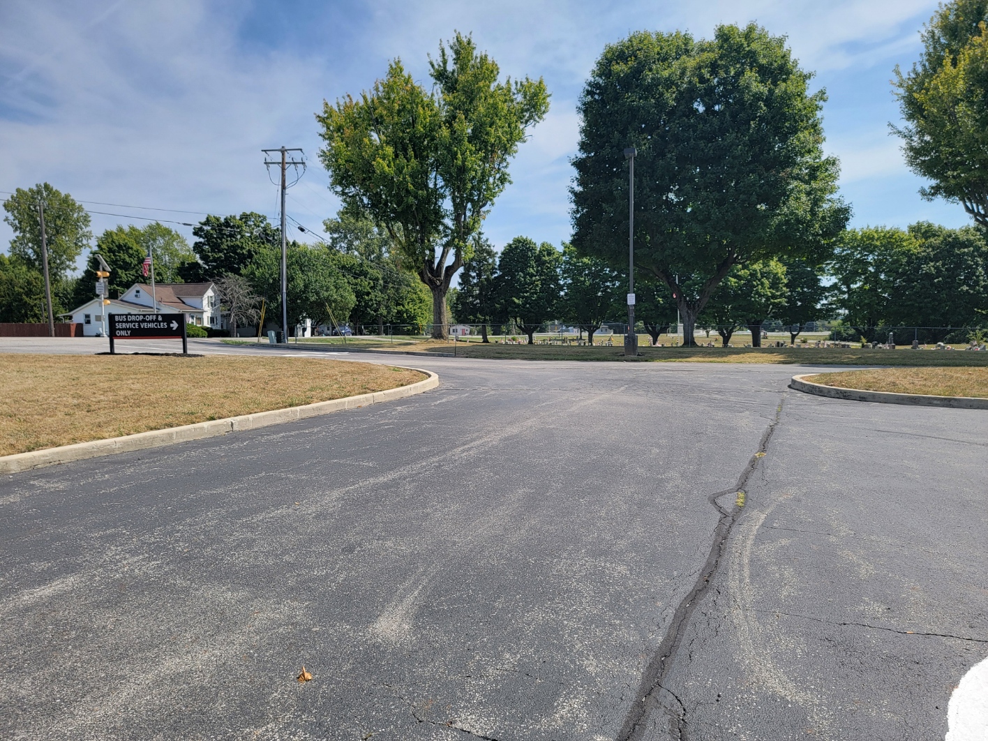
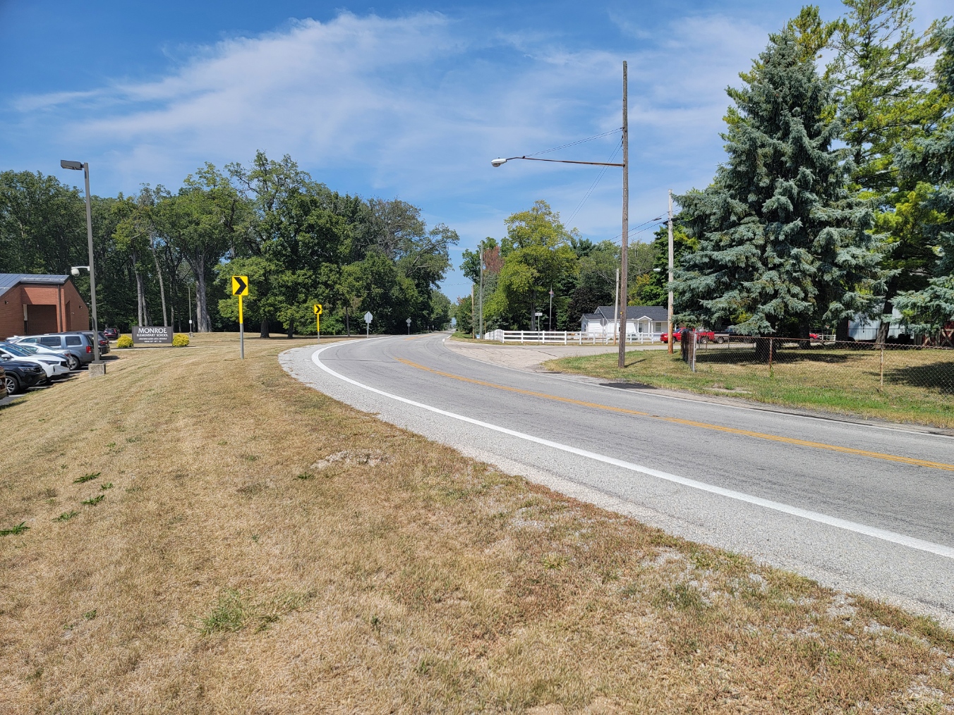
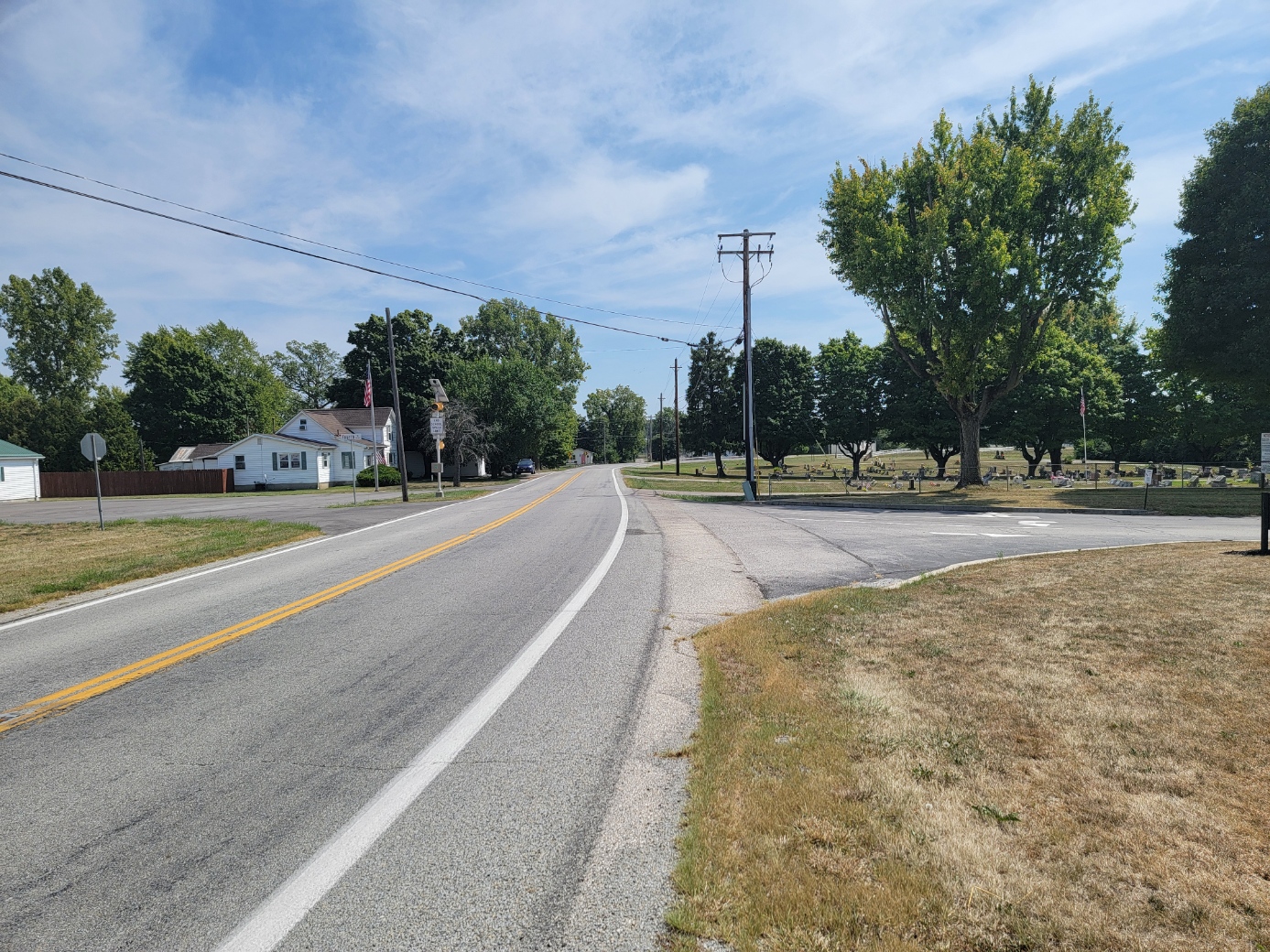
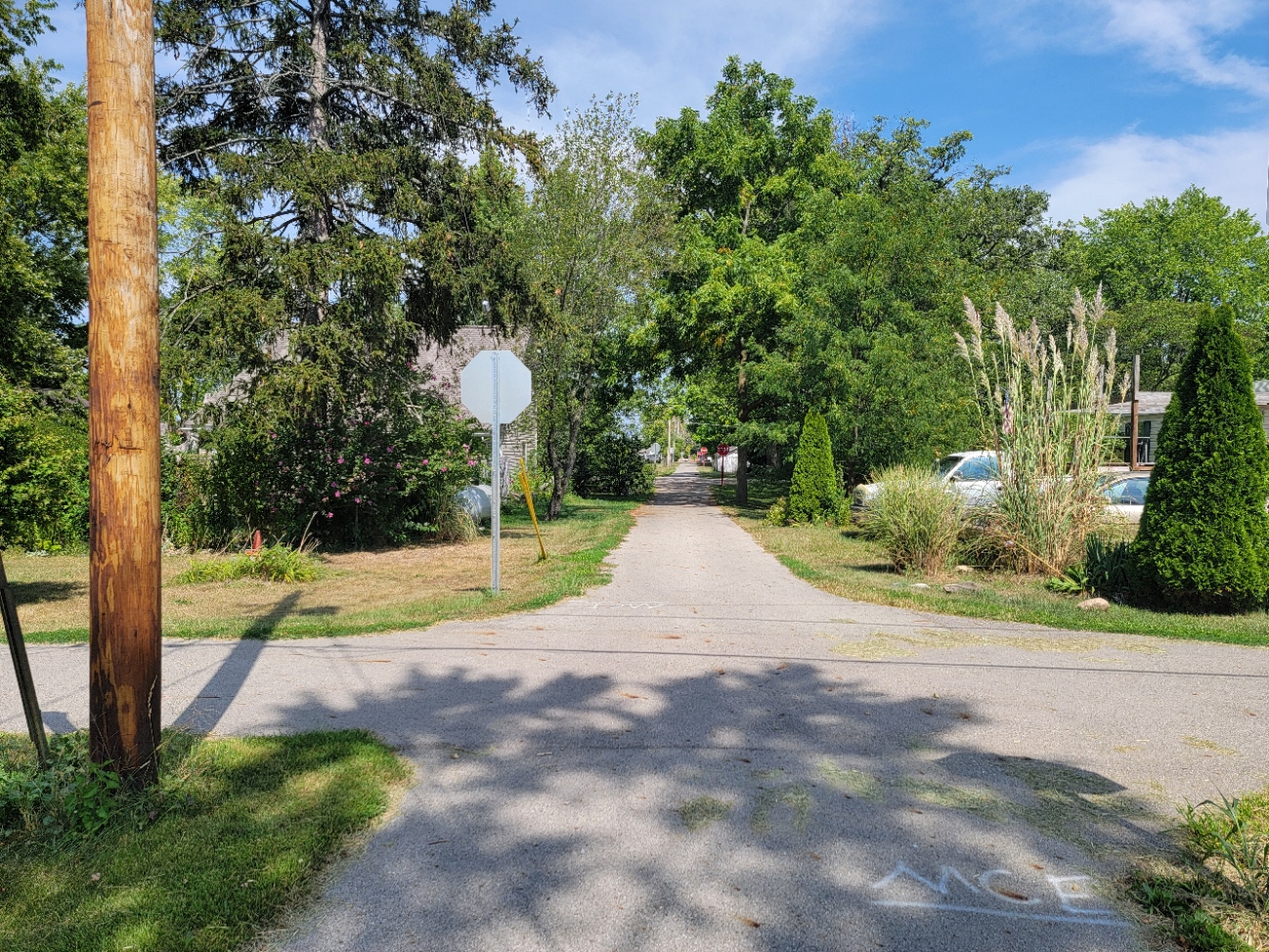
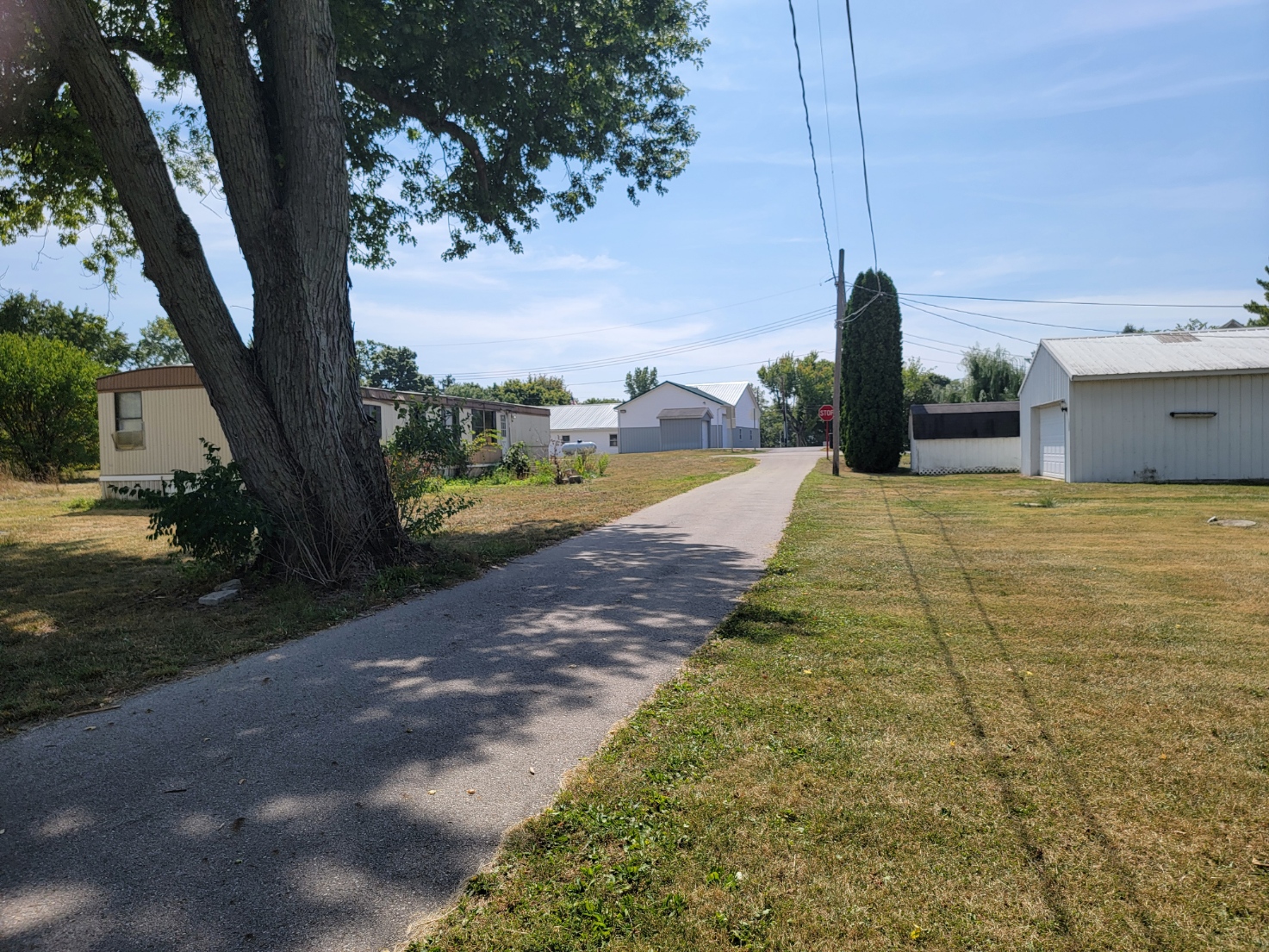
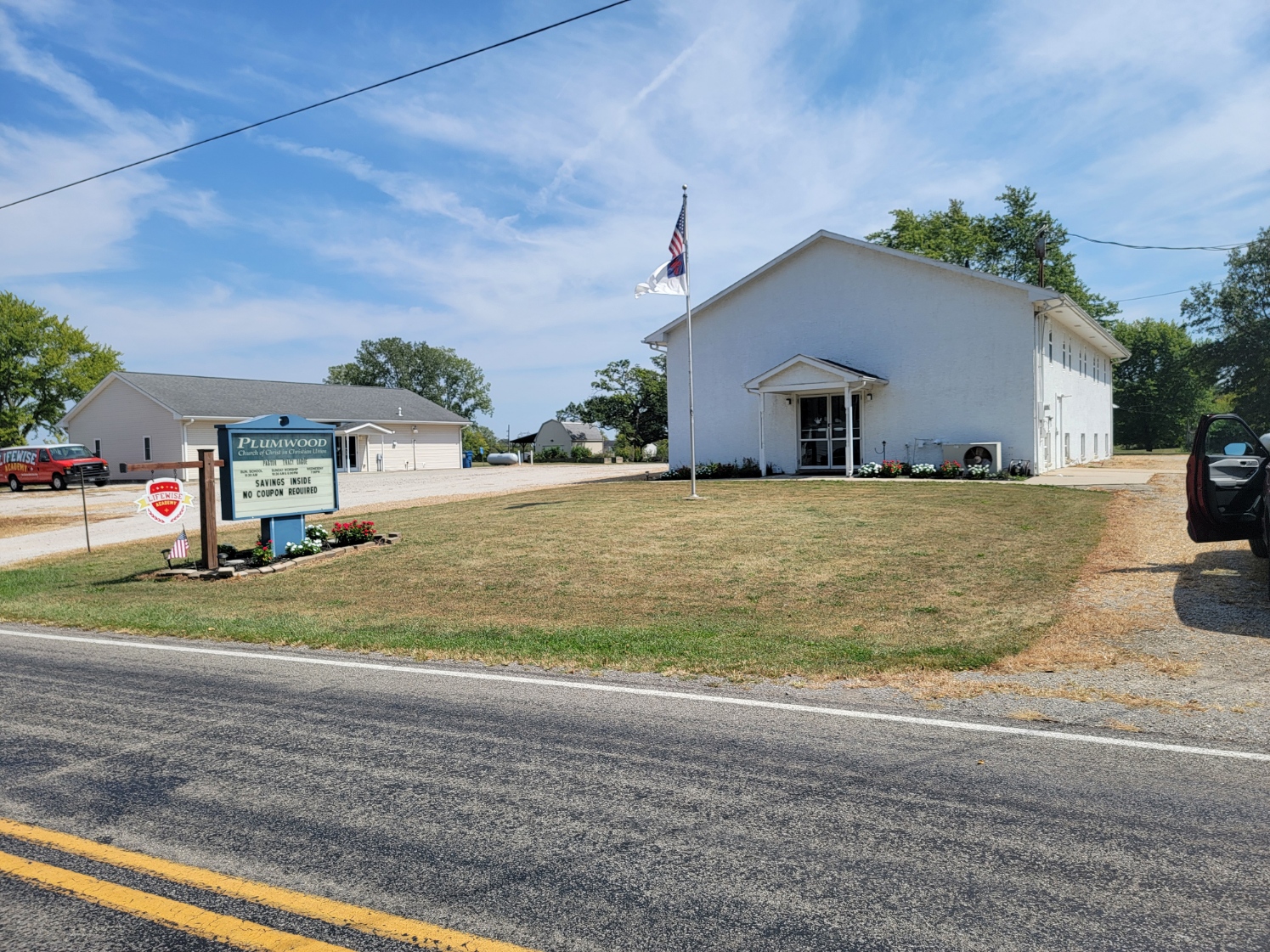
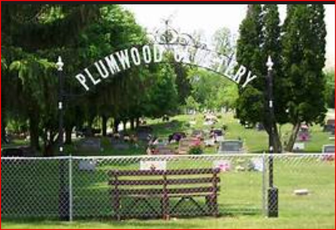
Plumwood is a census designated place in Monroe Township at the intersection of SR 38 and Arthur Bradley Road, 8 1/2 miles north of London. The Spring Fork of Darby Creek flows past the community.
Sanford was laid out December 23, 1895 by Charles F. Sanford. The community was renamed to Plumwood sometime before 1915. It was one of the largest trade centers in the county with three large general stores, a blacksmith, six threshing outfits, and three hay baling outfits.
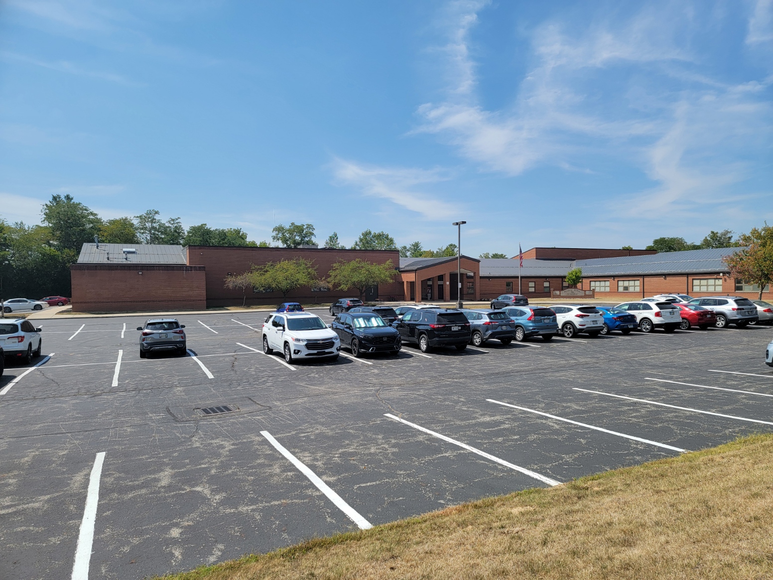
There is an elementary school there today.