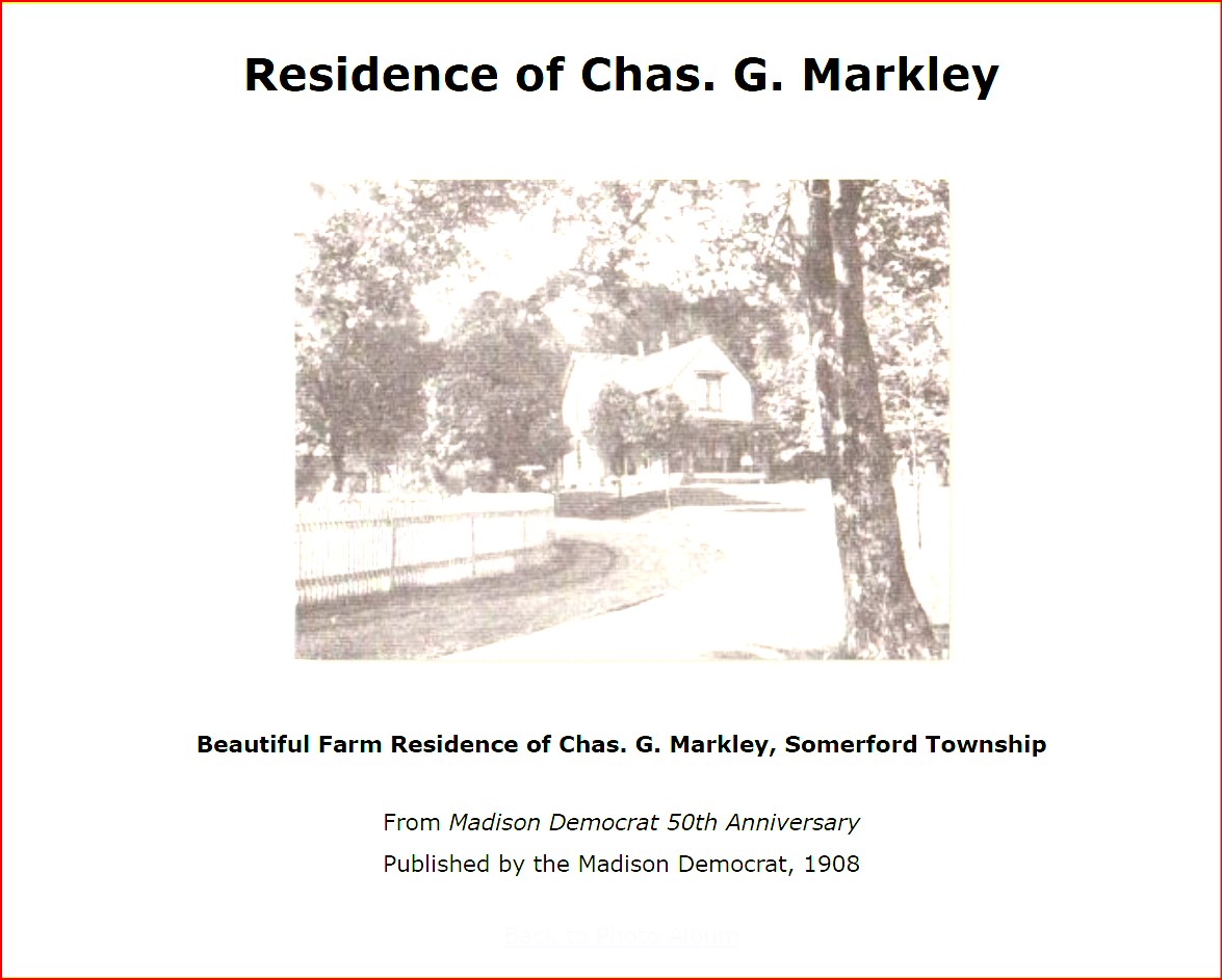
Chapter 3-Communities-Unincorporated
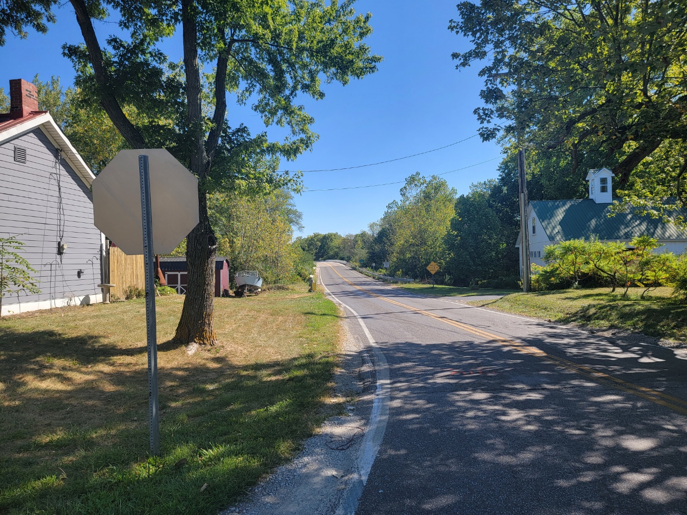
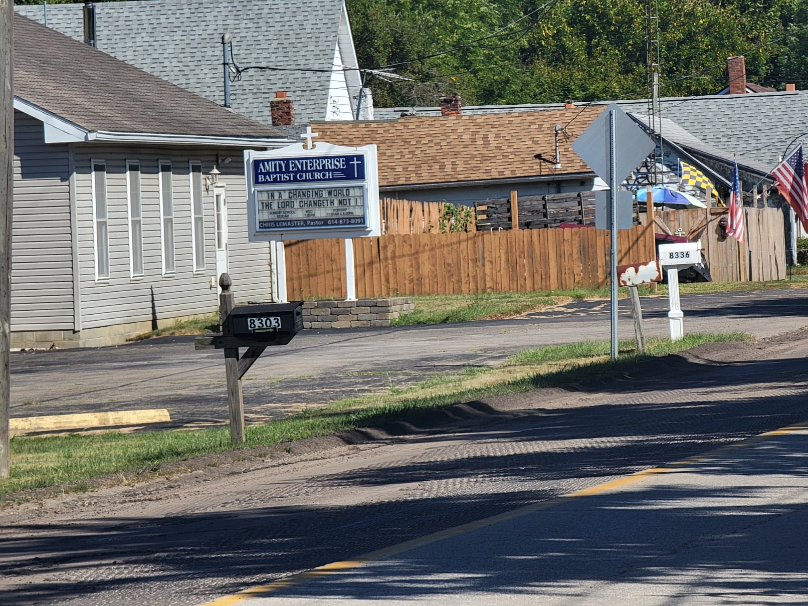
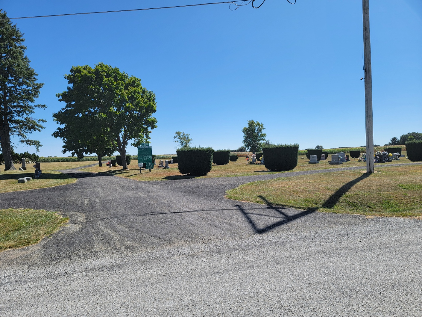
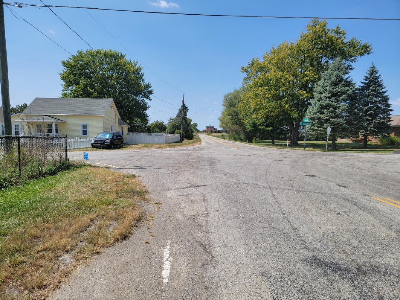
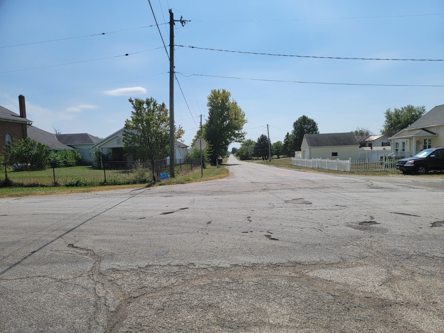
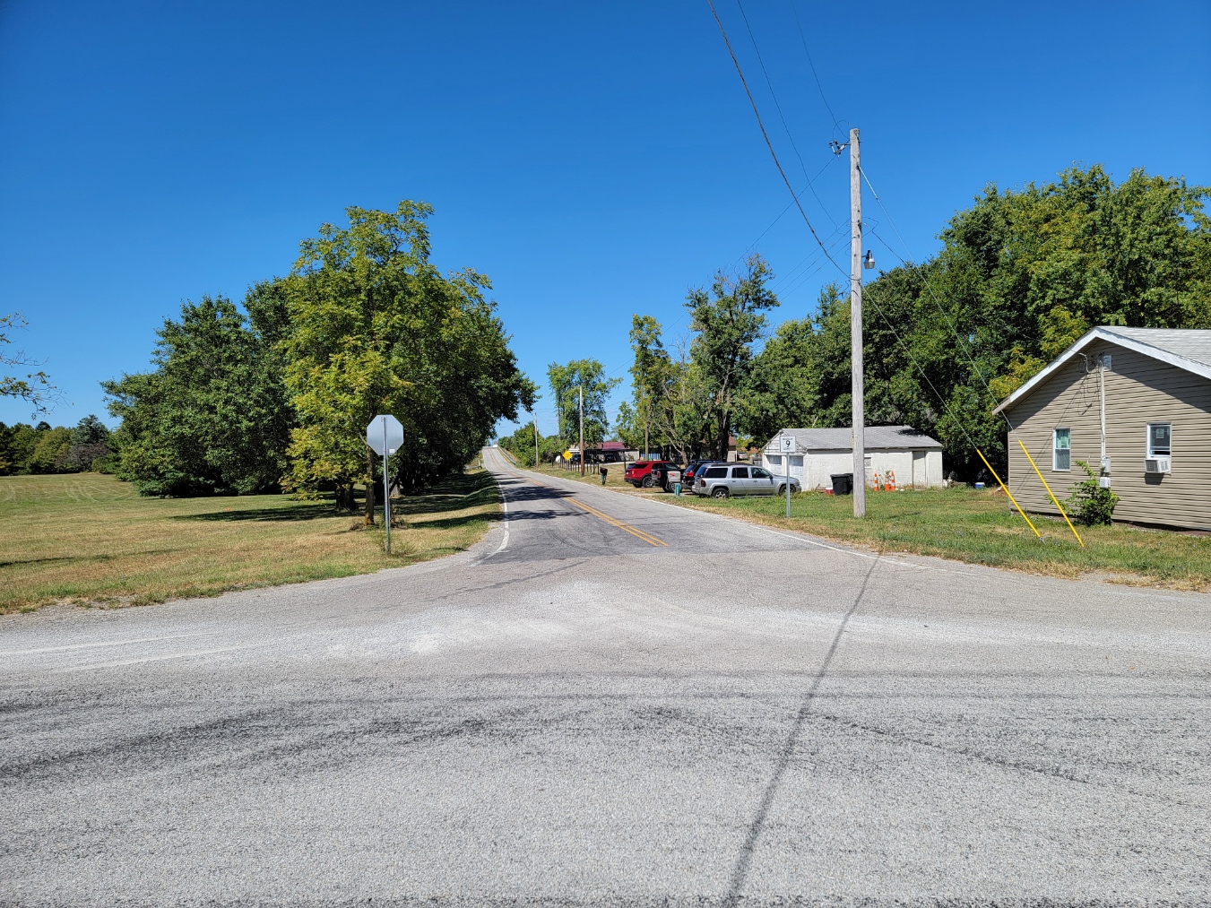
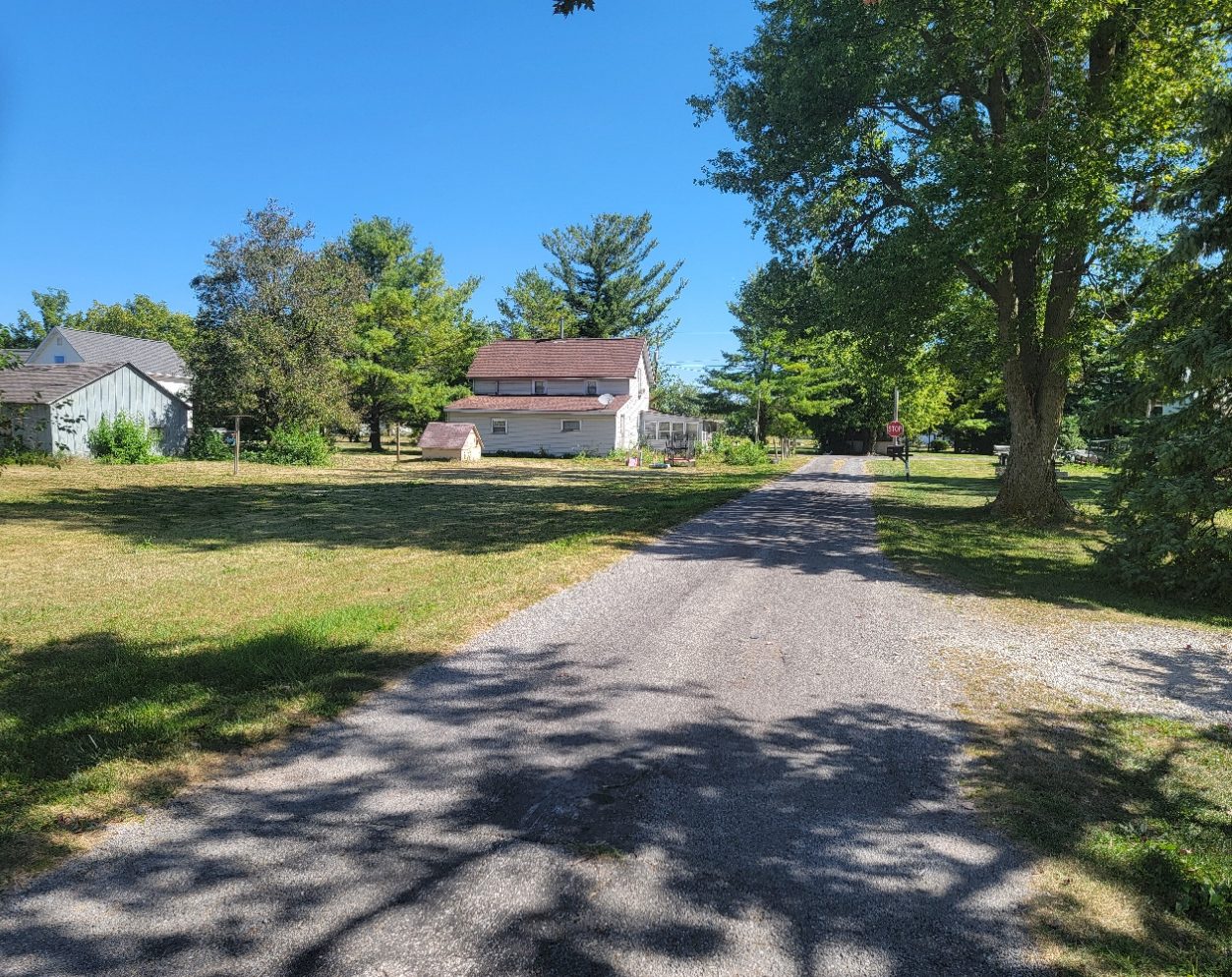
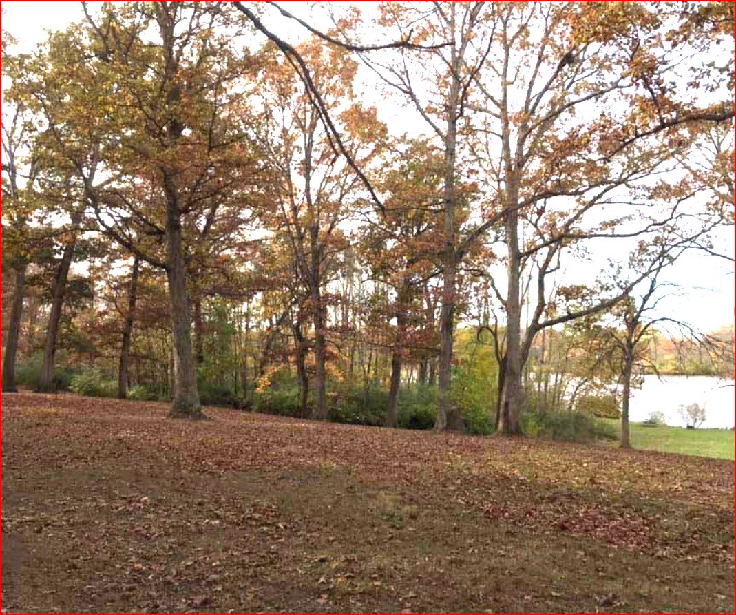
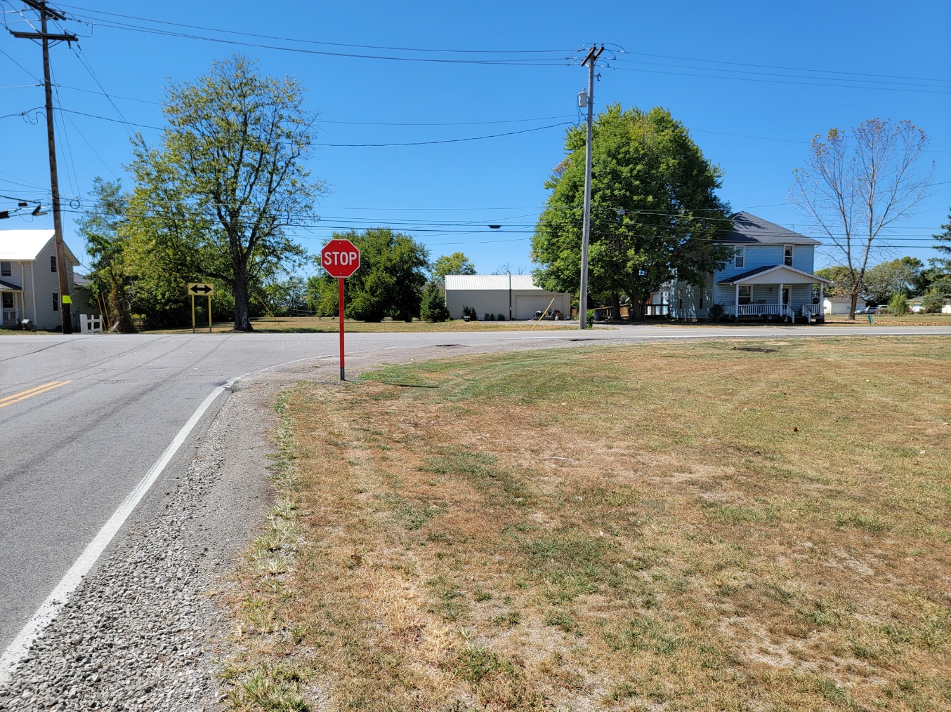
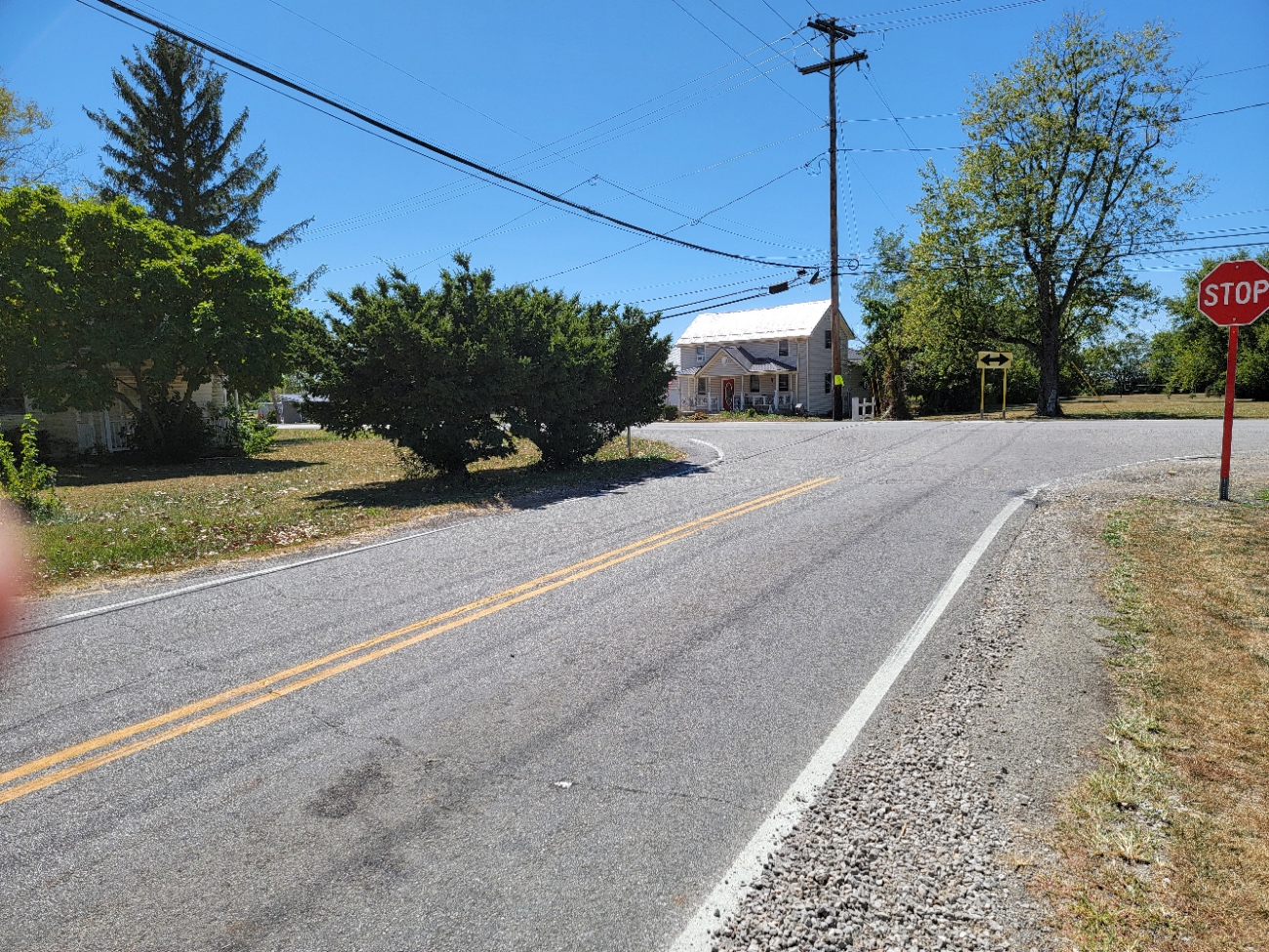
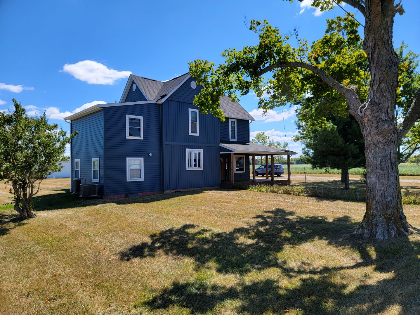
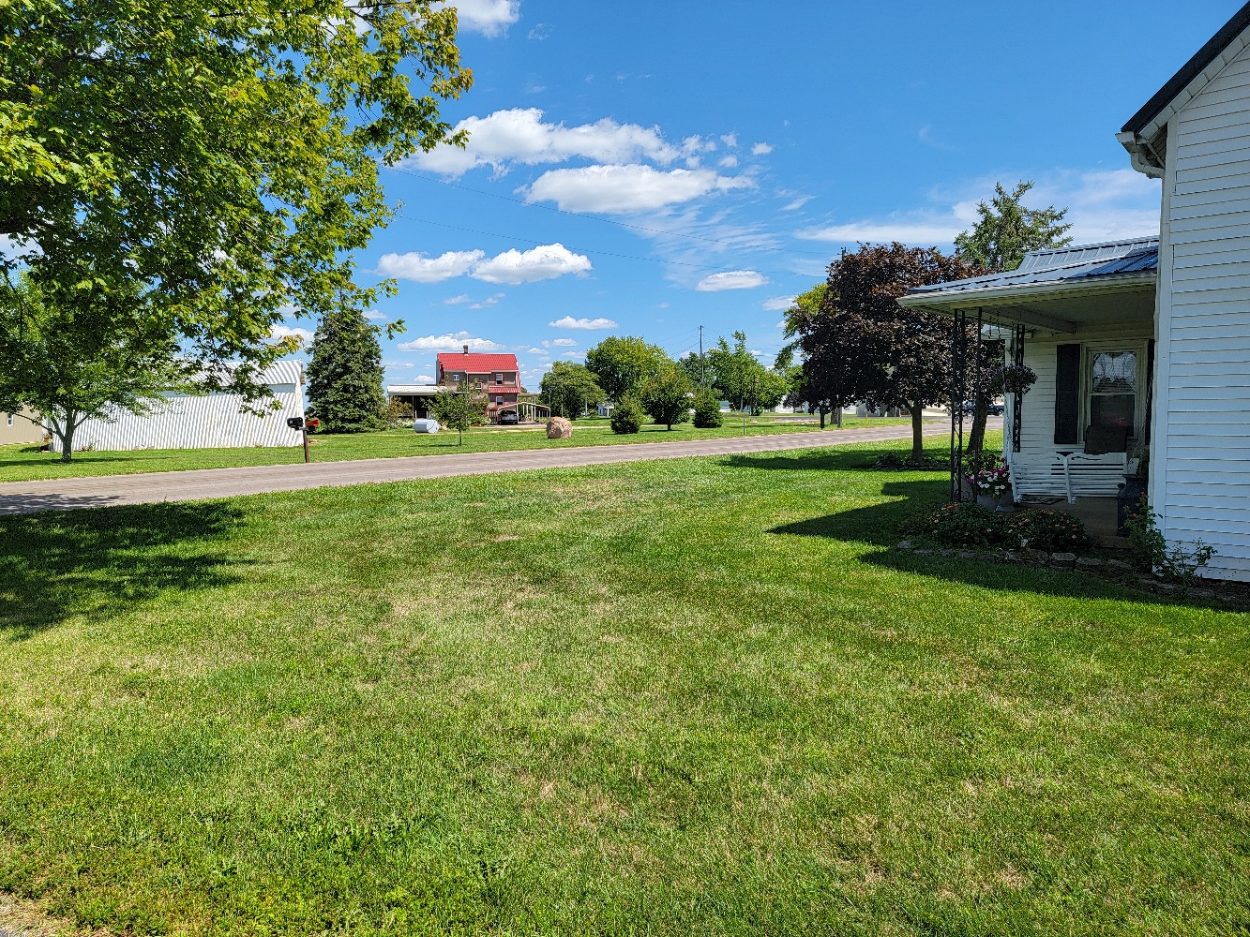
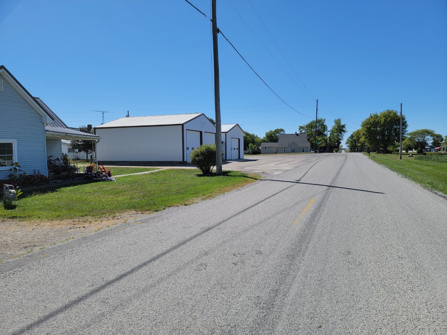
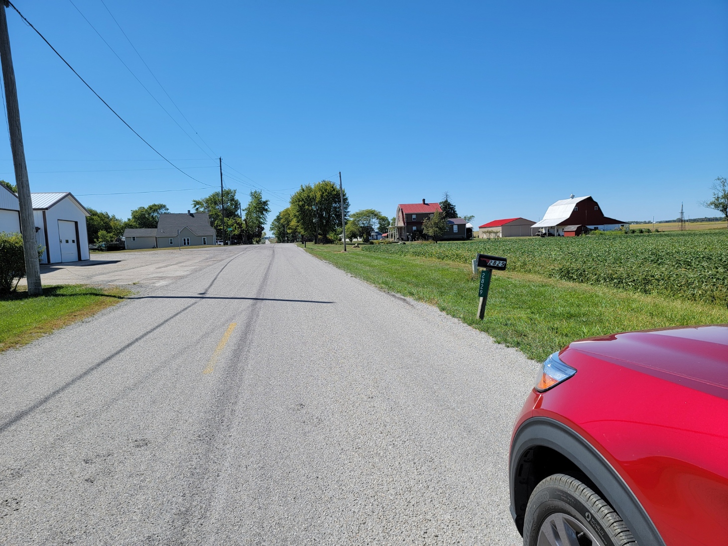
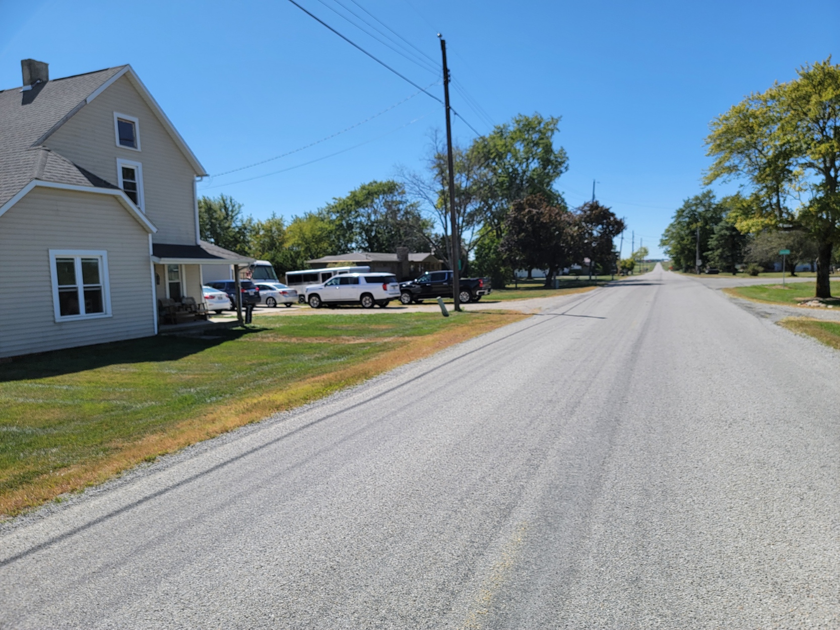
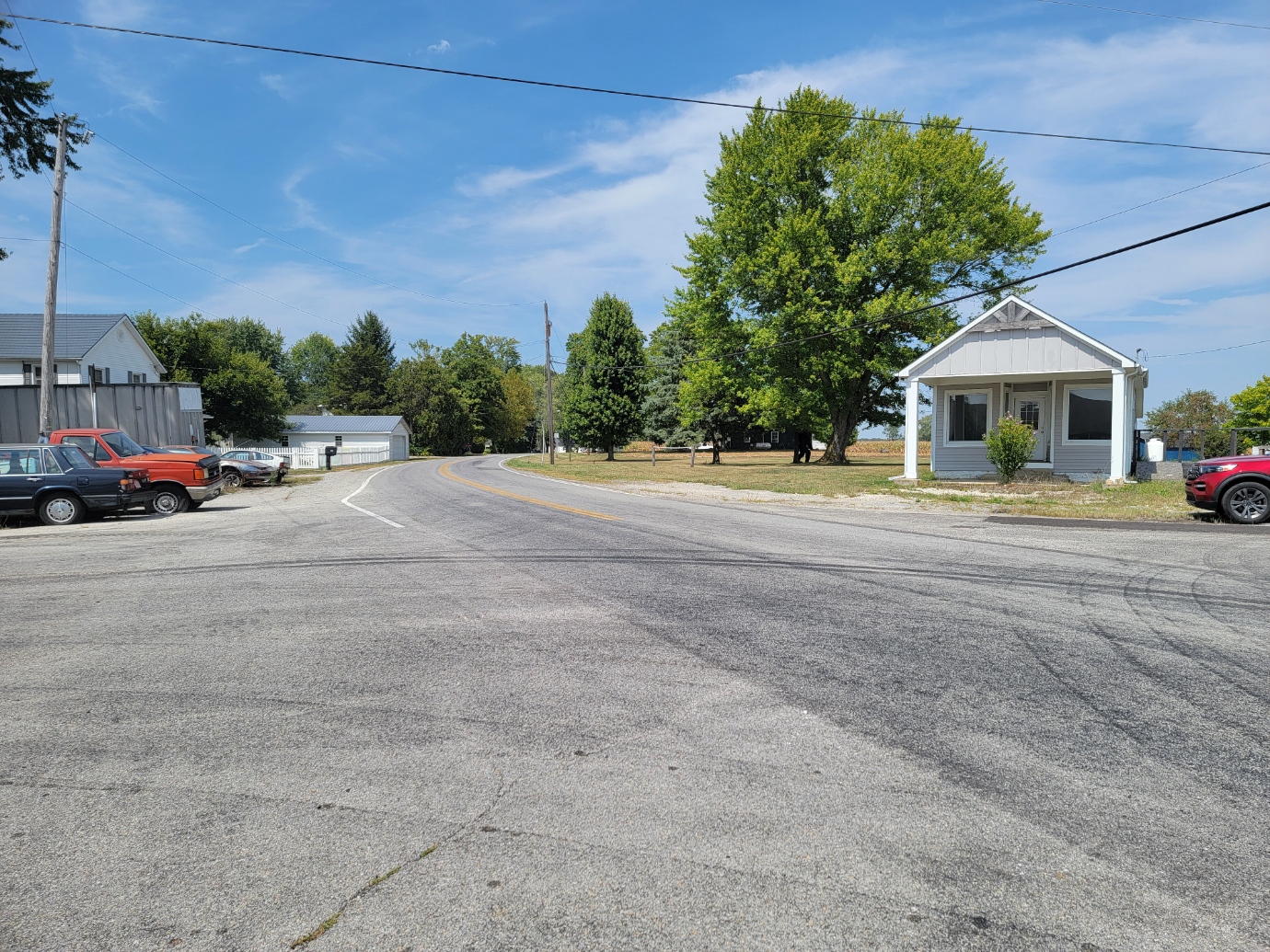
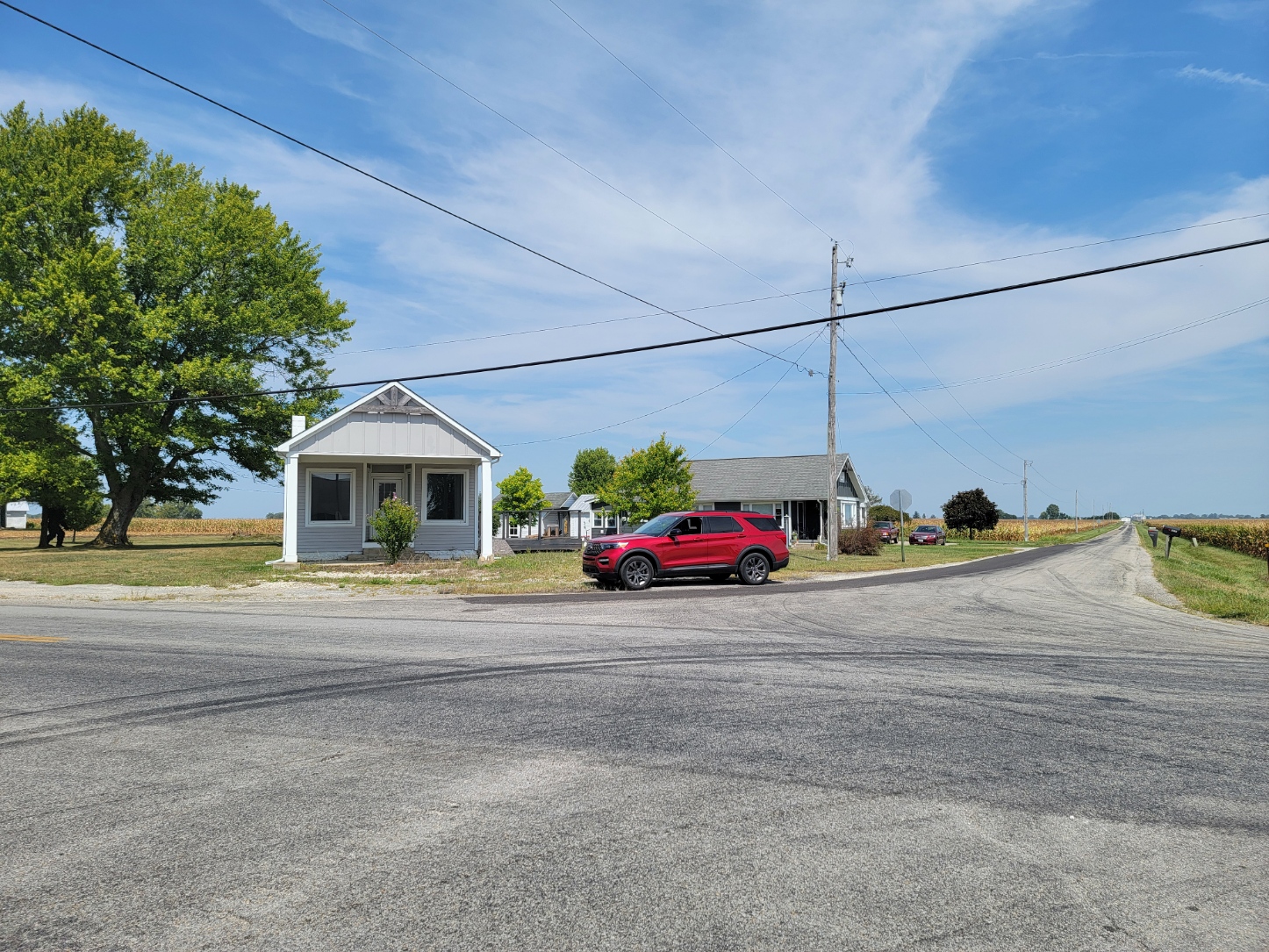
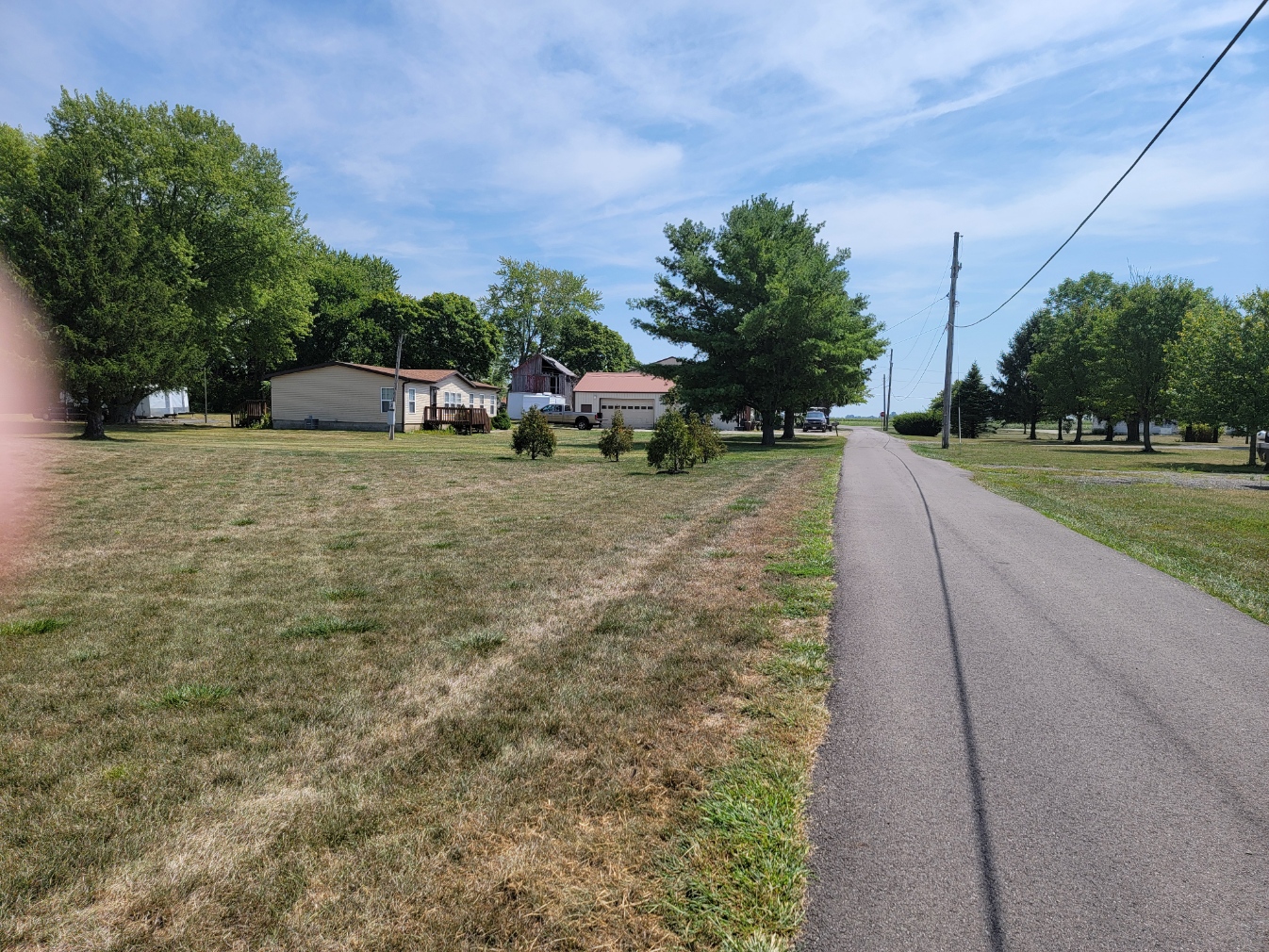
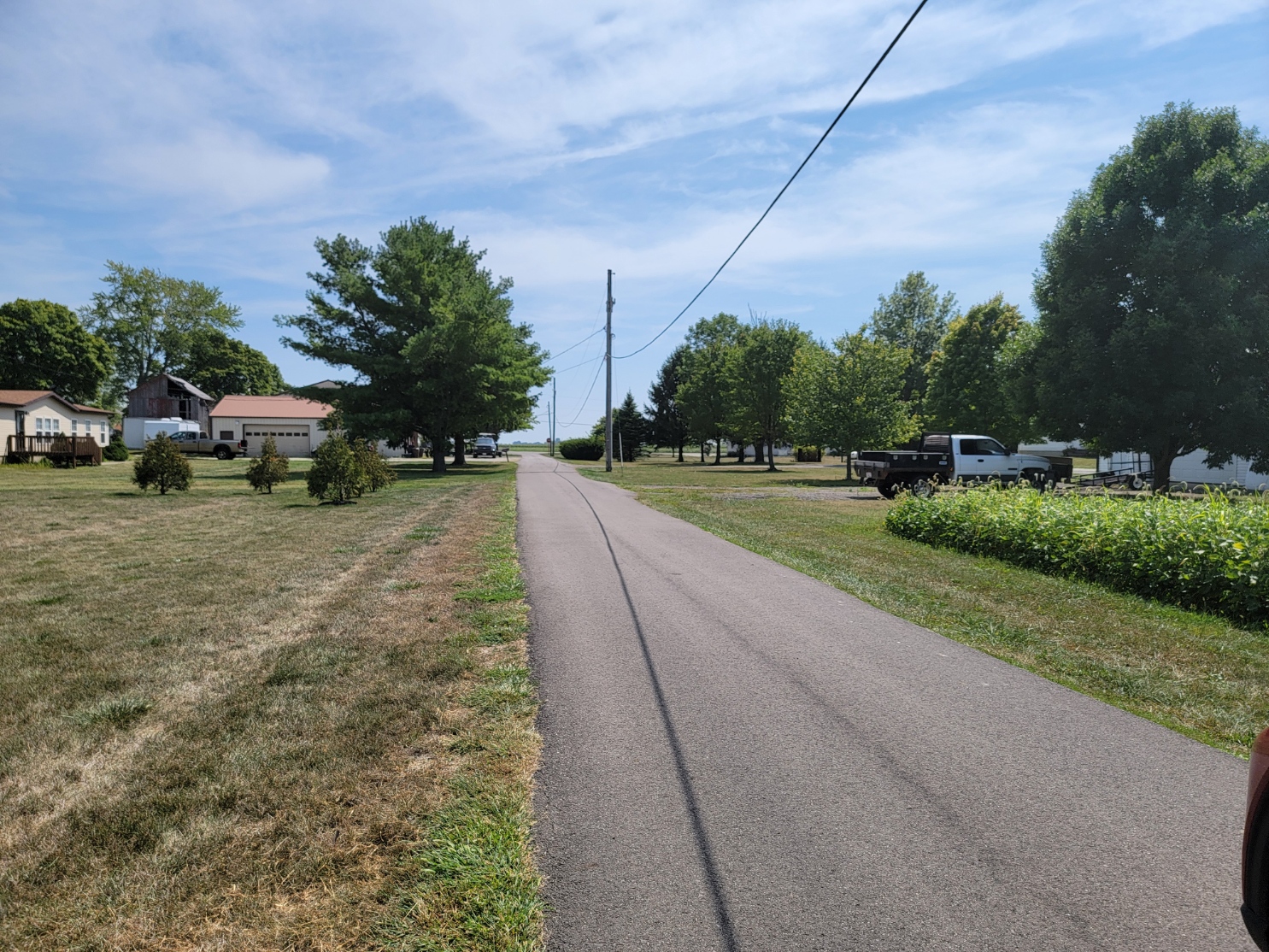
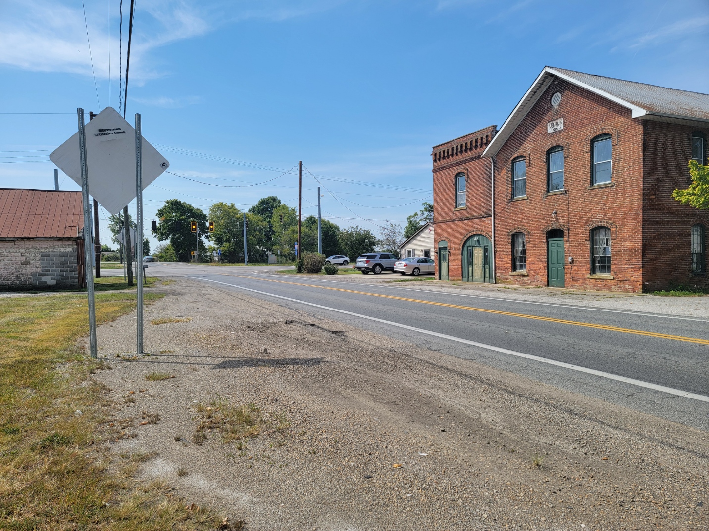
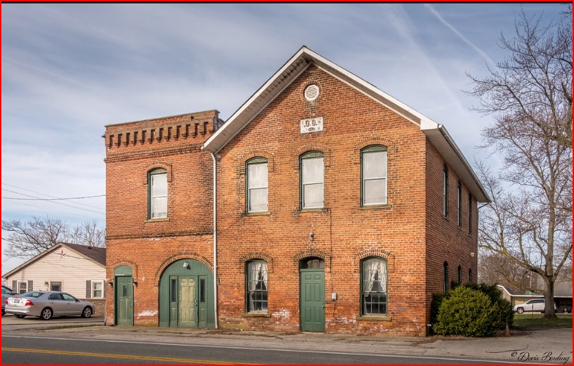
Amity
ZIP Code 43046 – Coordinates: 40°04′07″N 83°15′05″W
As of 1875 the population was about 100 and about 35 in 1915, based on the number of homes, I would estimate between 70 to 90 today. It is not listed in Ohio Demographics. It is located 17.4 miles from London and 2.8 miles from Plain City
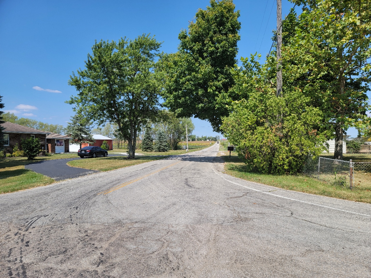
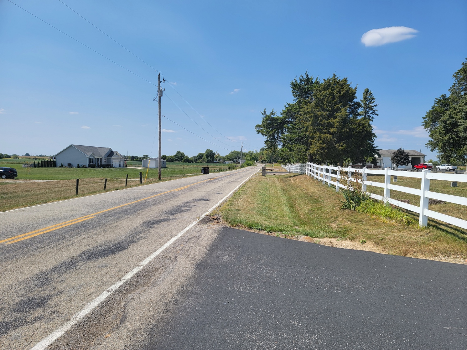
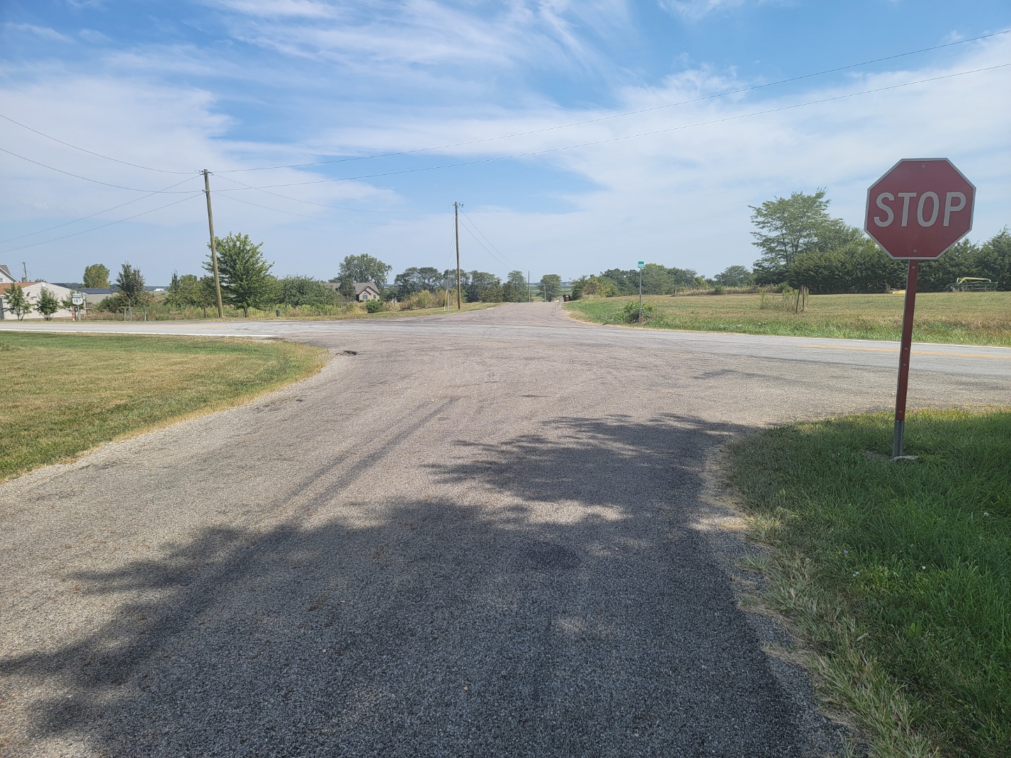
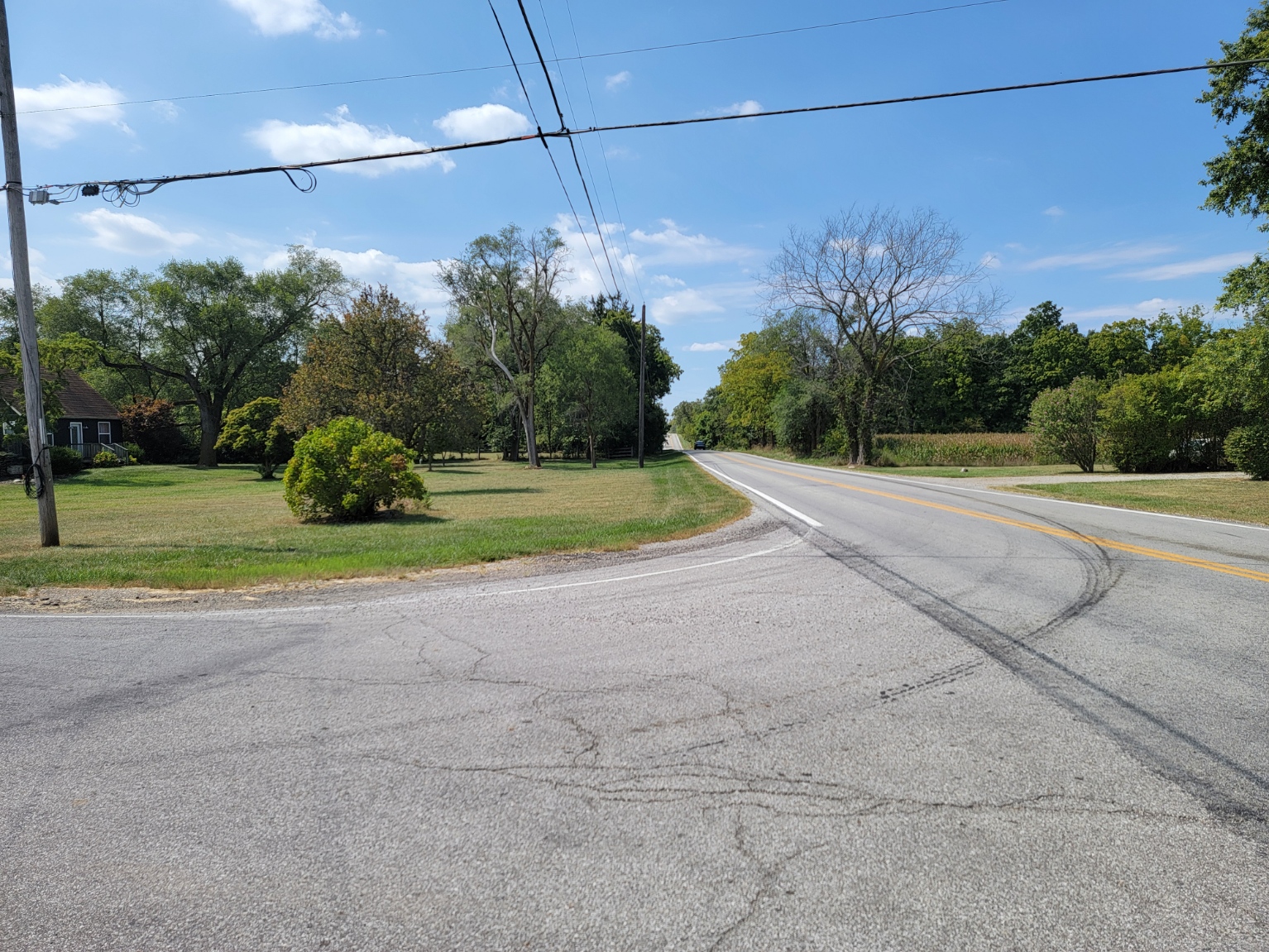
Amity is an unincorporated community in northeastern Canaan Township, Madison County, Ohio, United States. It is located at the intersection of Plain City-Georgesville Road and Amity Pike Road, between Plain City and West Jefferson.
History:
In 1817, Uri and Lorenzo Beach, two brothers, settled in the area. Before their arrival, agriculture was the only business in the area, but Uri Beach built a sawmill along Big Darby Creek, and later added a carding machine. Spinning and weaving were also done at the factory. This factory provided all the lumber for northern Madison County’s earliest frame buildings.
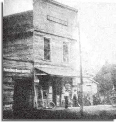
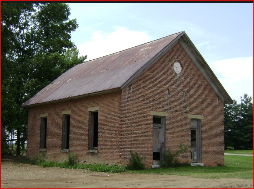
About 1826, Lorenzo opened a general store of his own. The West Canaan Post Office was established on January 16, 1829. As of 1831, the community also contained a hotel and a blacksmith shop. A small community began to form around these businesses. The Beach brothers purchased a tract of land and laid out the community of West Canaan on April 1, 1831. The name was recorded at the London Courthouse on January 3, 1833. In November 1834, additional land was added to the town’s corporation limits, and the town and post office names were changed to Amity. In 1834, Lorenzo opened a second store in another part of town. As of 1835, Amity contained two dry goods stores, a woolen factory, a sawmill, a distillery, a comb factory, and several blacksmith and minor mechanical trades shops. In 1830 a post office was opened
At this time, Amity was more of a trading point than Plain City. But a combination of the factory’s dam being declared a nuisance and torn down and a trunk line for the Atlantic and Great Western Railroad being laid through Plain City in 1851 caused most of the business to be transferred to the latter. By 1875, Amity had one each of a dry goods store, wagon and blacksmith shop, church, and physician. There was a windmill manufacturing company based in Amity during the 1880s and 1890s, The Amity Post Office was discontinued on July 31, 1901, and the mail service was sent through the Plain City branch, As of 1915, the village contained only one store, and one blacksmith. Amity was also known as West Canaan. At its peak, there were 2 stores and a woolen factory, a sawmill, a distillery, a comb factory, and a blacksmith. The sawmill location is now the Sawmill Lawn Mower Repair shop.
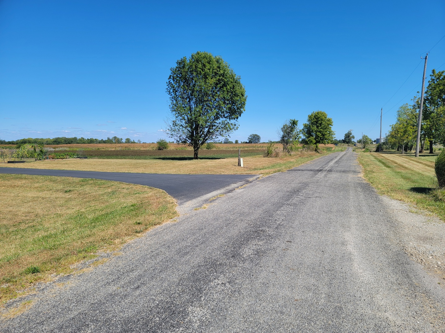
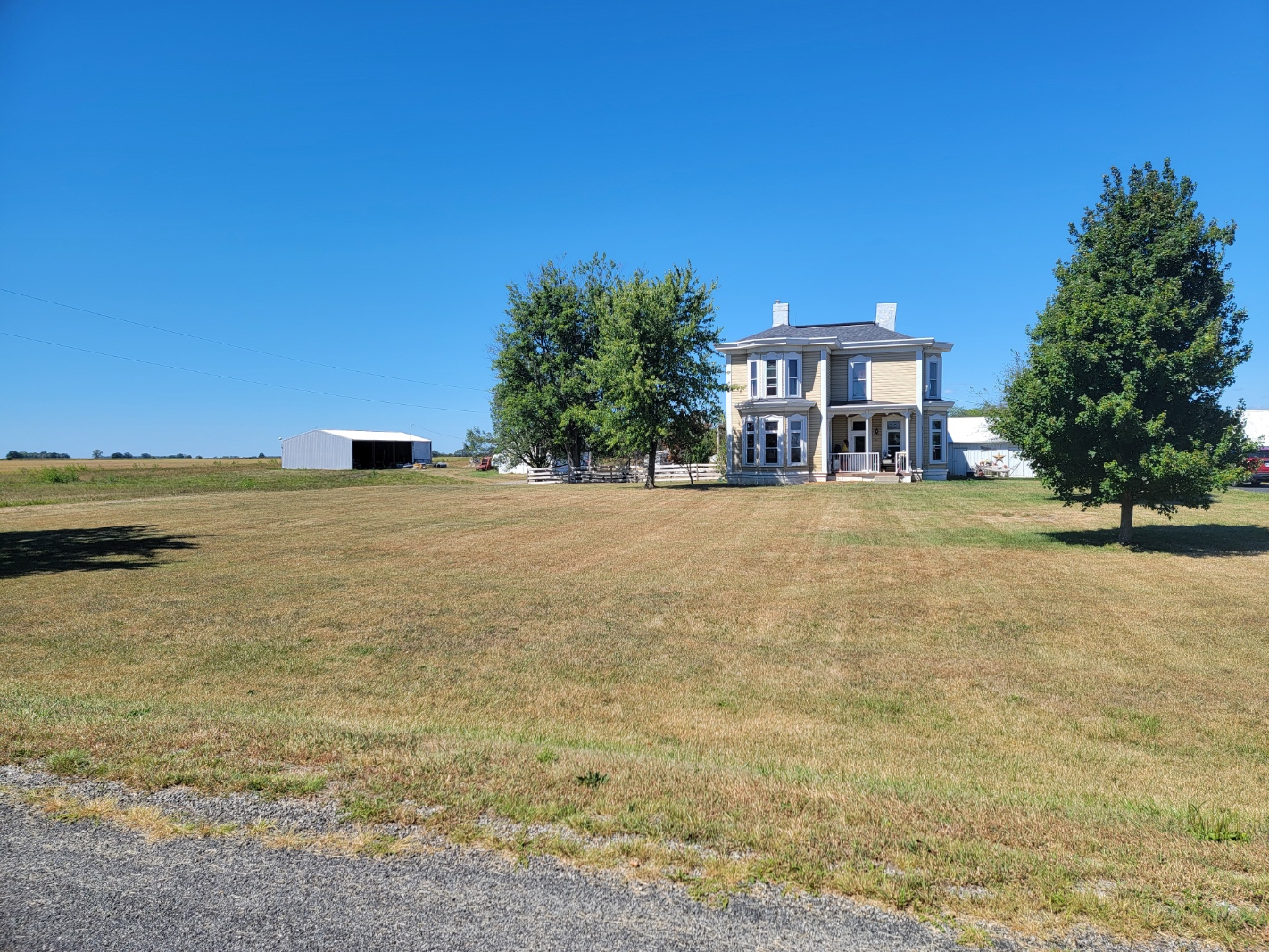
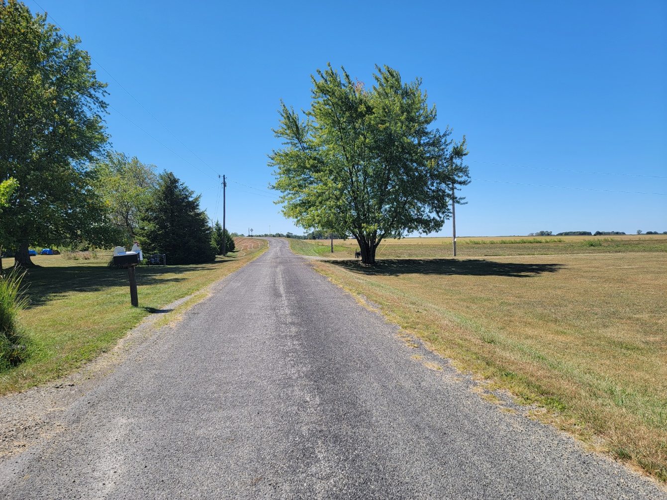
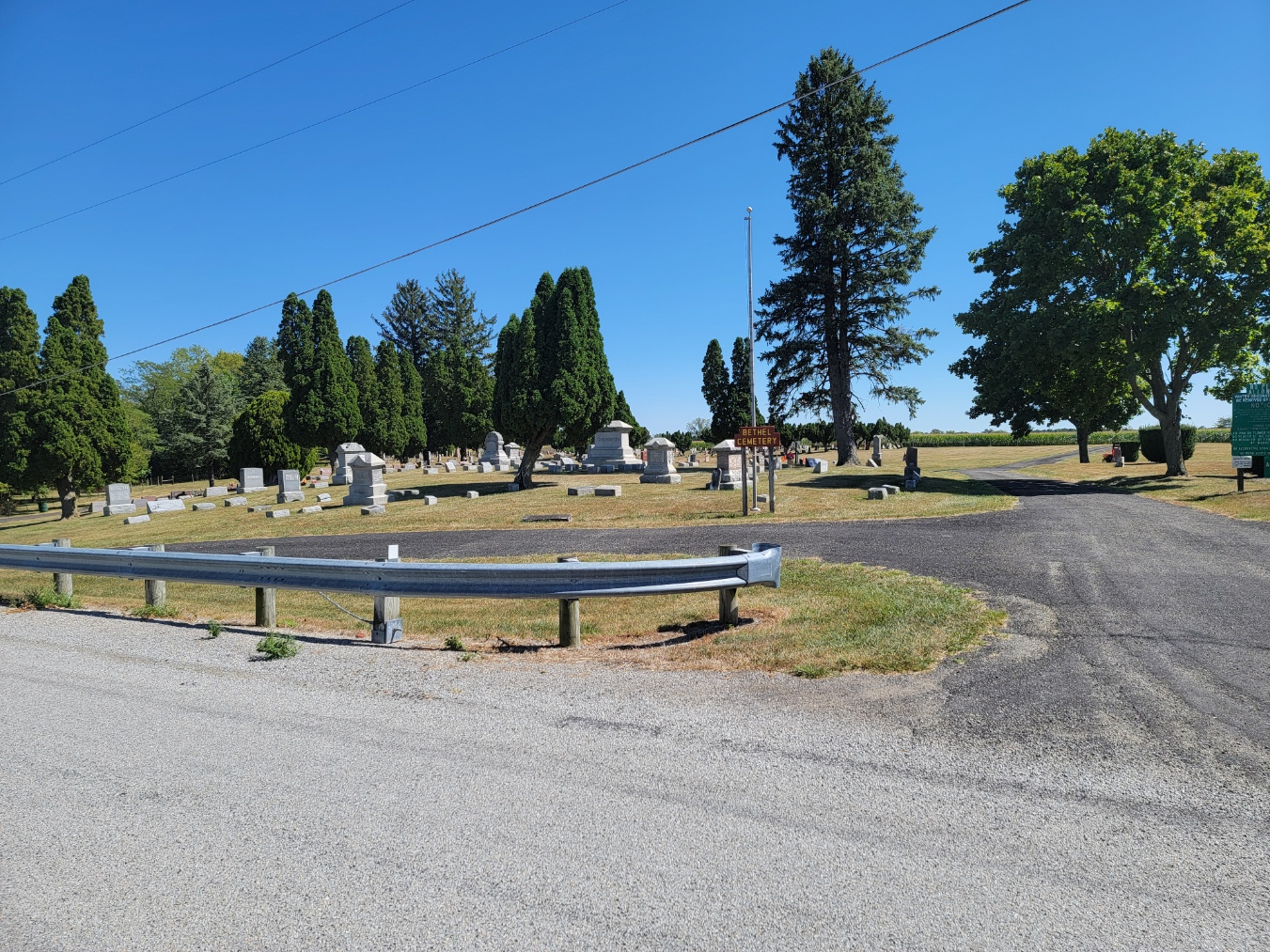
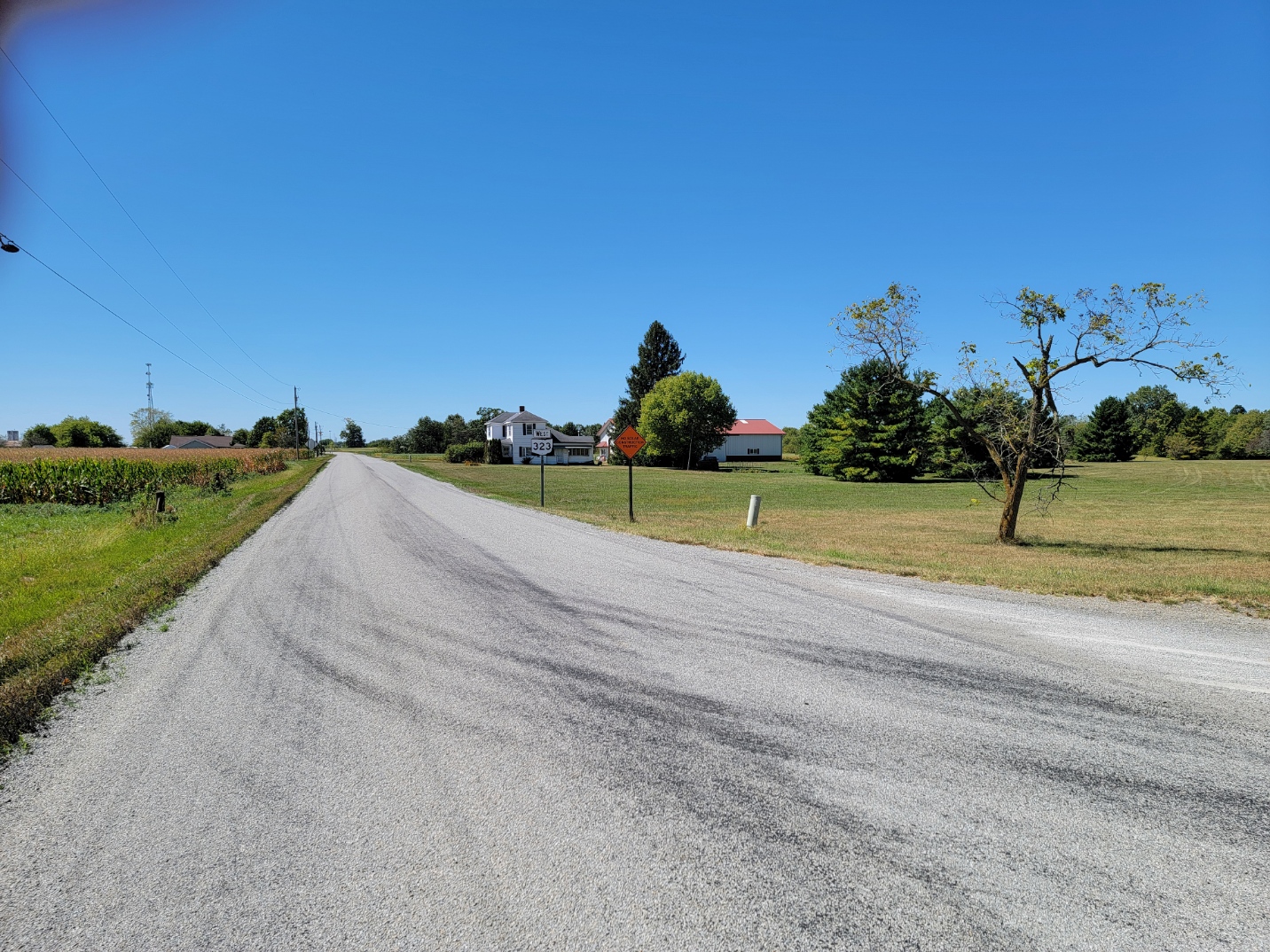
Bethel
Mail now comes through the London Post Office. Nothing is left now but two houses and the nearby Range Twp Cemetery. Wiki identifies the place, but it does not appear on any lists of communities in the county. I visited it, It has two houses, the oldest built around 1930. It is located on Bethel Road, a dead-end road off SR 323, next to Interstate 71. The owner of the one home (a farm) did not know the area, other than the house was said to be around 90 years old when he bought it in 2022.
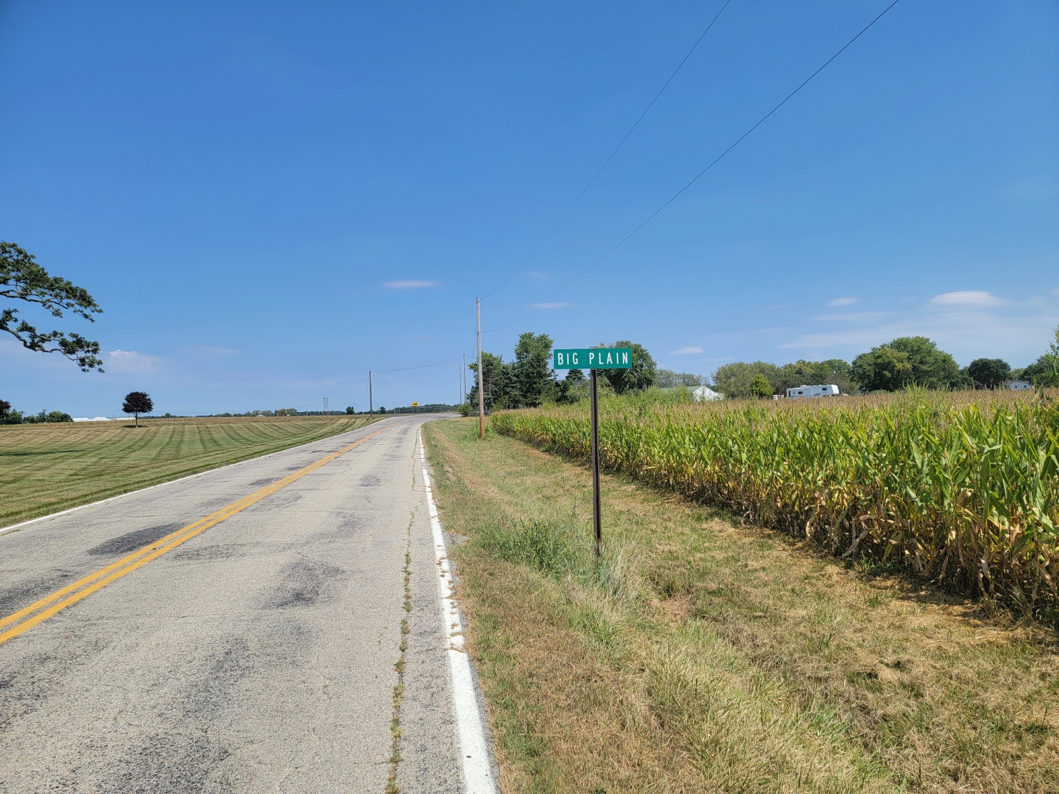
Big Plain
ZIP Code 43140 – Coordinates: 39°50′19″N 83°17′21″W.
As of 1875, the population was about 125 and in 1915, the population was 200. The population is unknown today. It is not listed in Ohio Demographics. It is located 10.1 miles east-southeast of London and 8.4 miles almost due south of West Jefferson.
Big Plain is an unincorporated community in Fairfield Twp. It is located at the intersection of West Jefferson-Kiousville and Big Plain-Circleville Road, about 4 miles north of Kiousville.
The community was originally laid out by Thomas Chappel, Robert Thomas and William D. Pringle in the spring of 1849, and was then named California, after the recent gold rush in the state of the same name. The community was later expanded by Pringle. As of 1875, the community had one church, two dry goods stores, a drug store, two blacksmith and wagon shops, two physicians, and one shoe shop. Since there was already being a post office named California elsewhere in the state, the Big Plain Post Office was established on June 17, 1850, named after large prairies in the area known as the “Big Plains”. To prevent any confusion, the name of the community was changed to match the name of the post office sometime between 1875 and 1905. The post office was discontinued on December 14, 1905. The mail service is now sent through the London branch. As of 1915, the community contained a church, a Knights of Pythias lodge, and the township hall.
Big Plain has been the site of a recent controversy. Leeward Renewable Energy purchased 1500 acres of land began construction of the Big Plain Solar farm with a a 1906 MWAC capacity and a 138KV substation in 1922. This was done amid a series of surrounding community informational meetings with considerable pro and anti sentiments, sometimes almost coming to blows and needing law enforcement protection. In 2014 a similar project was being debated in Union County to the north of Madison County with similar meetings. Both had “No Solar on Prime Farm Land” signs on almost every farm in both counties.
Bill Gates is said to have a stake in this project and investment research appears to confirm this, even though his name is not on the property records. The ultimate source of the project is OMERS, a Canadian Investment Firm a subsidiary of Borealis Group based in Victoria, Canada. Singapore, Malaysia and Vienna, Austria that manages companies and hotels worldwide and is a Dutch-based investment and management company that operates in over 120 countries and whose sales exceed 10 billion Euros. The financial and political power behind solar projects means that no protests will defeat Solar, unless the government decides to regulate purchase, development, and land usage including disposal of burned-out panels. California passed a law outlawing the disposal of solar panels in landfills. Instead, they are transported by truck and train to a miles-long landfill outside of Yuma, Arizona. Ohio will face a similar situation near the year 2050.
As of 1875, the population was about 125, and as of 1915, the population was 200. ZIP Code 43140 Coordinates: 39°50′19″N 83°17′21″W.
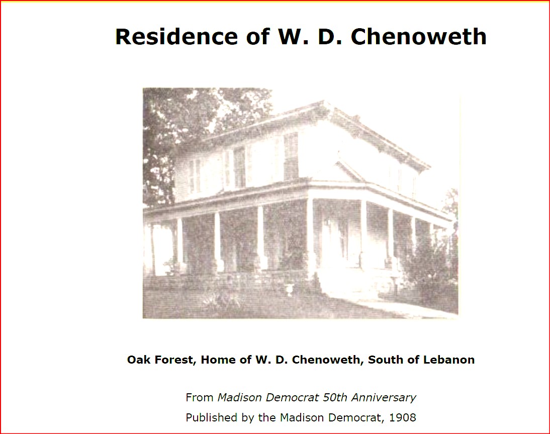
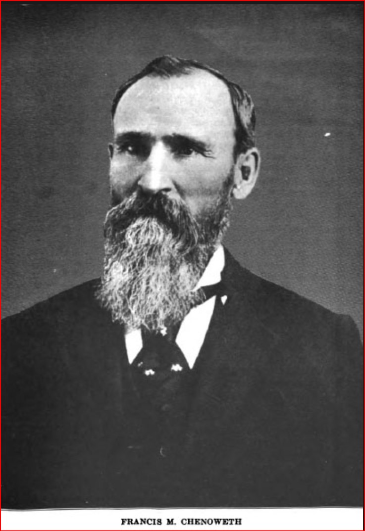
Chenoweth
ZIP Code 43143 Coordinates: 39°43′52″N 83°21′27″W
Early and current population is unknown. It is not listed in Ohio Demographics. Today it is served by the Mount Sterling Post Office. It is located about 1/2 miles north and 5 miles west of Mt Sterling.
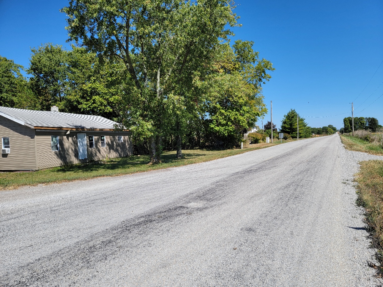
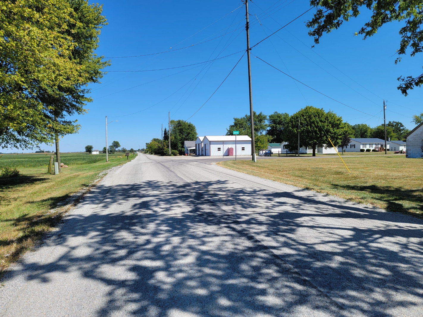
Chenoweth is an unincorporated community in Range Twp, along SR 323 between MClimansville and Range. It was never platted and bears the name of John Chenoweth, a pioneer settler. A post office existed between Oct 1887 and Sep 1900. The community had one grocery store, a blacksmith and a small group of houses.
Chrisman
ZIP Code 43143 Coordinates: 39°49′59″N 83°22′22″
Early and current population is unknown. It is not listed in Ohio Demographics.
Chrisman is an unincorporated community in Oak Run Twp, located at the intersection of London-Circleville Rd (SR 56) and Gregg Mill Rd, (Twp Rd 100) about four miles southeast of London. It was never platted. A Post Office was there from 1896 to 1901. Nothing was there but a few houses.
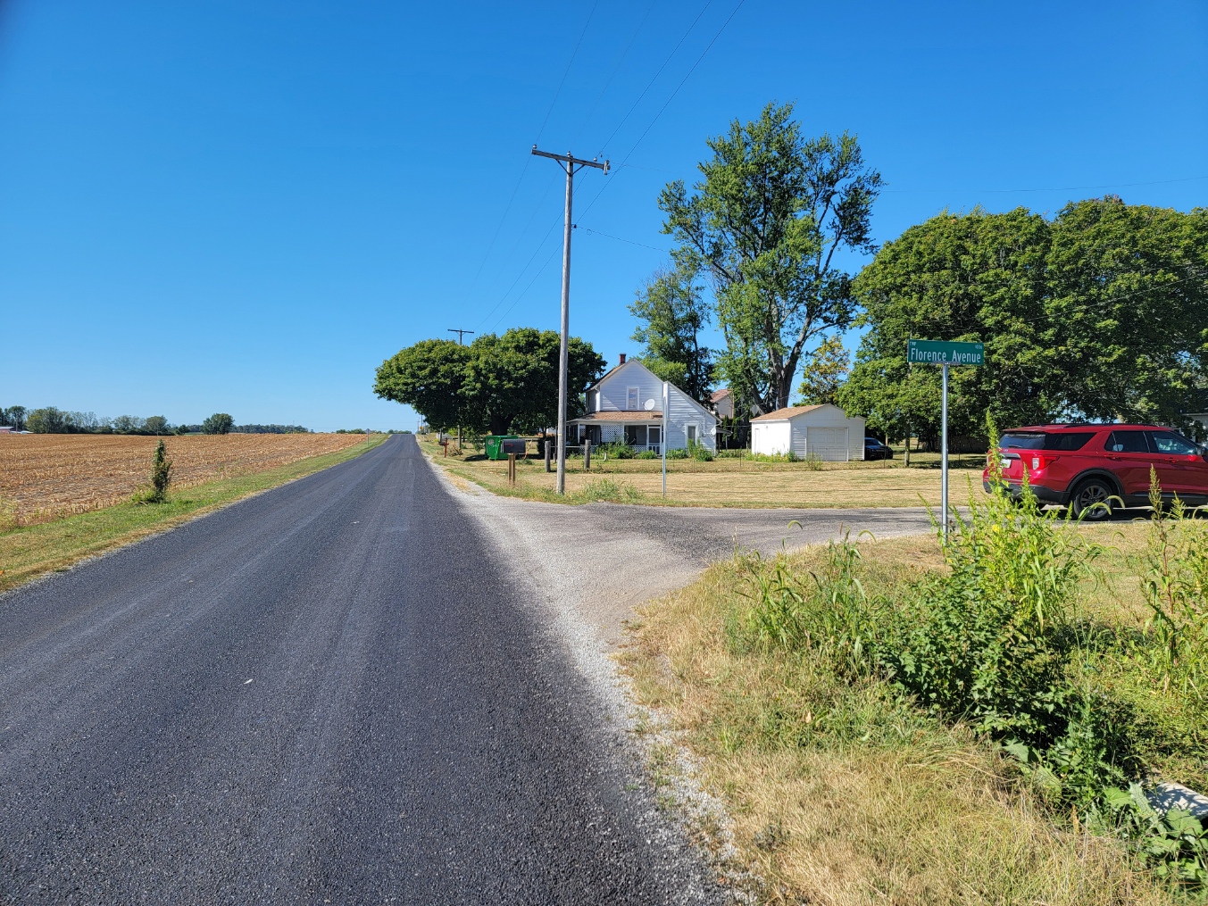
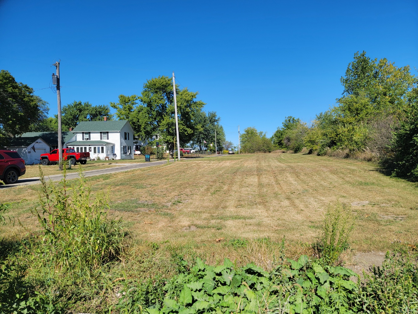
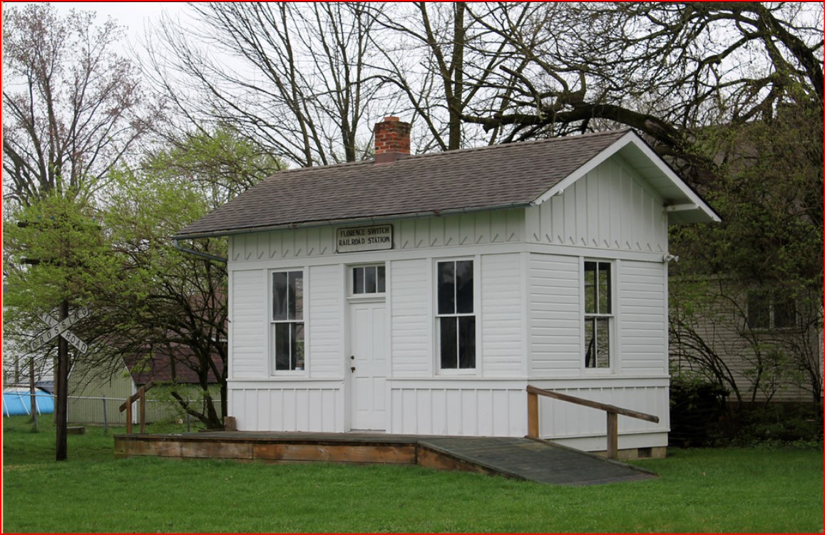
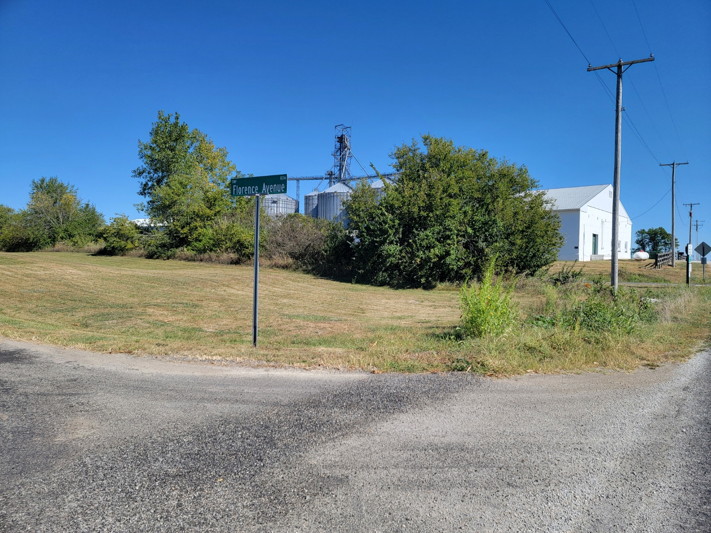
Florence
ZIP Code 43140 Coordinates: 39°50′52″N 83°32′50″
Early and current population is unknown. It is not listed in Ohio Demographics. It is located 6.5 miles southwest of London.
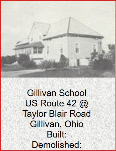
Gillivan
ZIP Code 43162 Coordinates: 40°06′16″N 83°12′39″W.
Early and current population is unknown. It is not listed in Ohio Demographics. It is located 9.0 miles northeast of London, 9.9 miles southwest of Plain City and 5.1 miles northwest of West Jefferson.
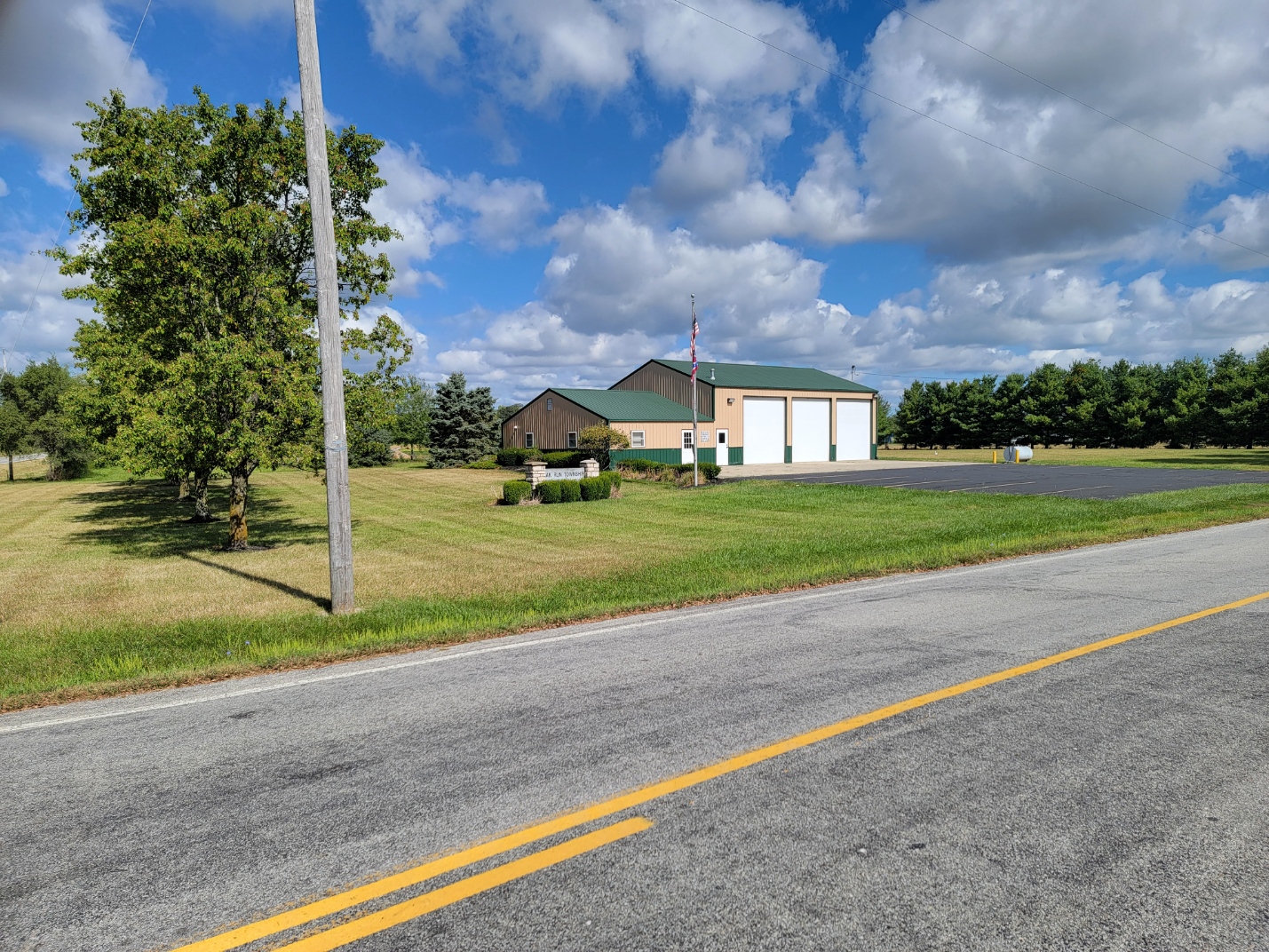
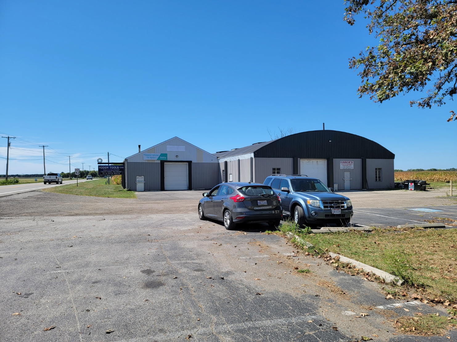
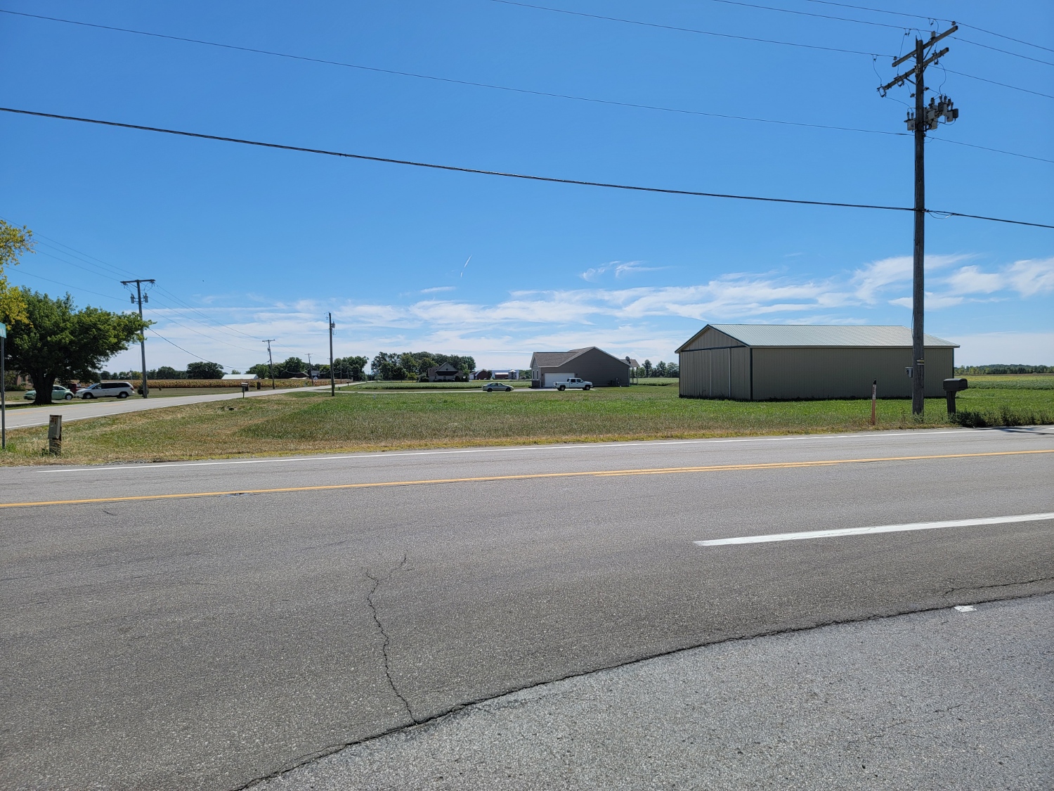
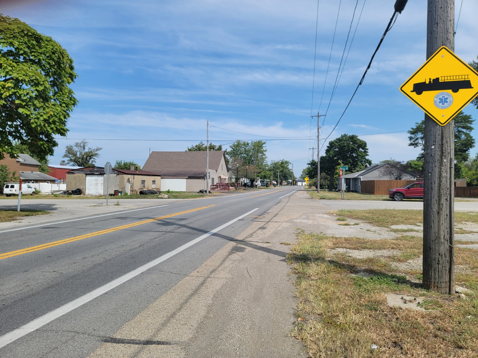
Gillivan is an unincorporated community in Jefferson Twp, along US 42 at the Taylor Blair Road intersection. It was never platted, just houses formed along a crossroads There was a general store, a hardware store, one blacksmith and six houses as of 1915. There is the Victory Baptist Church and Yoder Tools there today. There are a few houses.
Kileville
ZIP Code 43064 Coordinates: 40°06′16″N 83°12′39″W
Early and current population is unknown. It is not listed in Ohio Demographics. But based on the number of business locations, there was a small population perhaps more than 50. It is located 3.2 miles east of Plain City.
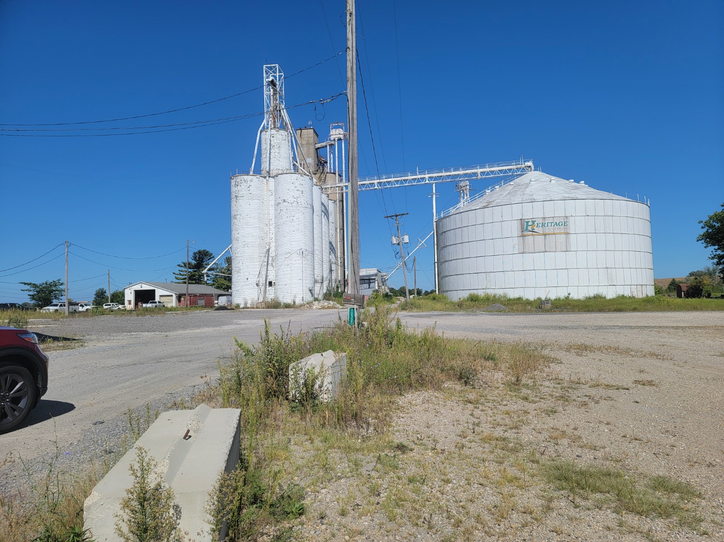
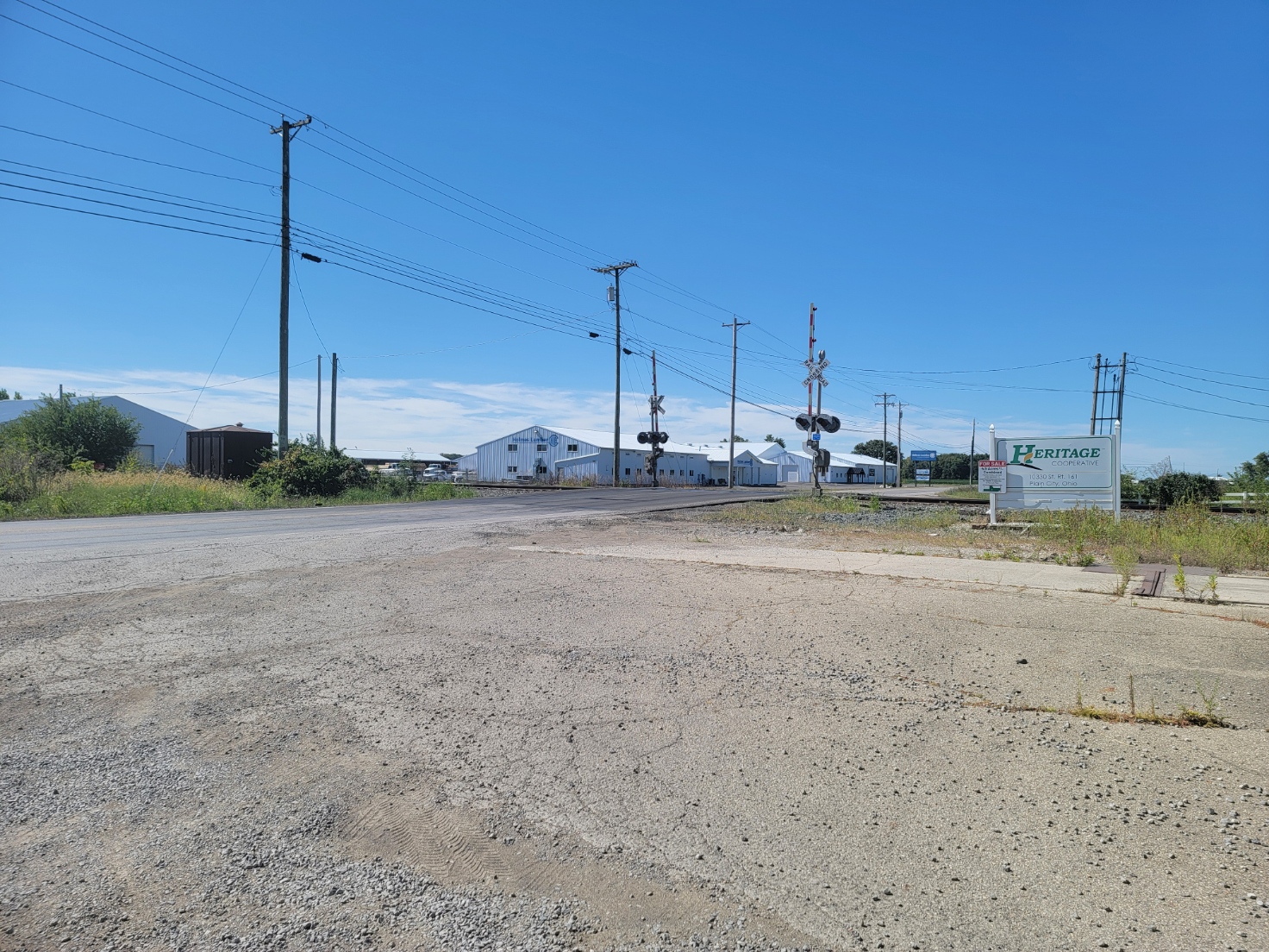
Kilevile is an unincorporated community in Darby Twp, located along SR 161 between Plain City and Dublin. It was platted on Oct 2, 1895, by James Kile, a farmer who owned the land. It is located on the CSX railroad; but is only a small stop. It was classified as a village with a general store, grain elevator, blacksmith and post office.
Kiousville
ZIP Code 43140 Coordinates: : 39°47′50″N 83°17′41″W
Early and current population is unknown. Kiousville is located 12.2 miles southeast of London and 6.6 mile north-northwest of Mount Sterling.
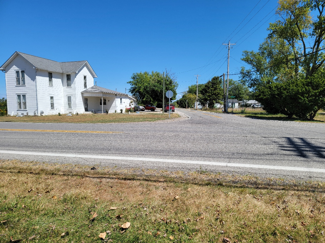
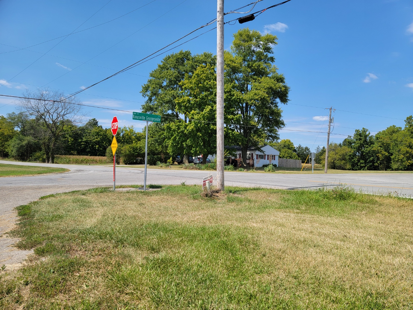
Kiousville is an unincorporated community in southern Fairfield Township, Madison County, Ohio, United States. It is located at the intersection of Kiousville-Georgesville Road and McKendree Road.
The community was originally known as Warnersville, after the owner of the land, Mr. Warner. The first store opened about 1867. The first post office was established on January 27, 1875, as the Warnersville Post Office and discontinued on June 17, 1879.
On February 28, 1881, the post office was re-established as the Kiousville Post Office, but was again discontinued on September 15, 1900. The mail service is now sent through the Mount Sterling branch. As of 1915, the community contained only a few houses, one general store, and one blacksmith.
Mil service today is the Mount Sterling Post Office.
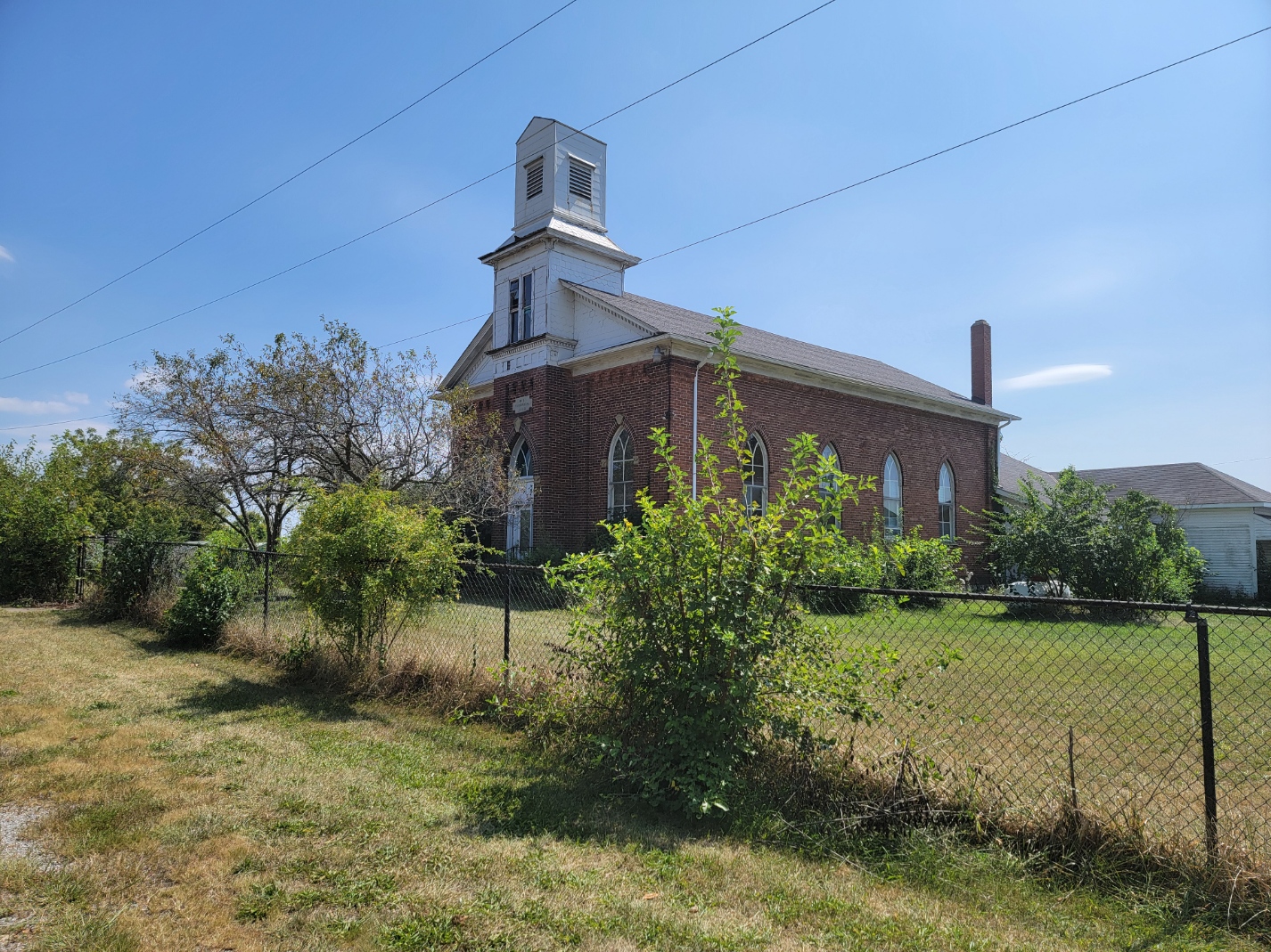
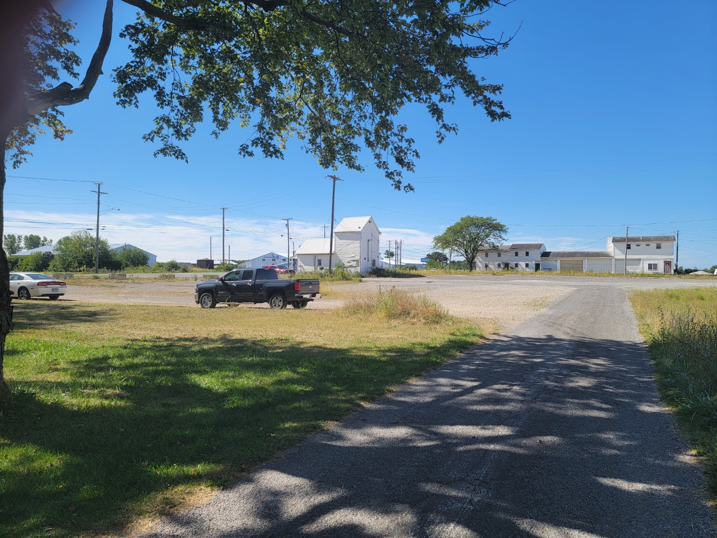
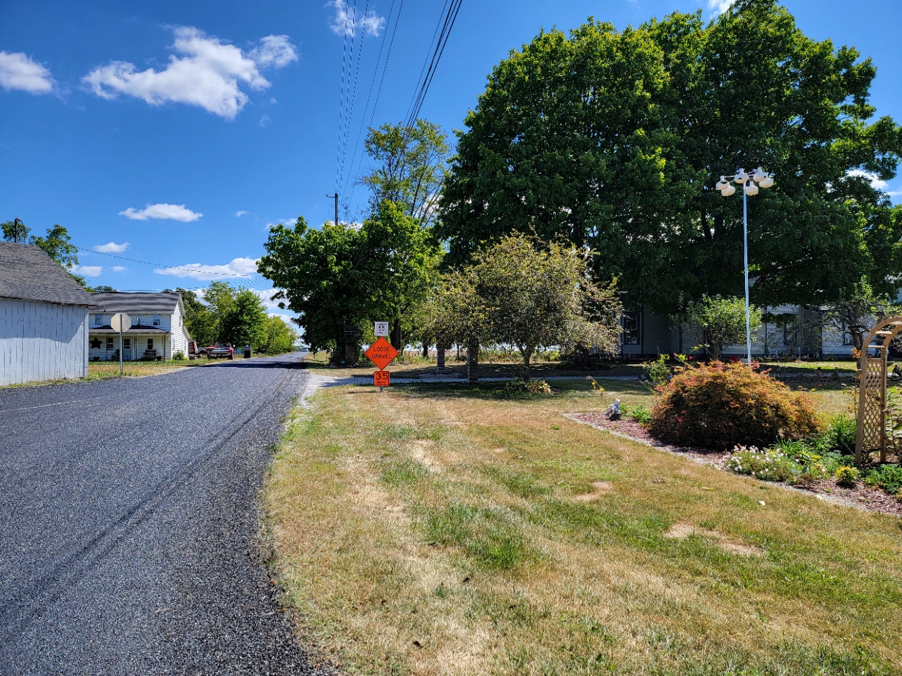
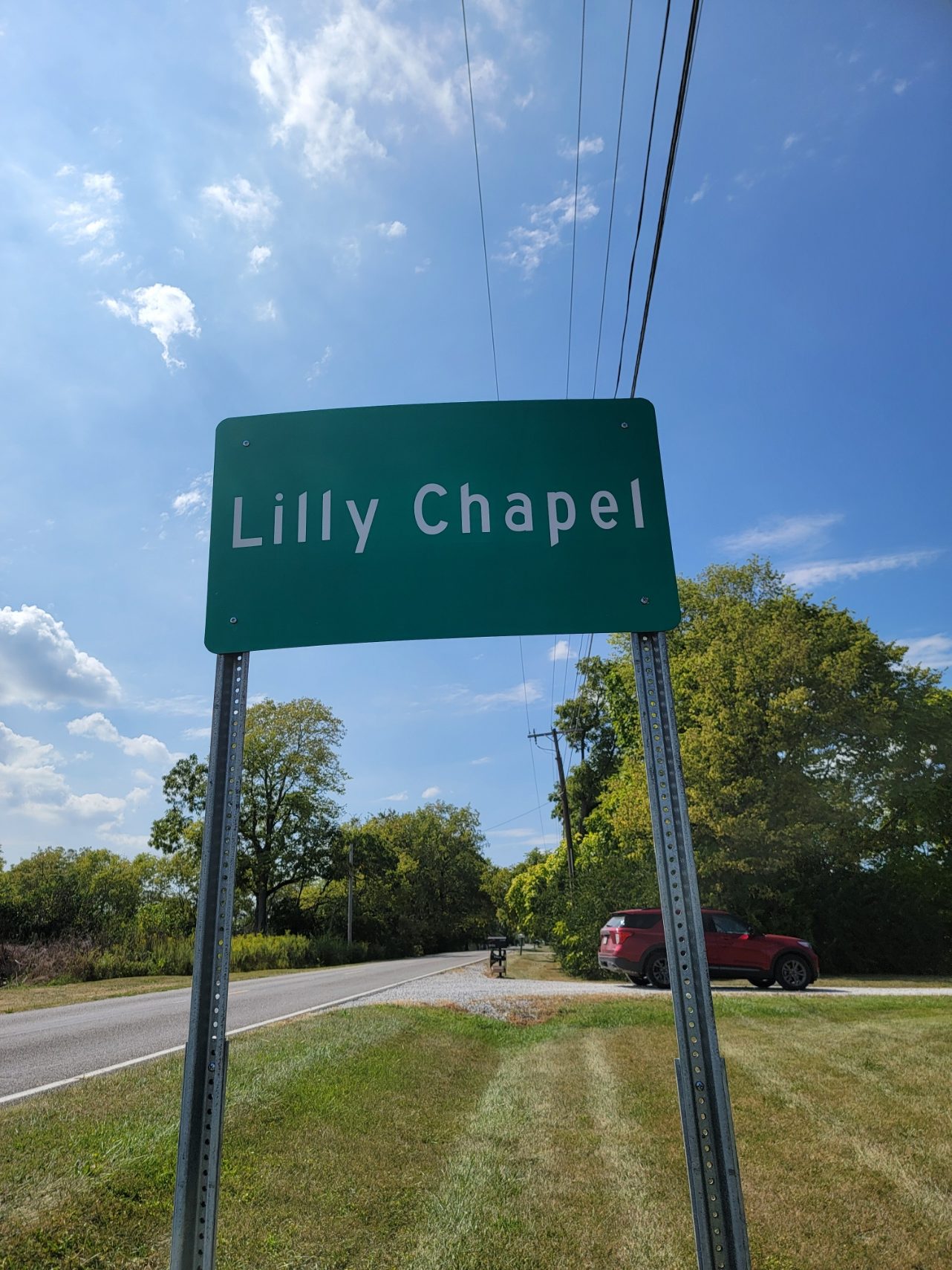
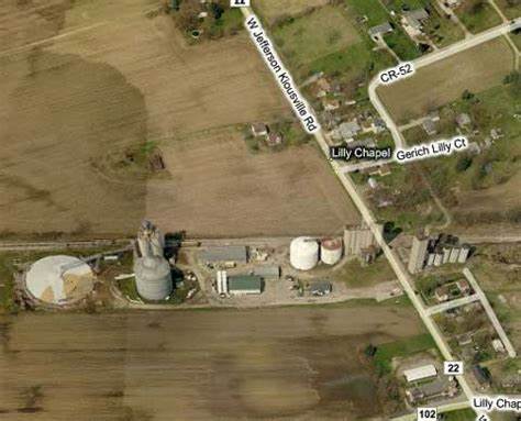
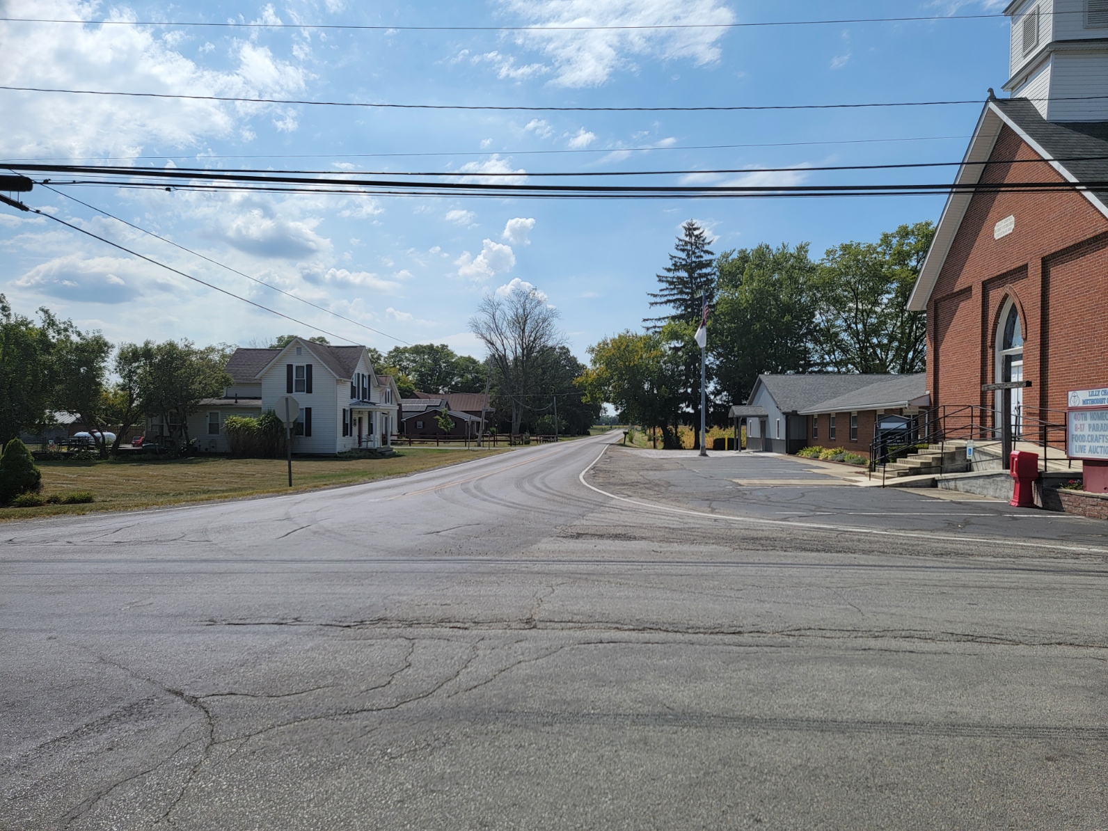
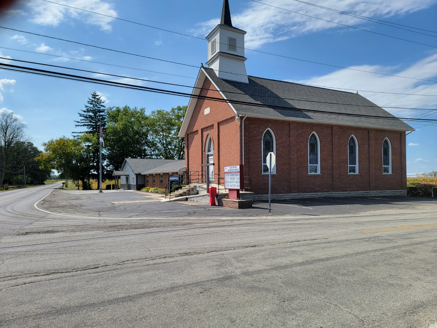
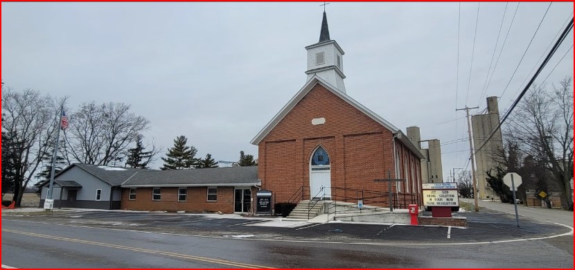
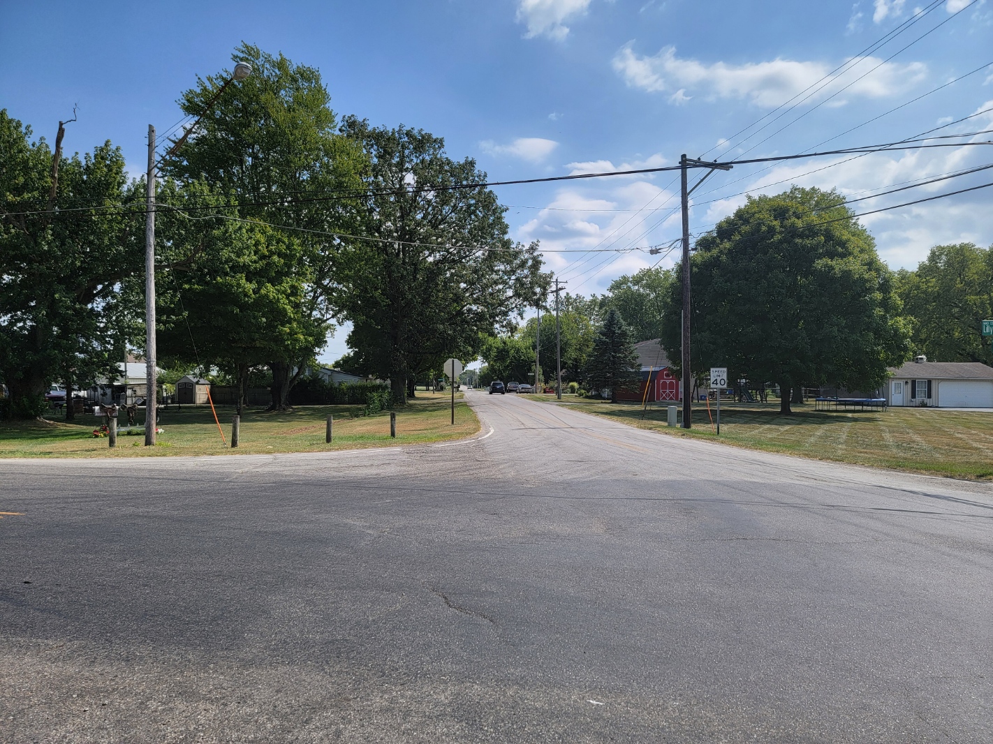
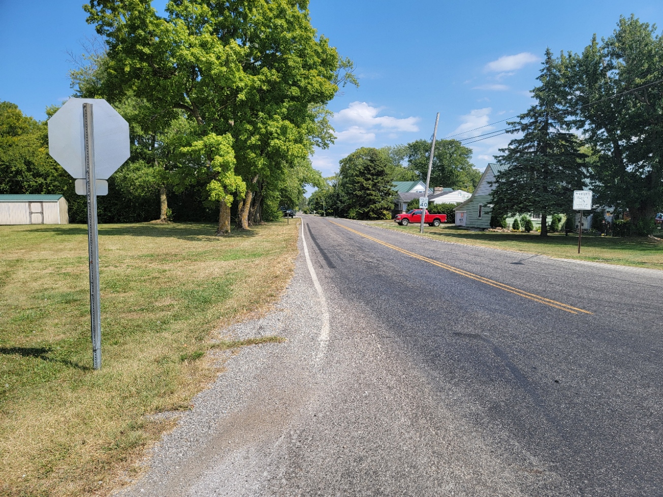
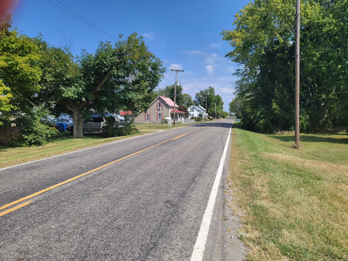
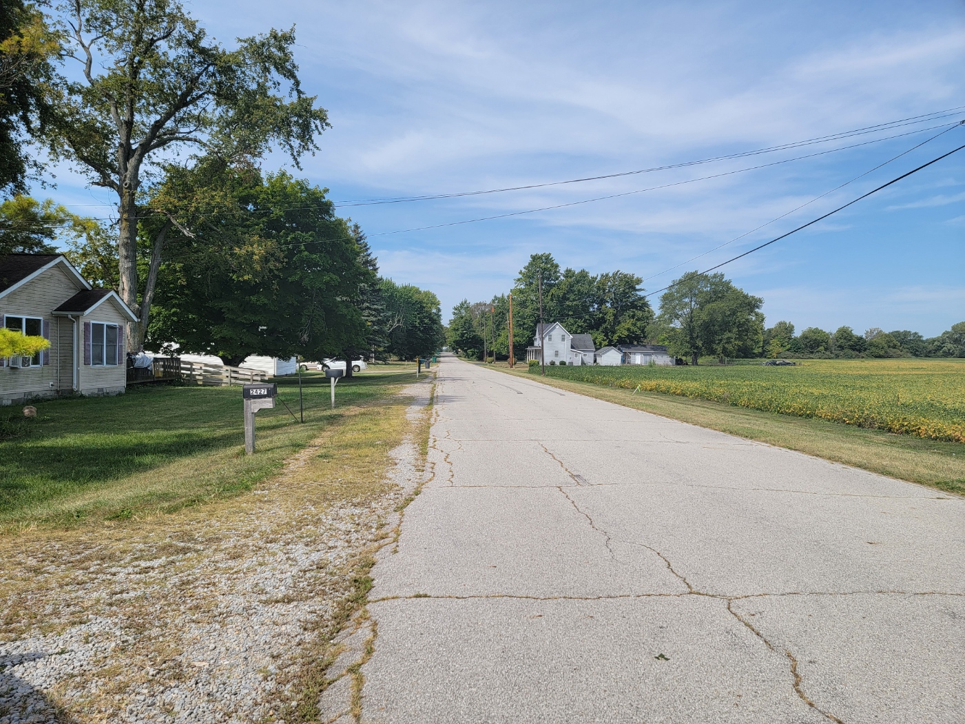
Lilly Chapel
ZIP Code 43162 Coordinates: 39°53′20″N 83°16′54″W
Early and current population is not recorded. Lilly Chapel is 9 miles east of London and 4.5 miles south of West Jefferson.
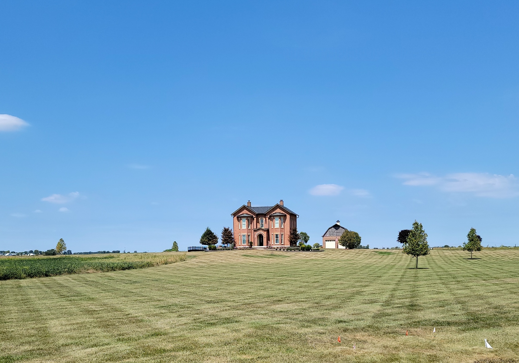
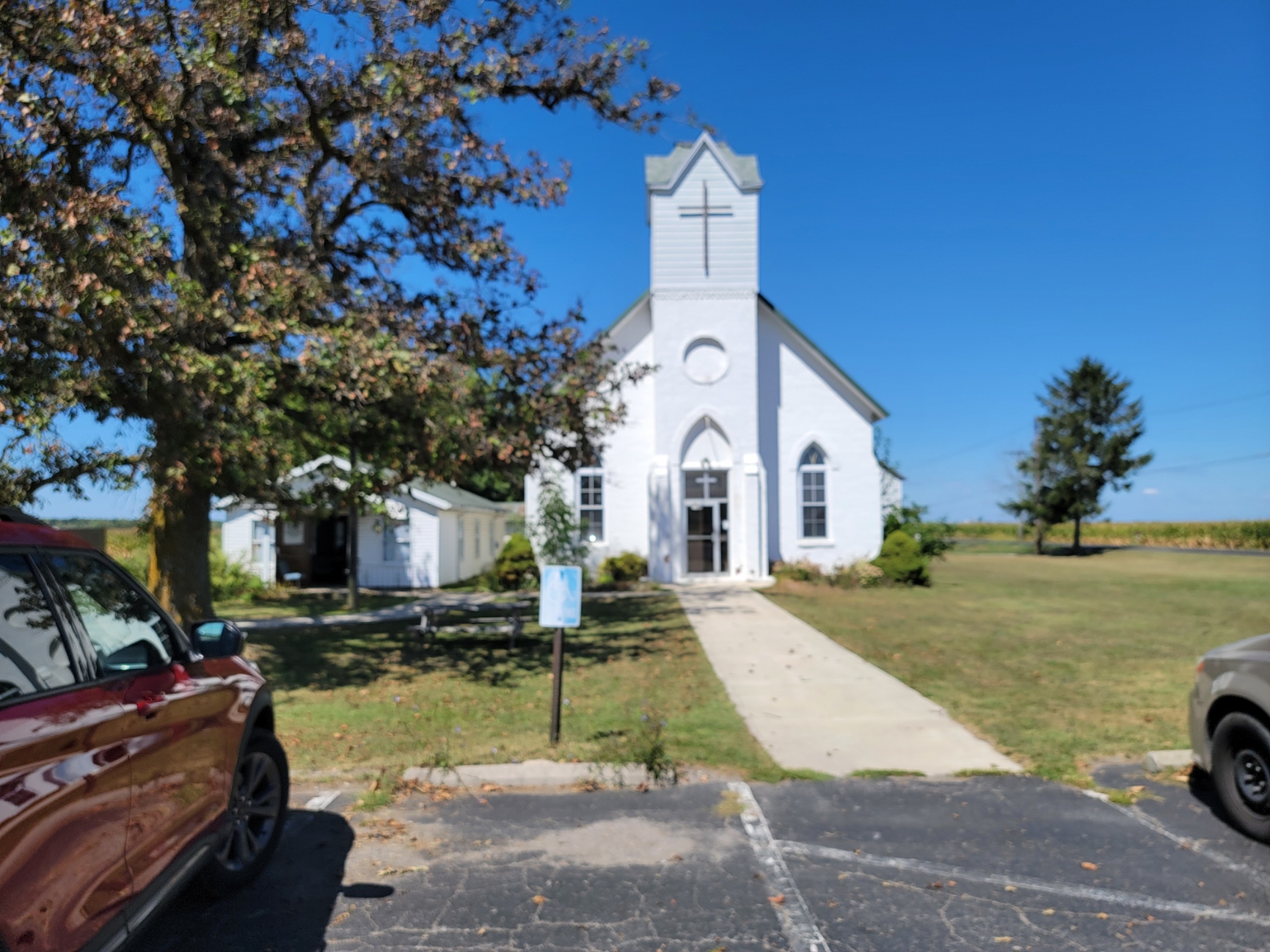
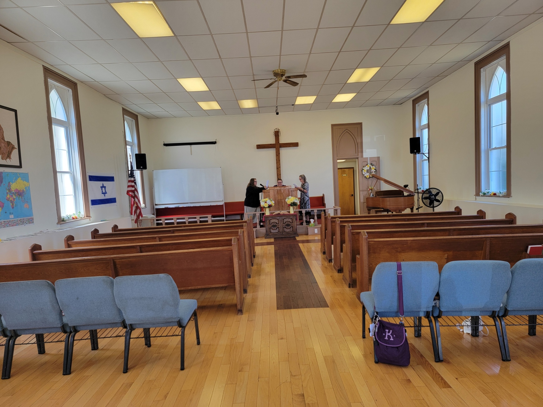
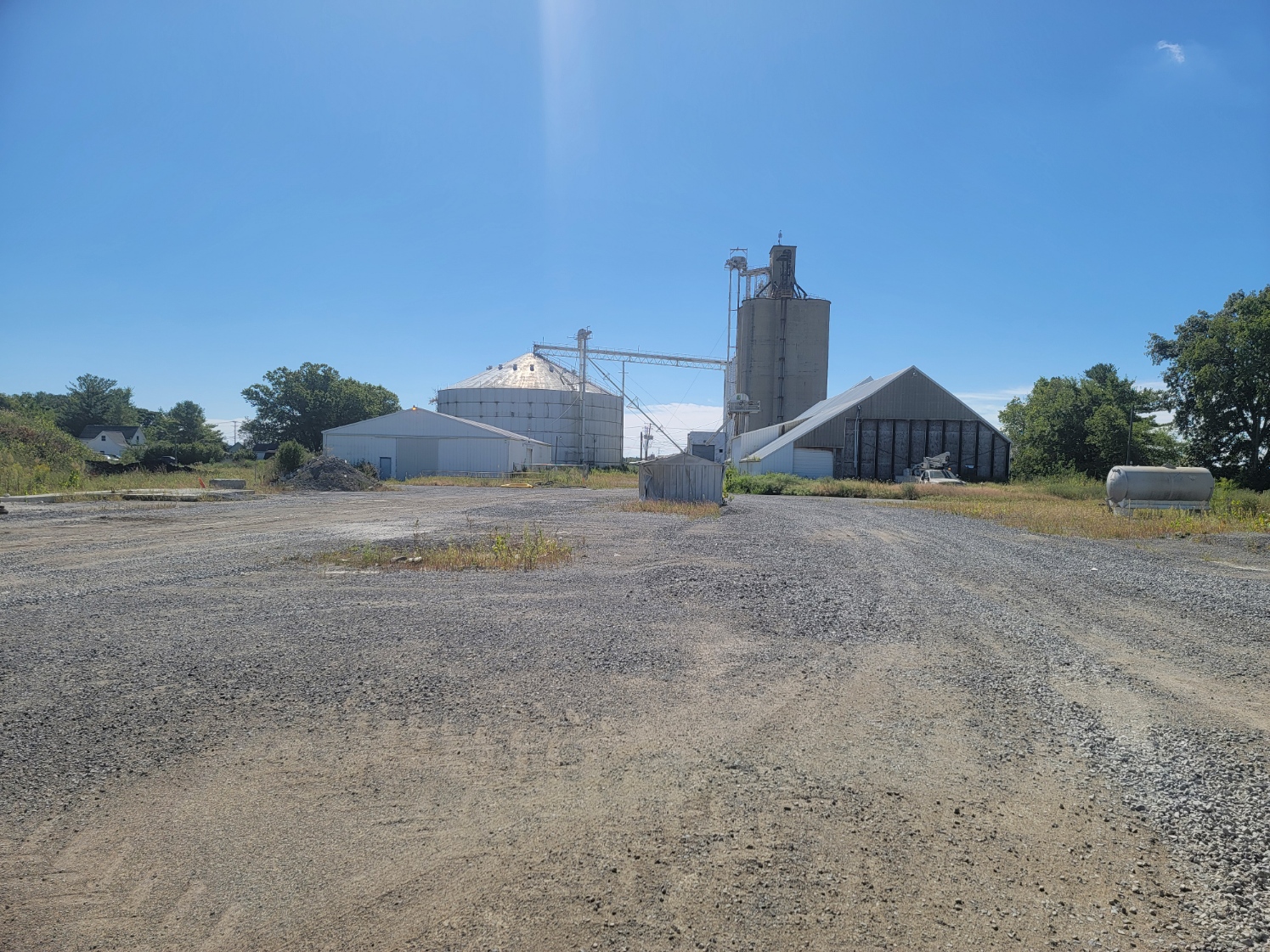
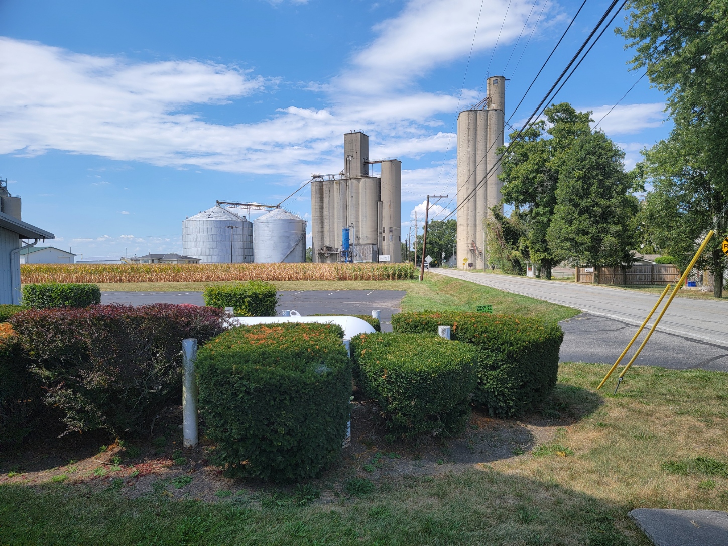
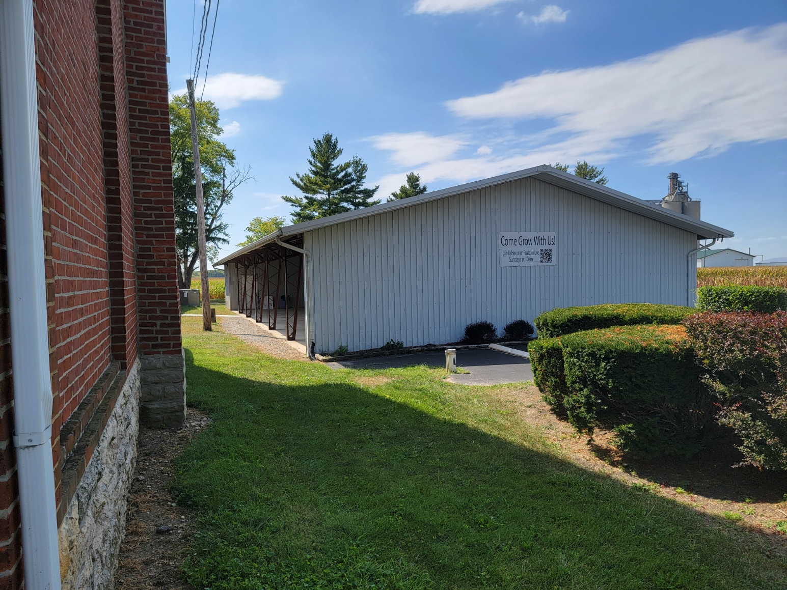
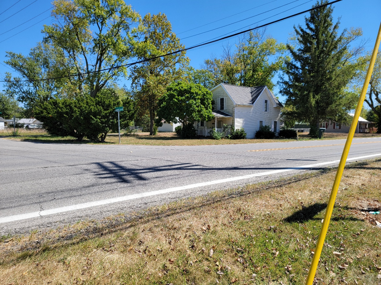
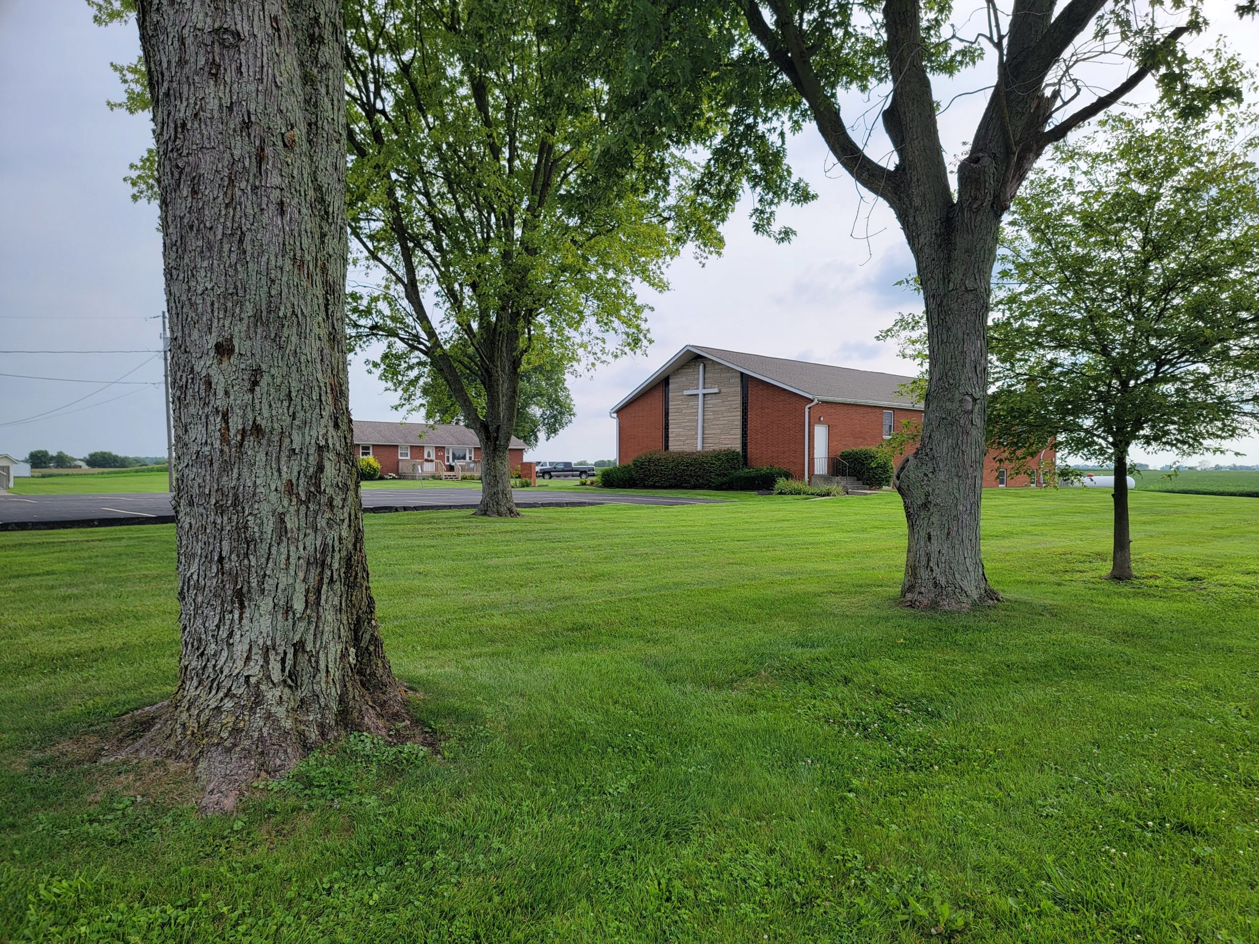
Lilly Chapel stands out among the unincorporated villages in the county. It is an anomaly. Even though there is no store and just one industry, the grain elevator at the west end of the Camp Chase RR, the community is vibrant. Why? It is because of the effort of the one remaining church, the Lilly Chapel Methodist Church. If a community has a heart, it is this church. I attended the 2024 Trinity Homecoming Parade a 30-minute parade! It was probably the longest in the county. The church serves food, entertainment, and an auction attended by hundreds from the surrounding area. The church also has a hall used for various events for the county.
Lilly Chapel is an unincorporated community in Fairfield Twp. It is located at the intersection of W. Jefferson Kiousville Road and Lilly Chapel Georgesville Road, approximately three miles west of Georgesville in Franklin County, 9 miles from London – 4.5 miles from West Jefferson.
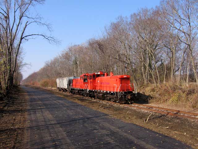
In 1850, a Methodist church was built on land owned by Wesley Lilly, and in recognition of his donation of land, the church was named “Lilly Chapel”. At the time, there was no community, although the church did draw many settlers from that part of Union County. In 1871, a Short-line railroad, the Columbus, Springfield and Cincinnati RR was announced running between Columbus and Springfield, and a store was opened near the church in expectation of the railroad. In 1873, the railroad was completed. A station was opened and named Lilly Chapel. The railroad is now the Camp Chase Railroad owned by the Gulf & Atlantic Railways. The line west terminates in Lilly Chapel and going east connects to Norfolk and Southern RR at the Buckeye Yard in Columbus. It is actively shipping grain for Lakeview Grains of West Jefferson out of the grain silos and the elevator in Lilly Chapel.
The community was laid out on August 28, 1871, by Henry Gilroy and Henry Lilly, and was originally named Gilroy. Due to the church and railroad station already being named Lilly Chapel, when Henry Lilly petitioned for a post office, he kept Lilly Chapel as the post office name. The Lilly Chapel Post Office was established on April 16, 1873, and the first postmaster was Thomas Horn, the community’s first railroad agent. The town’s first physician was Dr. Taggart, who moved to Lilly Chapel in 1880. By 1885, the community contained three general stores, one grocery store, two blacksmith shops, a wagon and buggy shop, two steam sawmills, and two grain elevators. In 1878, a steam-powered tile factory was built. As of 1915, the community contained a bank, two churches, a high school, two general stores, a hardware store, a confectionery, a grain elevator, and a blacksmith. The post office was discontinued on December 31, 1957, and the mail service is now through the West Jefferson branch.
As of 1885, the community had a population of 200. As of 1915, the population was 370.
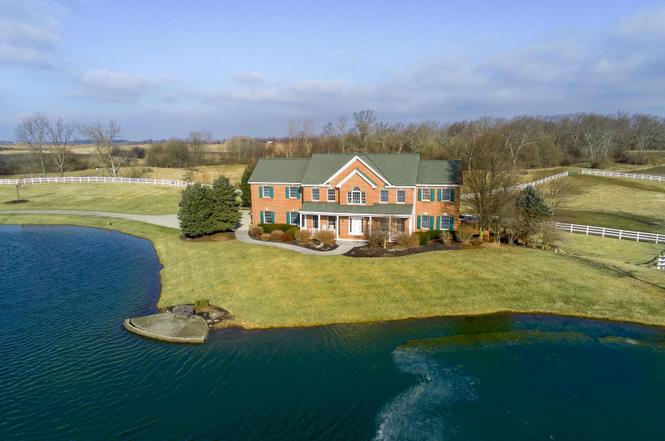
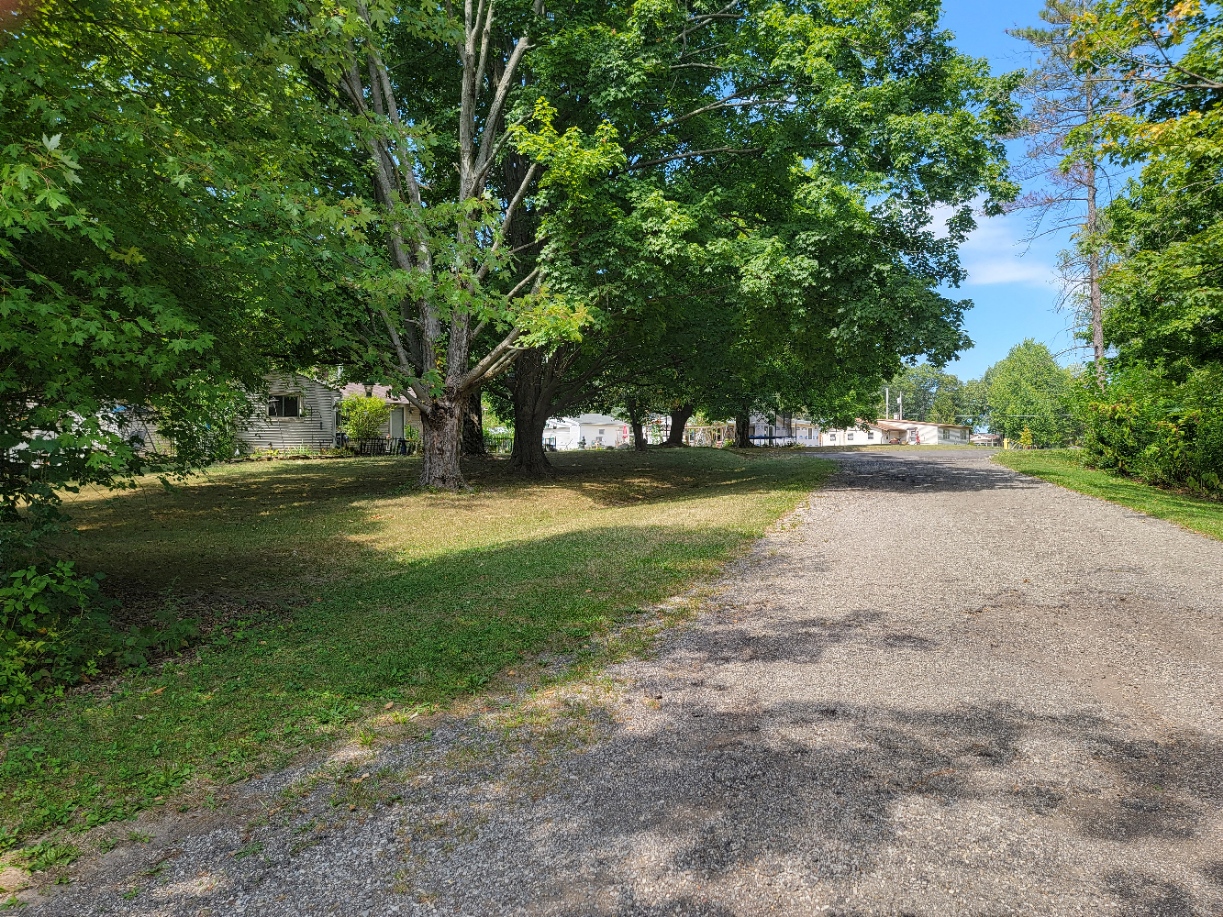
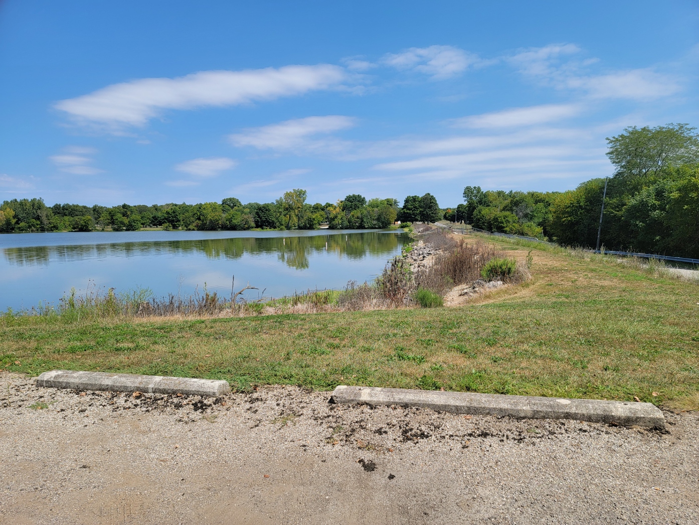
Madison Lake
ZIP Code 43140 – Coordinates: 39°52′25″N 83°22′29″W
There are over 50 homes, The population is probably under 200.
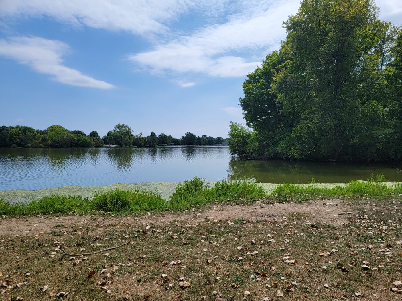
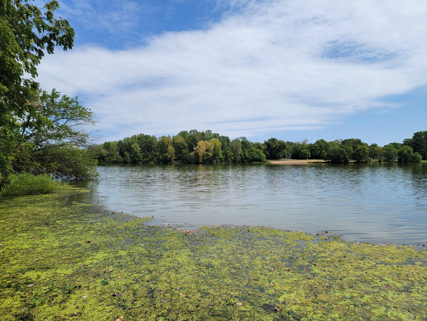
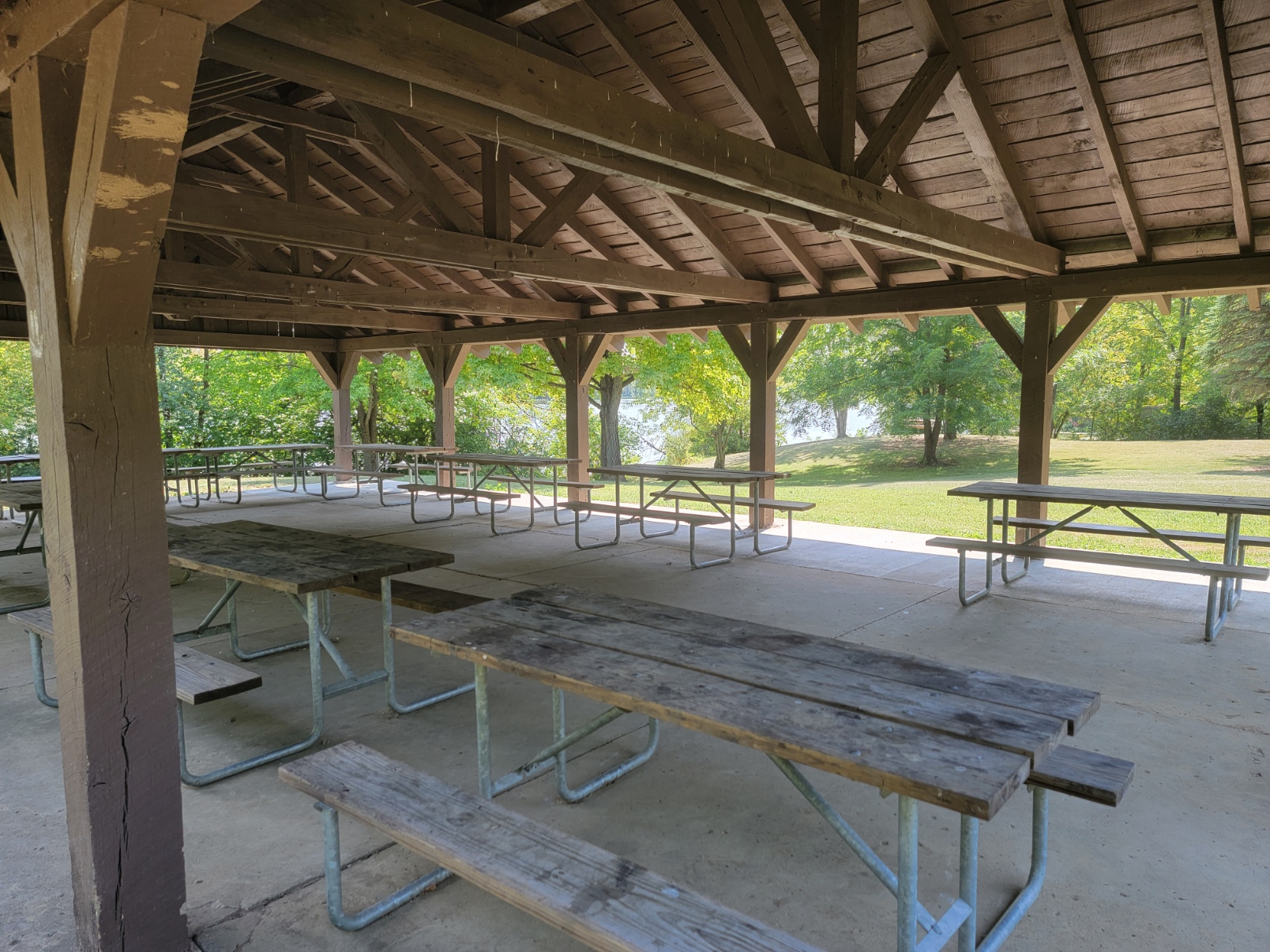
Madison Lake is an unincorporated community in Union Twp. It is located 4.2 miles southeast of London on the western shore of Madison Lake reservoir, for which it was named. Work on the Lake began in 1946 by building a dam across Deer Creek and digging out areas to a six-foot depth. The 98-acre lake was filled in 1947 and in 1950 it was turned over to the Ohio Department of Natural Resources. 183 acres on the east shore is Madison Lake State Park (106 acres are lake and 76 acres are land. There is also a small Boy scout camp. The north end of the Lake is a hunting reserve for migratory game birds, see ODOT.
McClimansville
ZIP Code 43143 – Coordinates: 39°43′43″N 83°16′18″W
McClimansville is an unincorporated community in Pleasant Twp .6 miles north of Mt Sterling at the intersection of SR 323 and SR 56.
McKendree
ZIP Code 43143 – Coordinates: 39°47′09″N 83°16′19″W
McKendree is unincorporated and is located 14.5 miles south-east of London, and six miles north of Mt Sterling, at the intersection of Nioga-Toops and McKendree Roads, southeast of Kiousville.
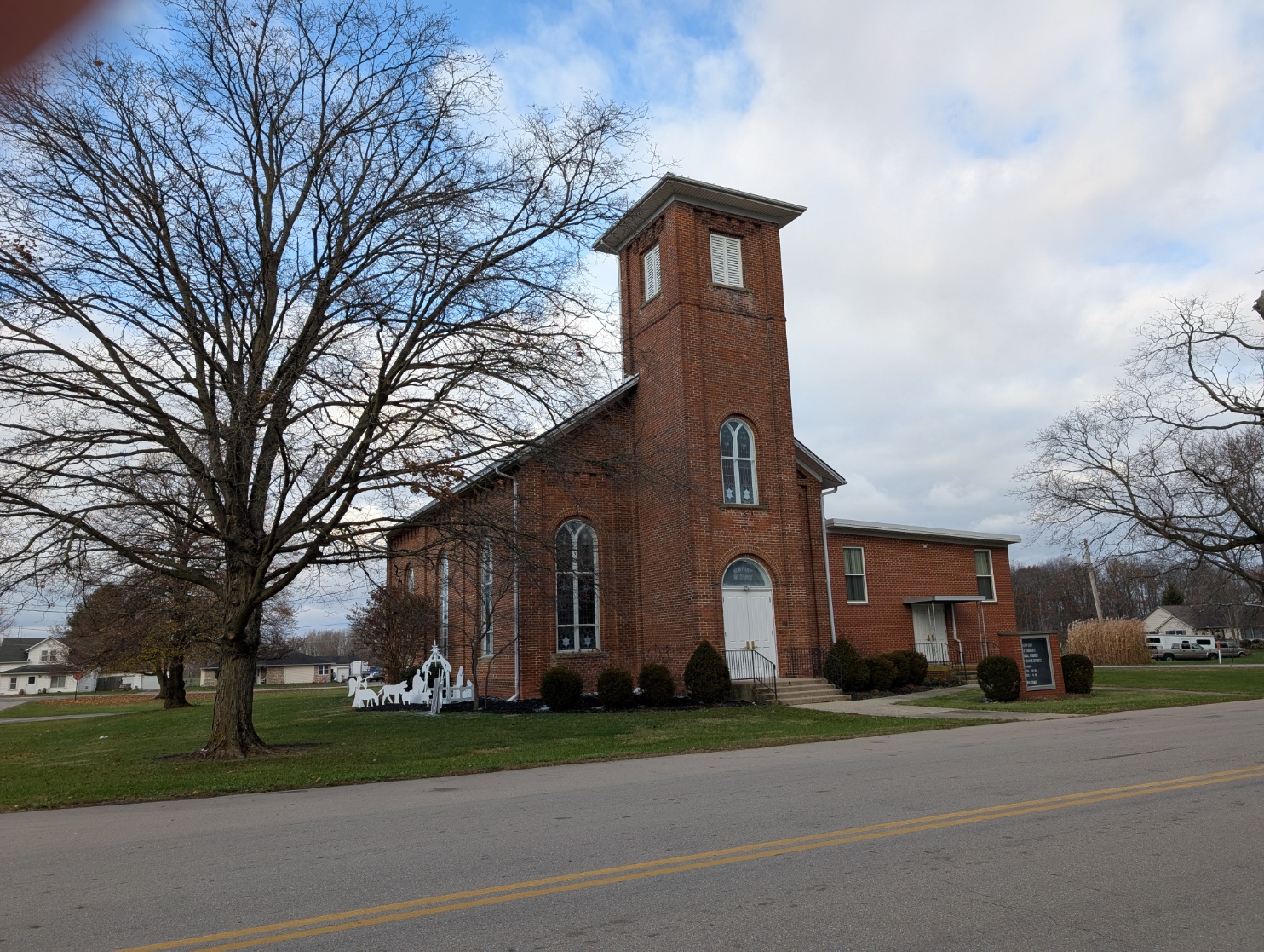
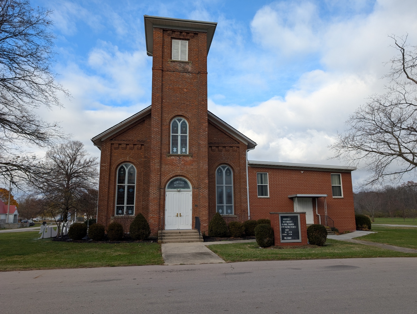
Newport (aka Walnut Run)
ZIP Code 43140 – Coordinates: 39°50′06″N 83°27′55″W
Newport is an unincorporated community in Paint Twp located on SR 38, 4.4 miles south of London.
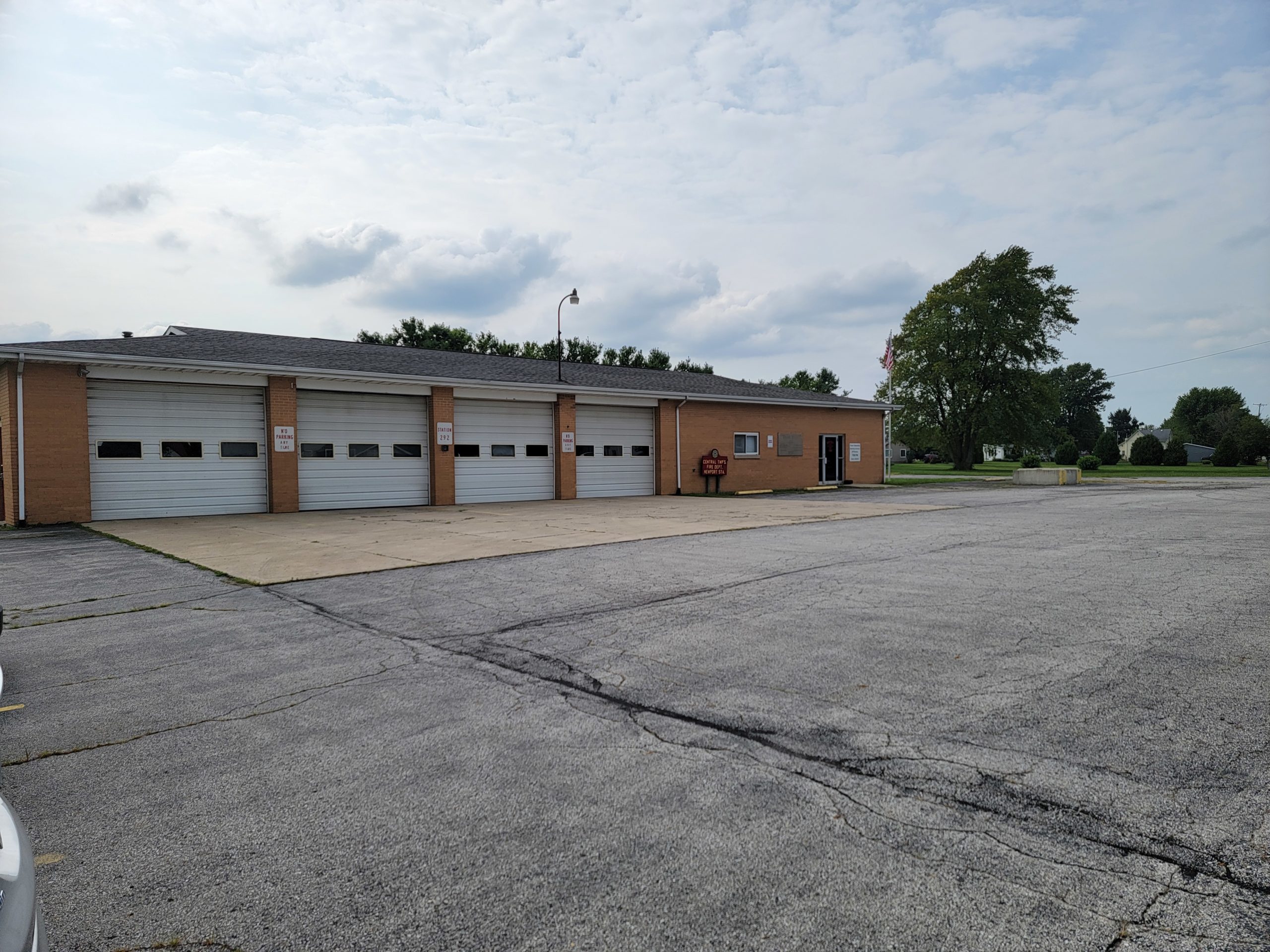
Newport was platted by Ephraim Freshour and William Coberly before 1837. A steam-powered sawmill was built in 1851 and the first store opened in 1854. The Walnut Run Post Office was established in 1856, changed to Walnut Run Post Office in 1895, and discontinued. The London Post Office now delivers the mail. Even though the town was sometimes called Walnut Run because of the Post Office, it has always been officially Newport. The community had two churches, two blacksmiths, a wagon shop, two shoe shops, two grocery stores, and a sawmill. Today it still has two churches, the Newport UMC and the Newport Church of Christ. The Newport Fire Station also hosts the Township Trustees.
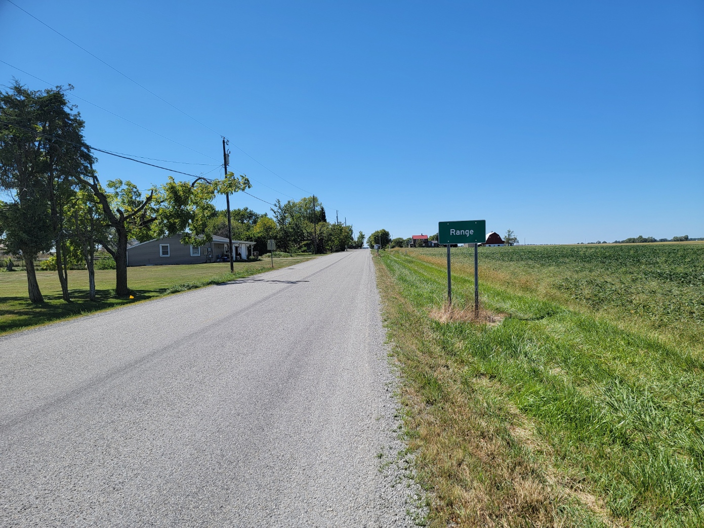
Range
ZIP Code 43140 – Coordinates: 39°43′55″N 83°25′29″W
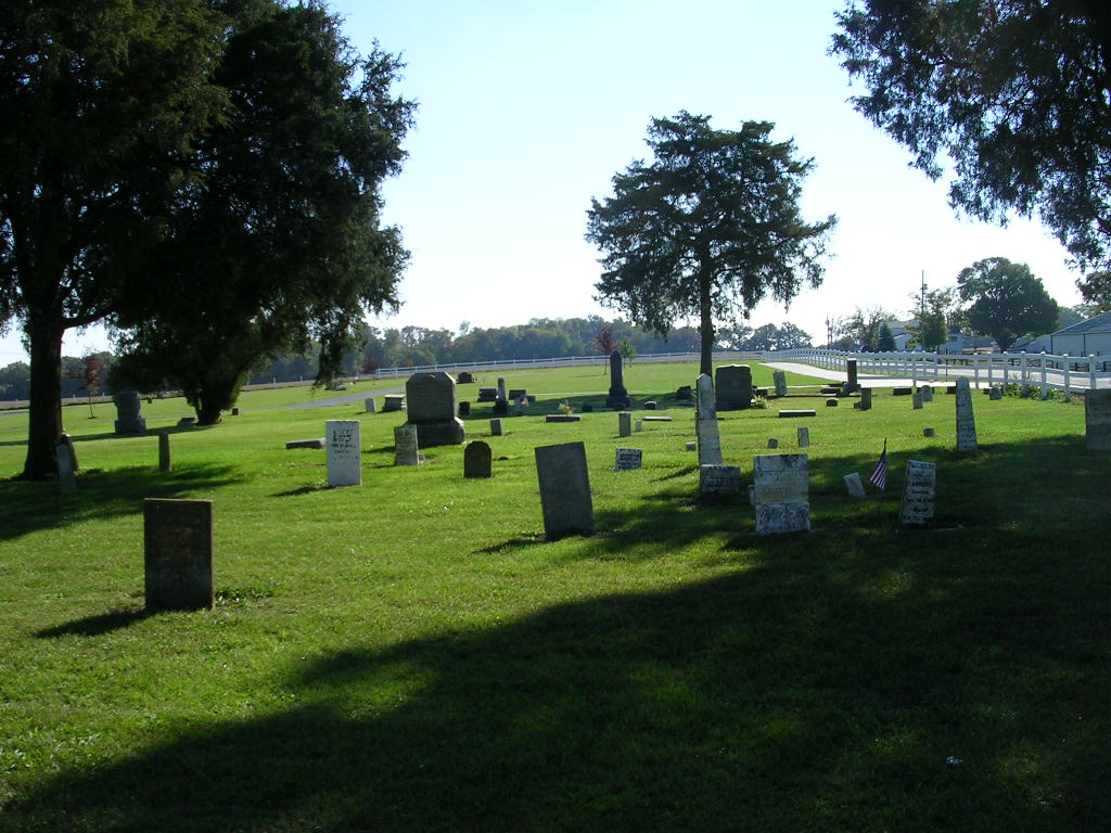
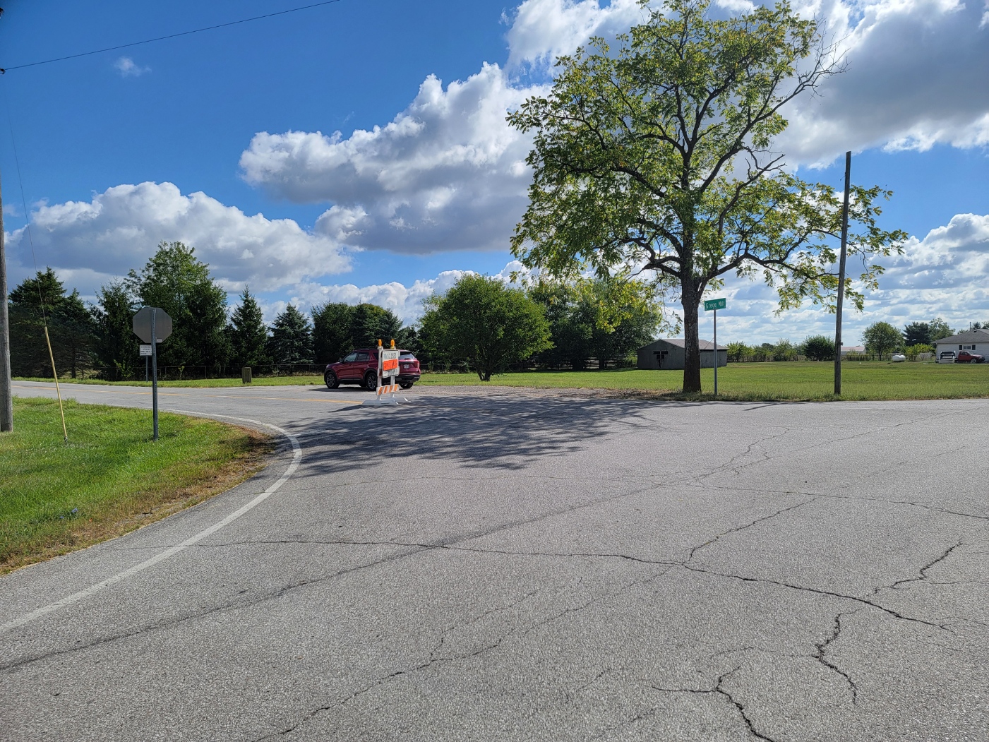
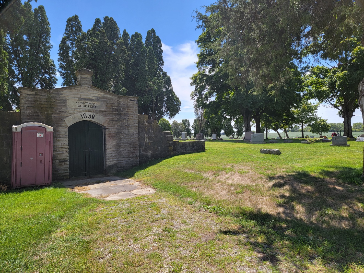
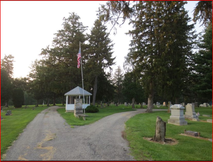
Range is an unincorporated community in Range Twp, 12.2 miles south of London, 2.9 miles east of Midway, and 10.4 miles east of South Solon (thru Midway). It’s location is between Chenoweth and Midway. A Post office was there between 1872 and 1905. Mail now comes through the London Post Office. Nothing is left now but a few houses and the nearby Range Twp Cemetery.
Resaca
ZIP Code 43140 – Coordinates: 40°02′58″N 83°23′17″W
Population was 30 in 1915.
Resaca is an unincorporated community in Monroe Twp, 13.1 miles north-northeast of London and 10.6 miles southwest of Plain City. But connecting roads are needed to get from Plain City and Reseca must be reached from several connecting roads from London. It is located at the intersection of Finley Guy Road and Woods and W Ave. Resaca was never platted but had a Post Office between 1887 and 1905. The mail is now thru the Plain City Branch. In 1915, it had two general stores, a blacksmith, a doctor, and a pool room.
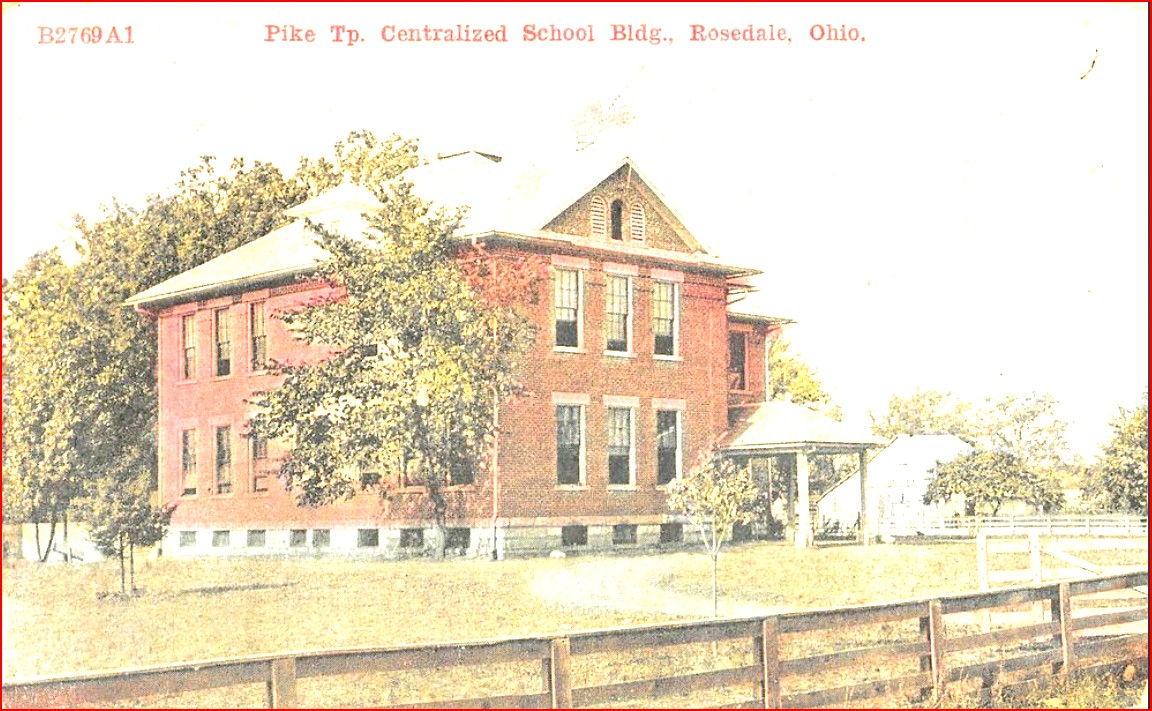
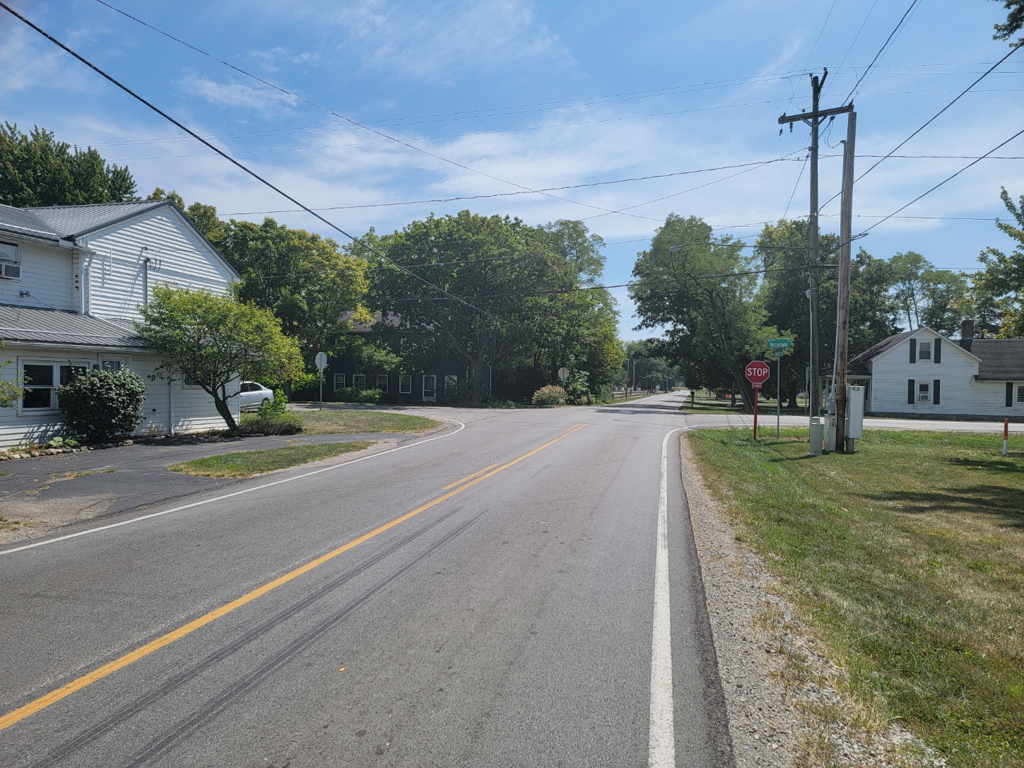
Rosedale
ZIP Code 43029 – Coordinates: 40°04′41″N 83°27′18″W Population 580
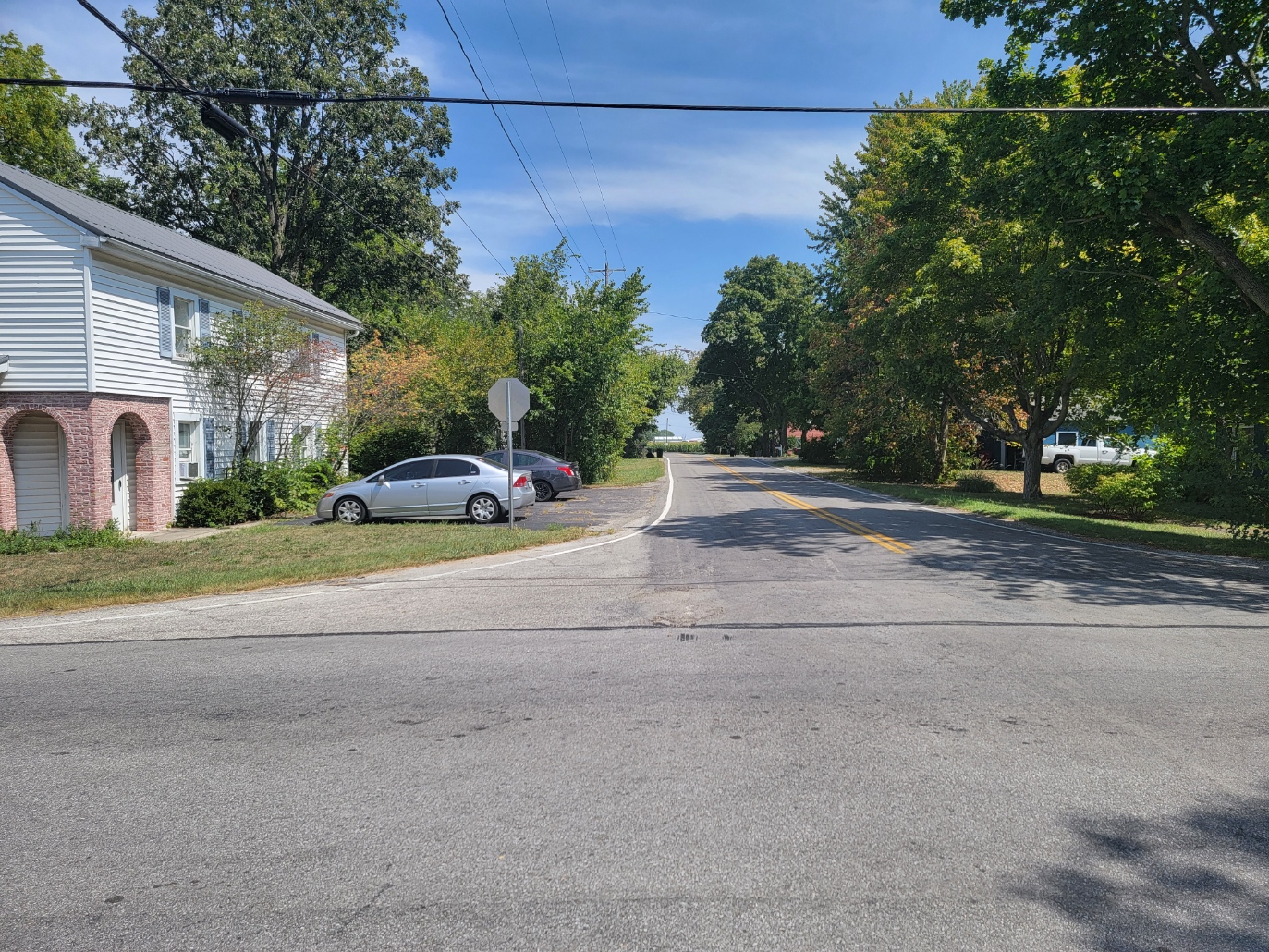
Rosedale (originally Liverpool) is an unincorporated community in Pike Twp near the northwest corner of Madison County, 14.6 miles from London. It is reached from London by traveling north from London on SR 38 North to just south of Plumwood and turning northwest on Rosedale-Milford Center Rd for 6.5 miles.
Rosedale is located between the Spring Fork and the main channel of Little Darby Creek on the western edge of the Scioto Watershed. The area was a wetland of prairie grass before field tile was laid.
Rosedale had a post office between 1830 and 1901. It now receives mail from the Mechanicsburg Post Office in Champaign County. Rosedale began as the 1300-acre Rosedale Farms owned by Captain Andrews named after the Post Office. Captain Andrews was also the Post Master. He had a store at the intersection of Rosedale and Milford-Center Roads. Darius Burnham started an adjacent community in 1836 named Liverpool.
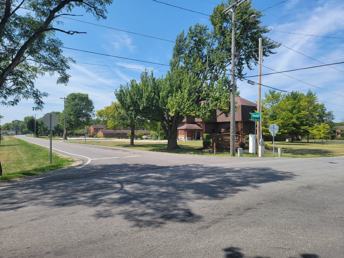
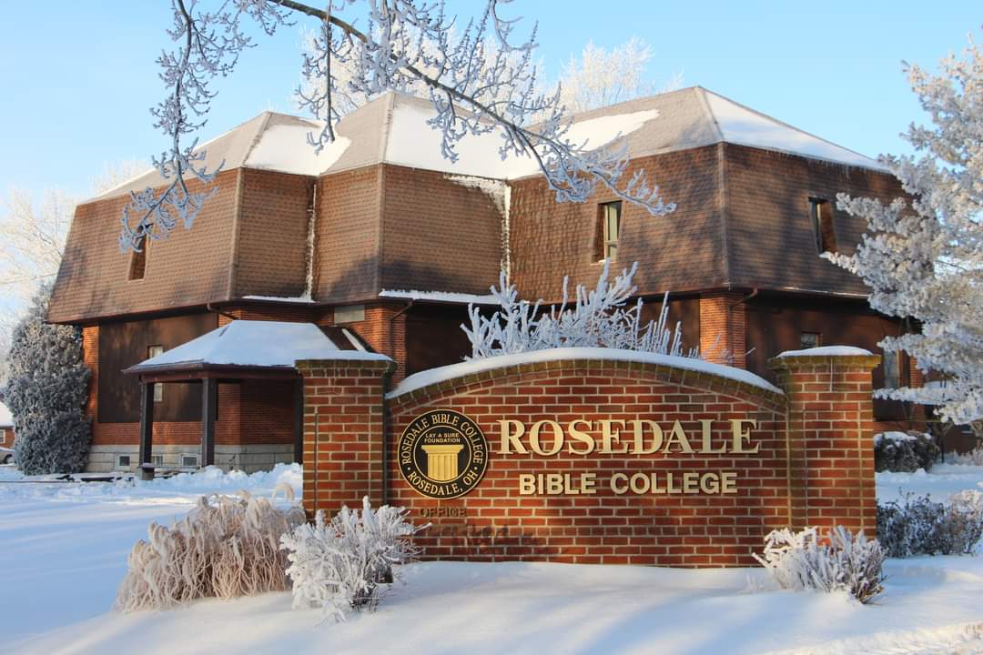
The Rosedale Post Office was then moved into Liverpool, changing the name from Liverpool to Rosedale. The Pike Twp high school was built in 1905 at the current site of Rosedale Bible College. In 1915, there was a general store; and a blacksmith.
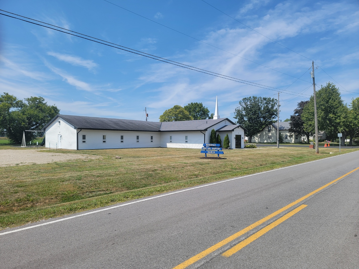
In 1964, the Conservative Mennonite Bible School (a bible college) purchased the former high school building and moved to Rosedale from Berlin, Ohio. It was then renamed to the Rosedale Bible College. The Conservative Mennonite Conference moved to Rosedale in the 1960s and changed the name to the Rosedale Network of Churches. Rosedale also contains the Free Will Baptist Church.
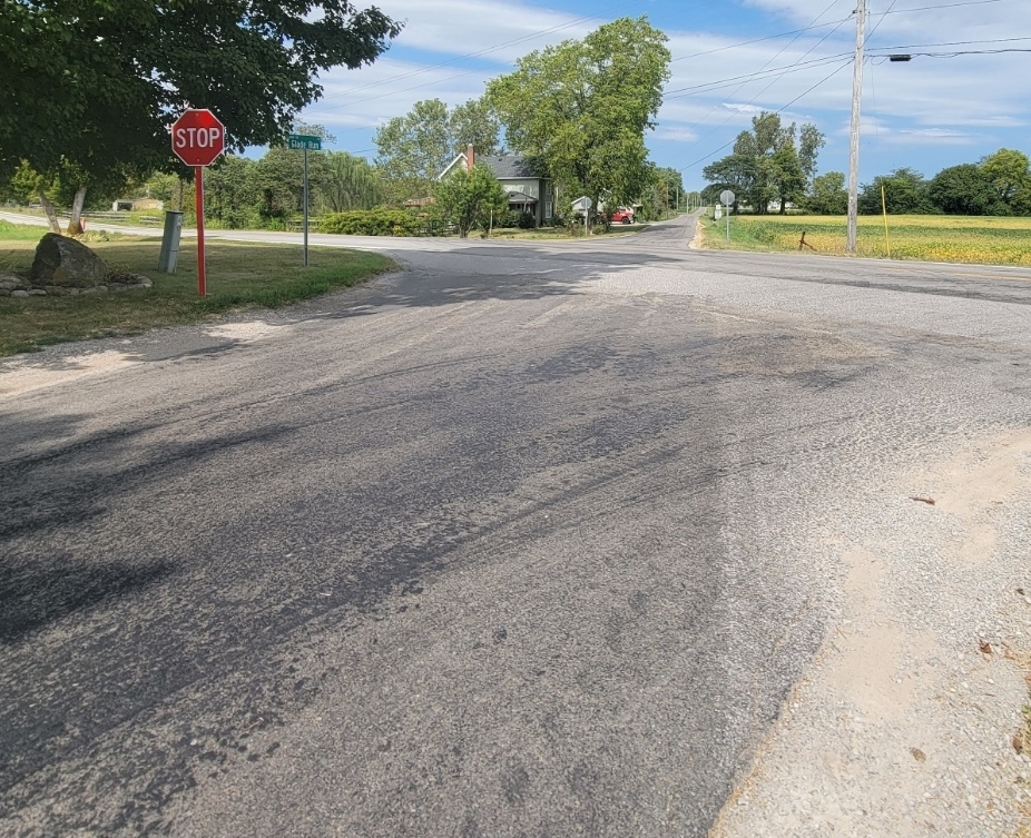
Rupert
ZIP Code 43140 – Coordinates: 39°52′57″N 83°21′12″W
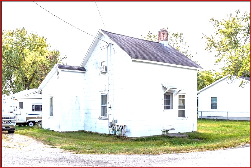
Rupert is an unincorporated community in Union Twp. It is located at the intersection of SR 665 and Glade Run, 4.9 miles east of London. It is 7.4 miles southwest of West Jefferson via connecting roads. There is no evidence of a town. There are two houses on Glade Run to the north, two houses on Glade Run to the south, and one house west on SR 665. I interviewed the current residents and no one had even heard of Rupert!
The Rupert Post Office was established in 1894 and discontinued in 1901. Mail service is now through the London Post Office. In 1915, Rupert had a general store, a blacksmith and a few houses.
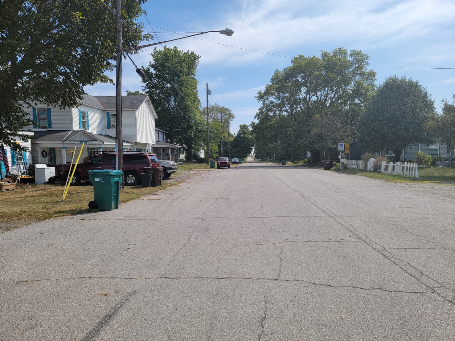
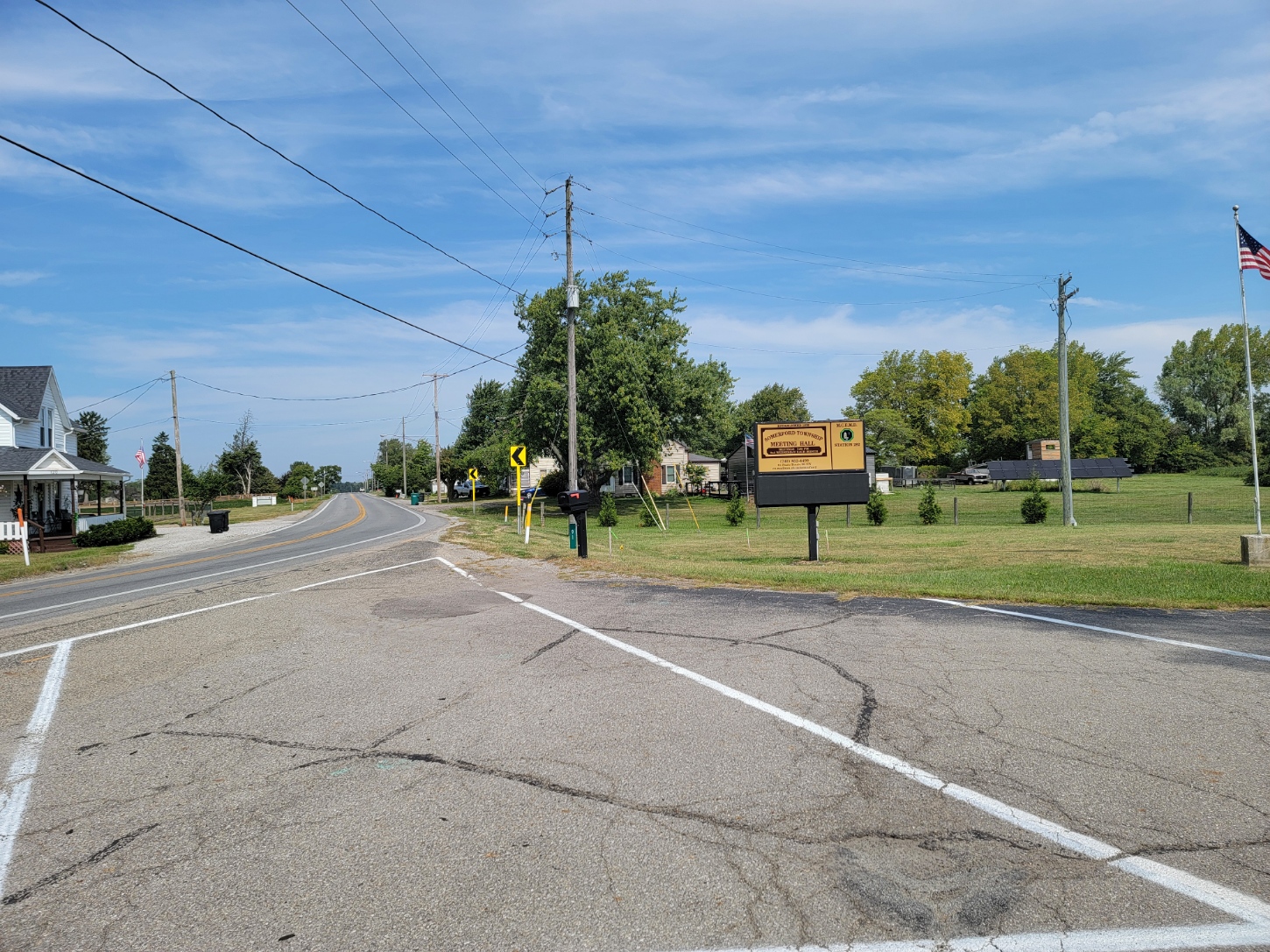
Summerford

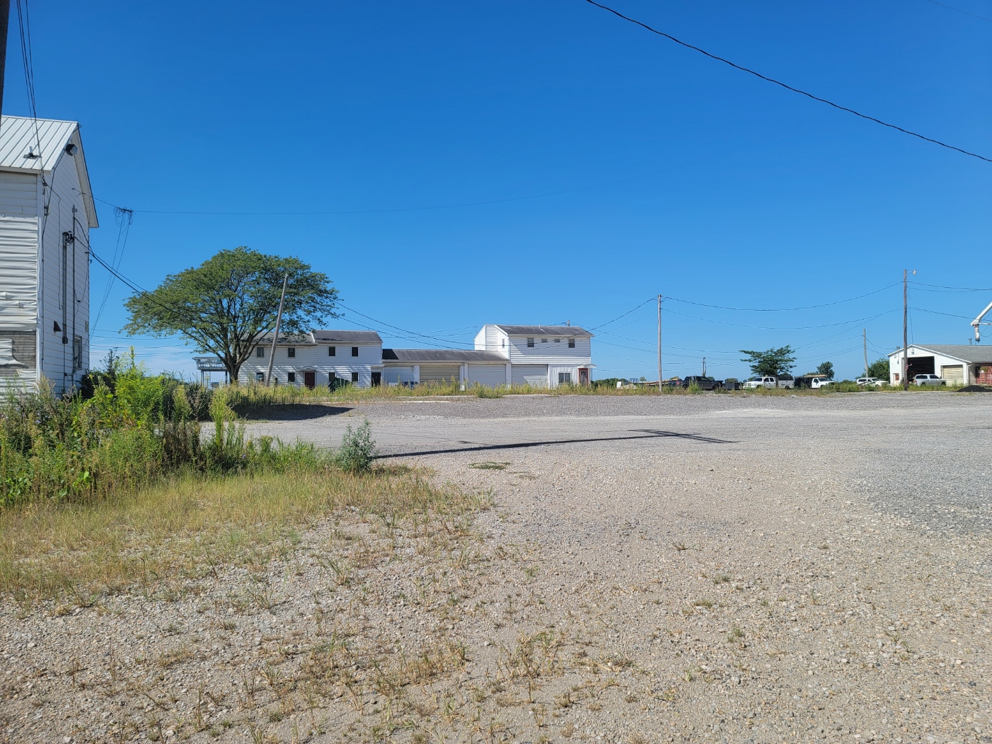
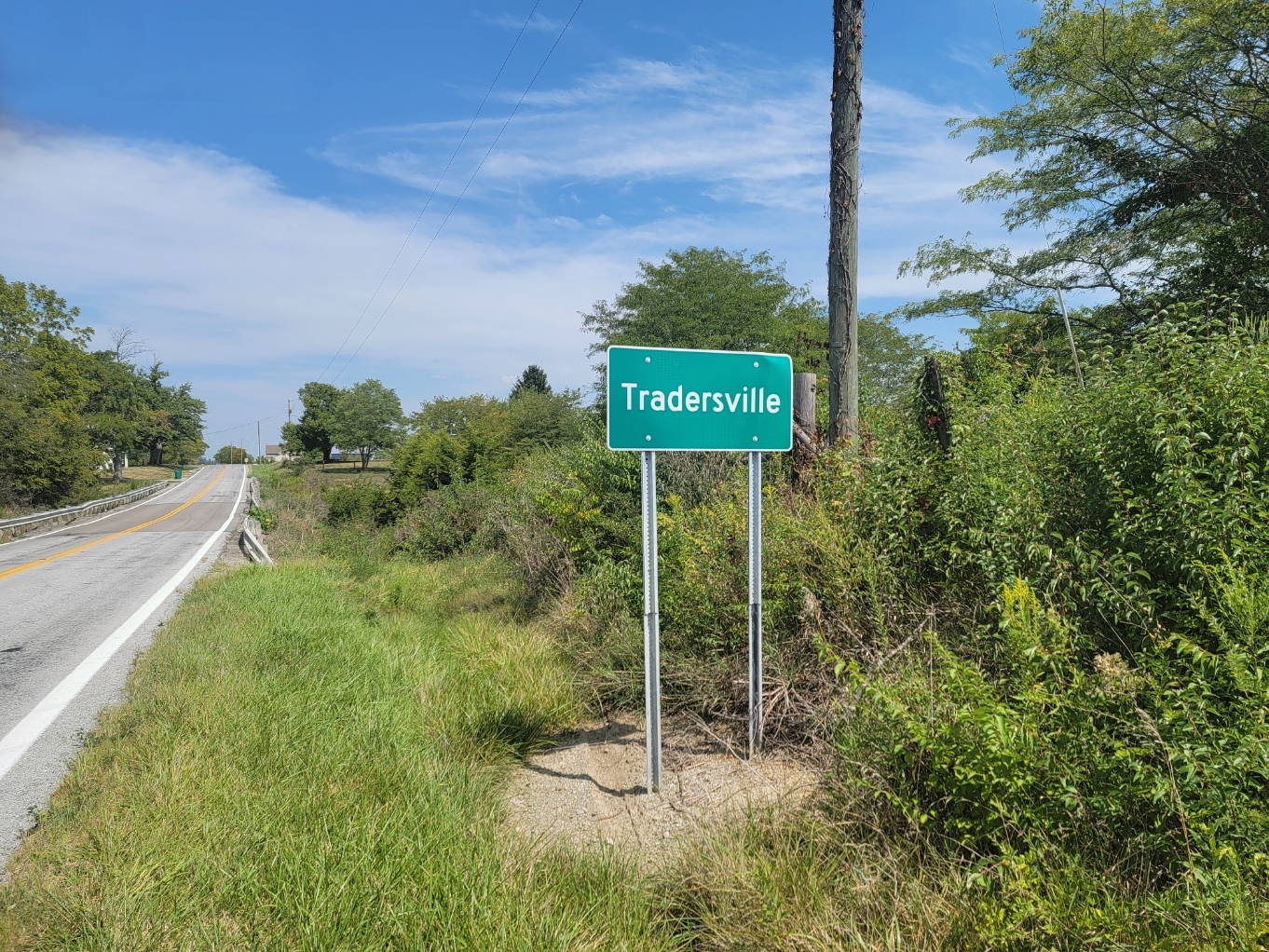
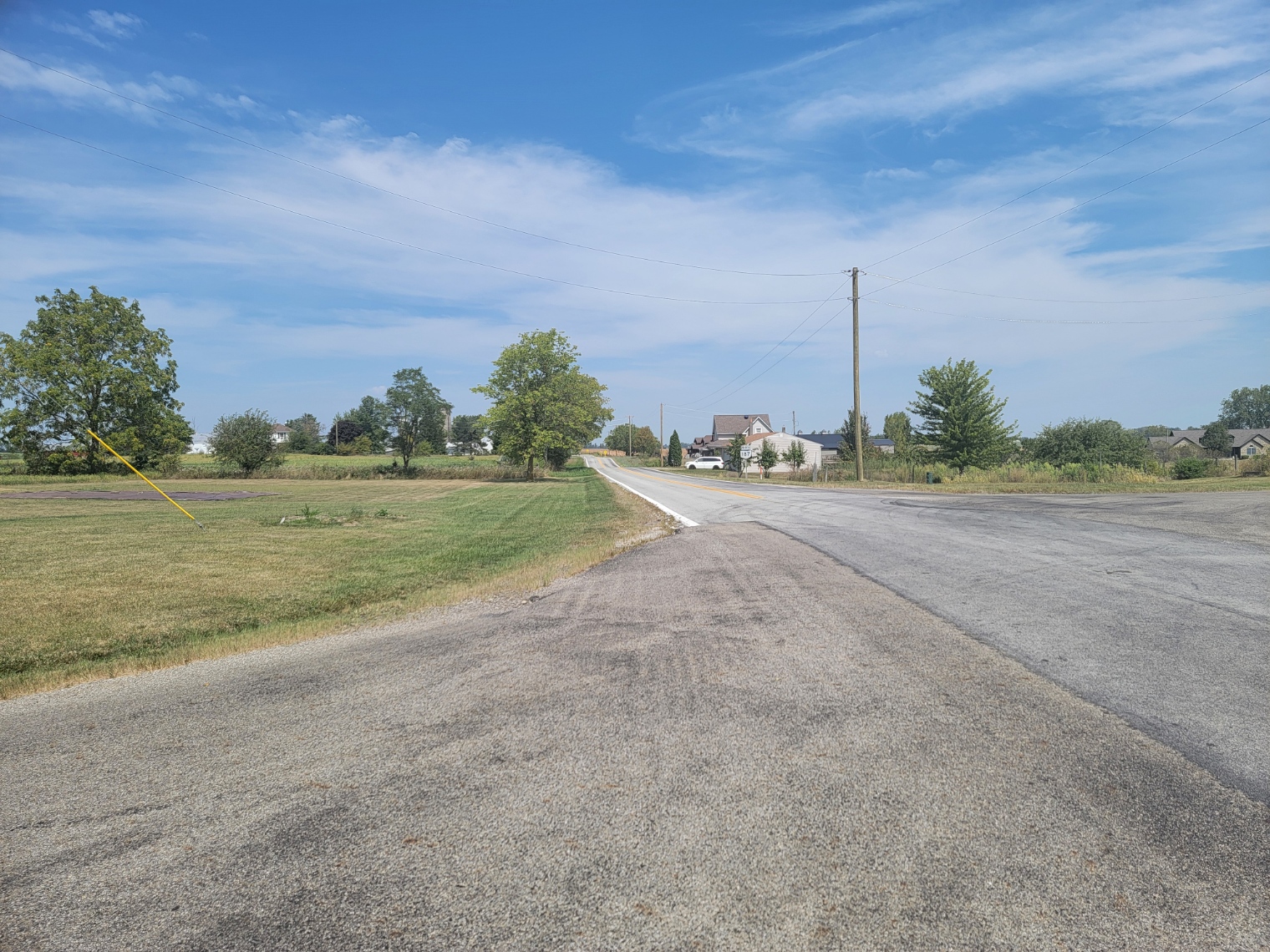
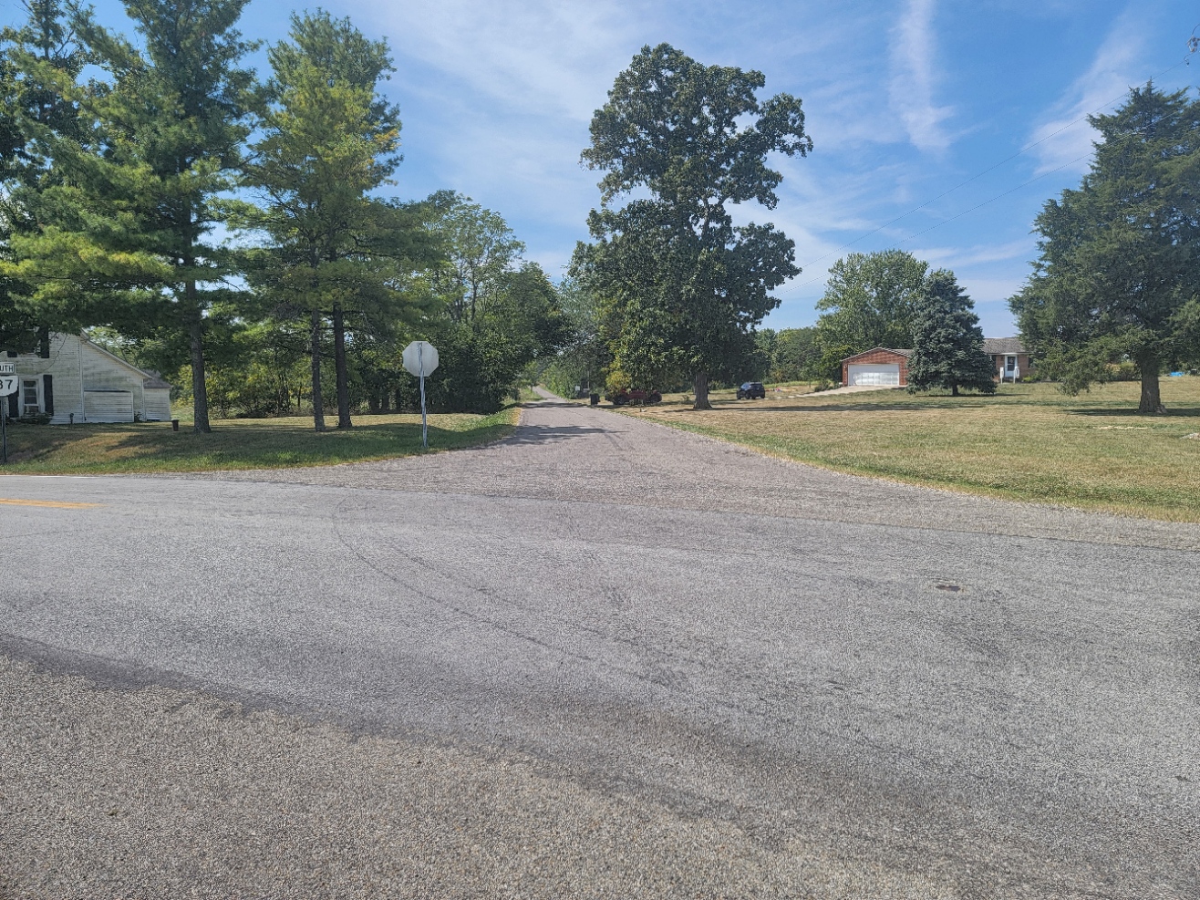
Tradersville
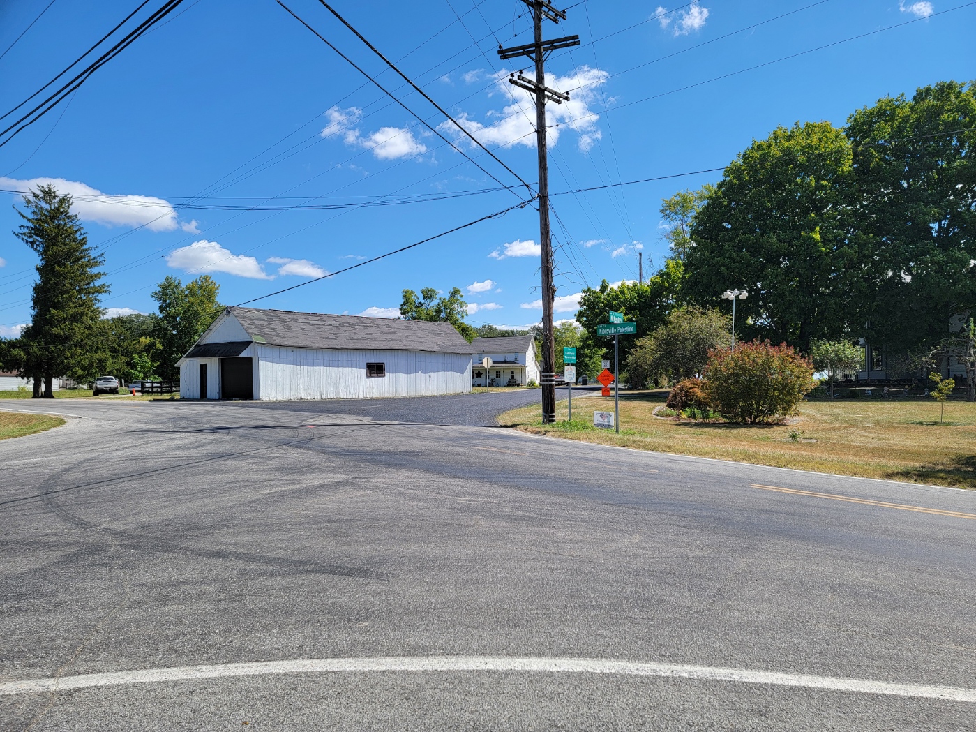
Wrightsville
ZIP Code 43123 Coordinates: 39°51′40″N 83°14′
Wrightsville is an unincorporated community in Fairfield Twp, located 10.7 miles southeast of London on SR 665, 8.6 miles south of West Jefferson, 3.5 miles south of Lilly Chapel, and four miles north of Kiousville on the Franklin County line. At Wrightsville, SR 665 becomes London-Groveport Road. Many maps mistakenly show Wrightsville as being in Franklin County. The Wrightsville Post Office existed from 1888 to 1901. Mail today is from the Georgesville Post Office.