ZIP Code 43140 – Coordinates: 39°53′15″N 83°26′32″W
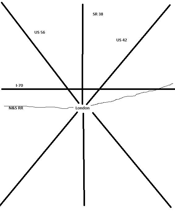
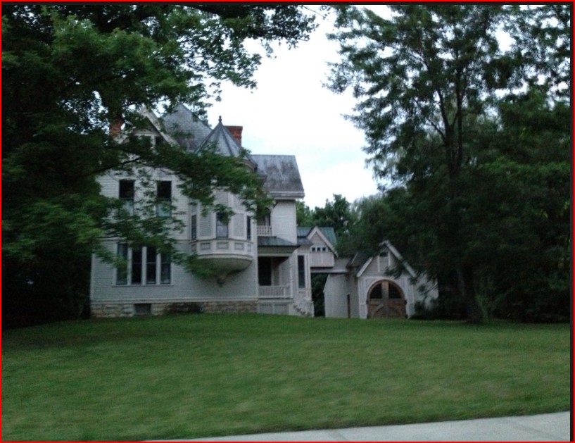
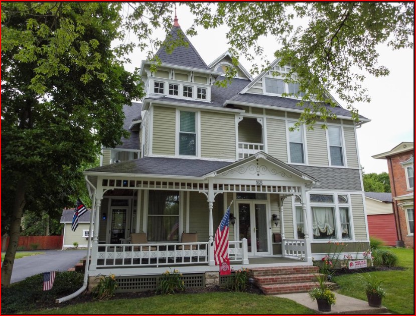
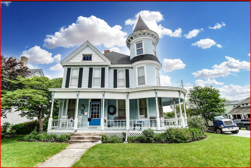
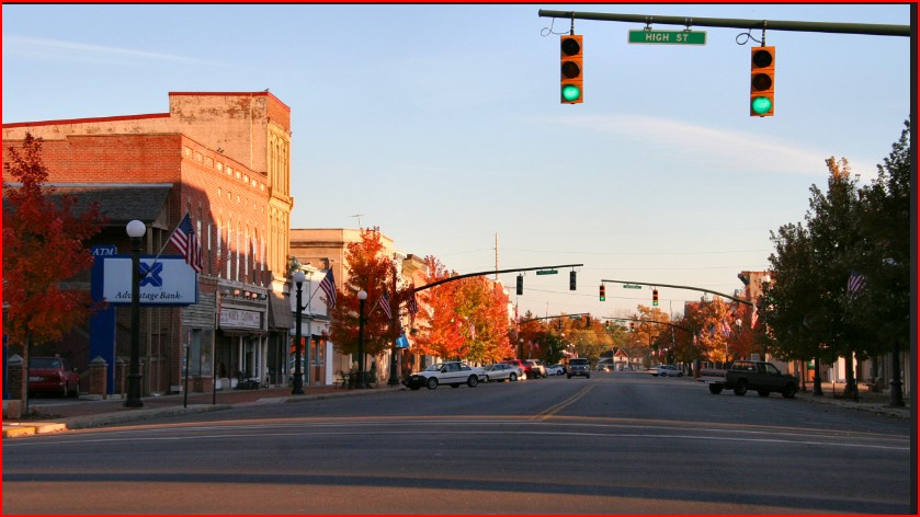
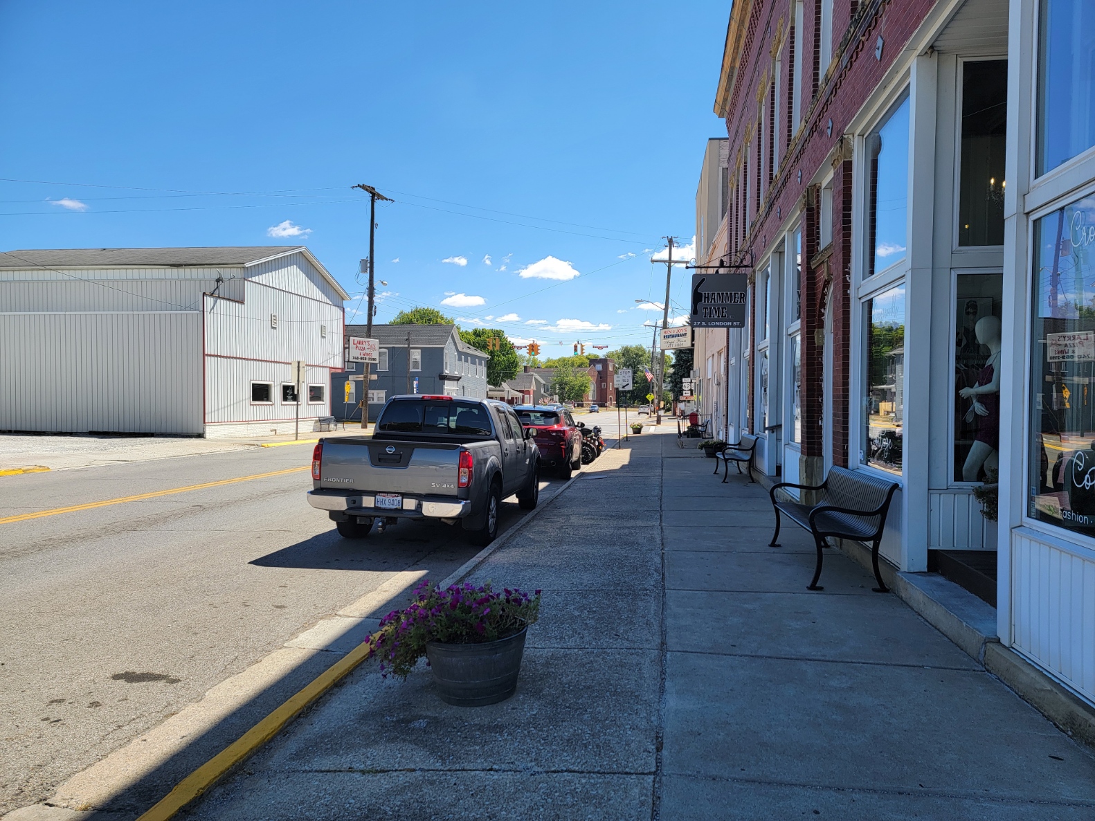
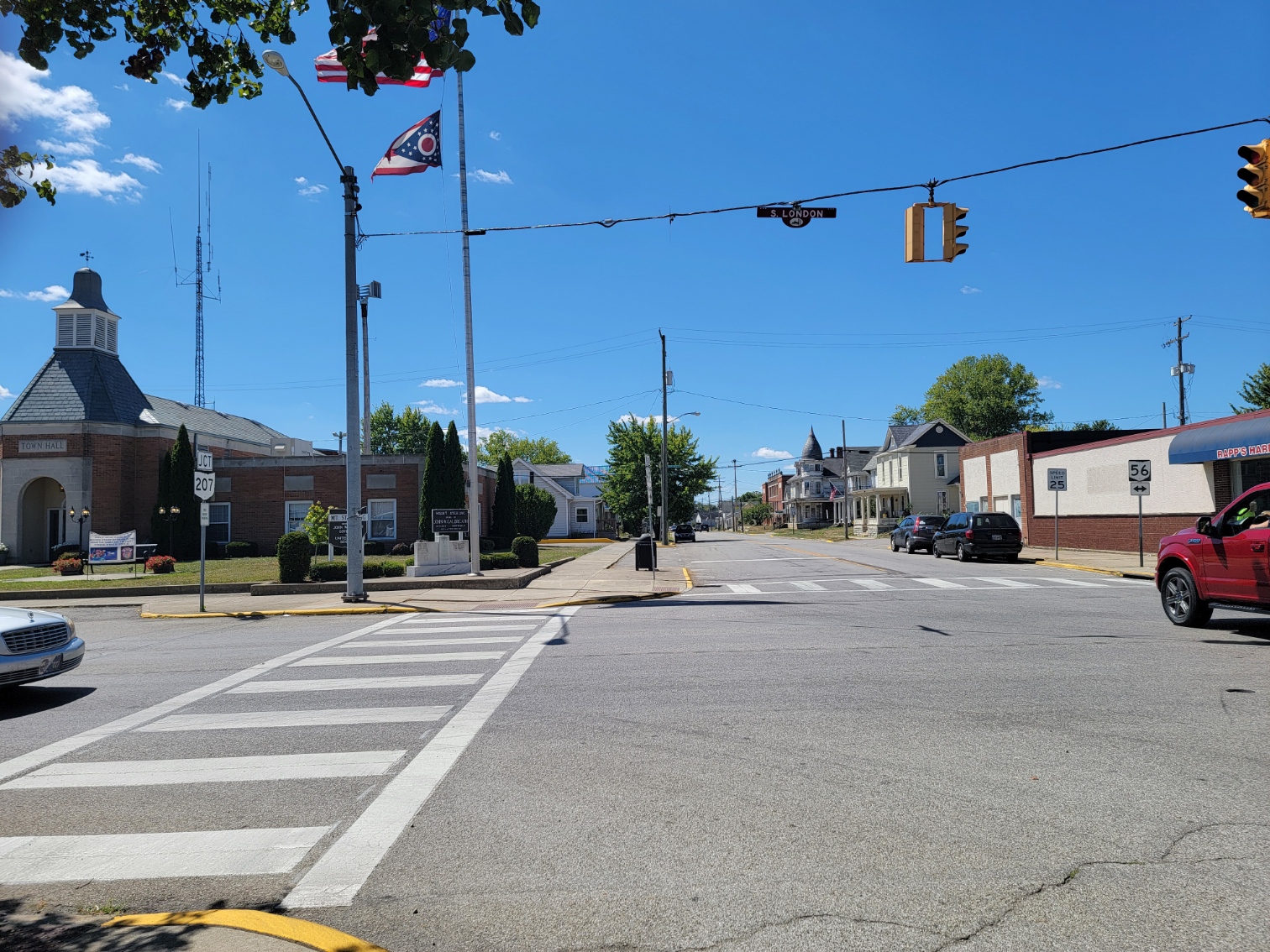
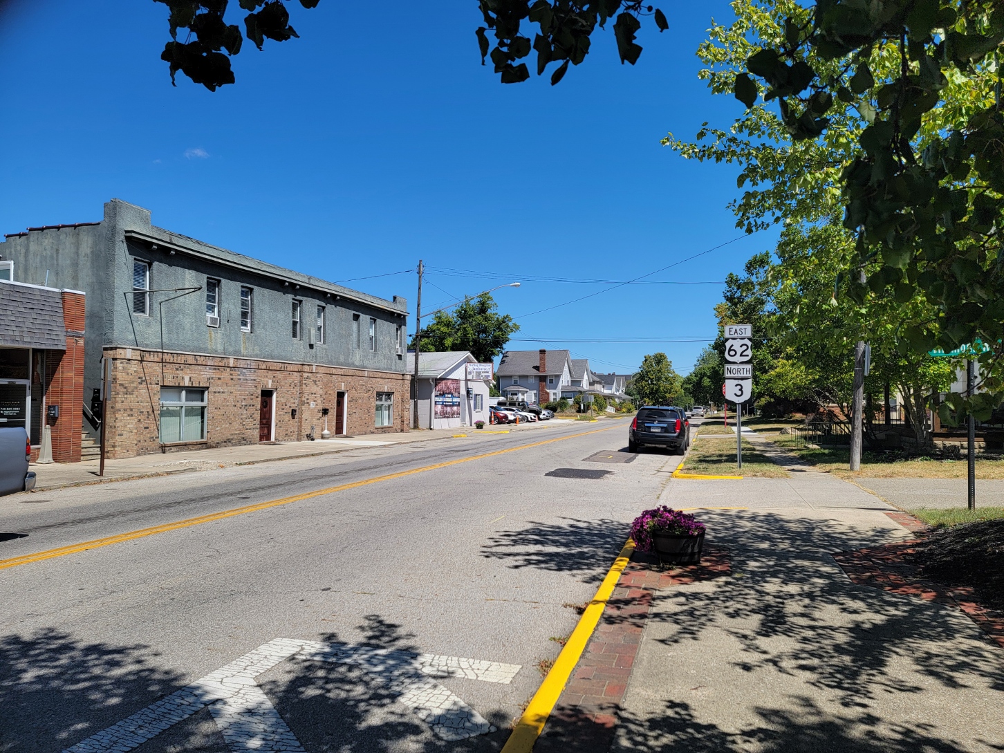
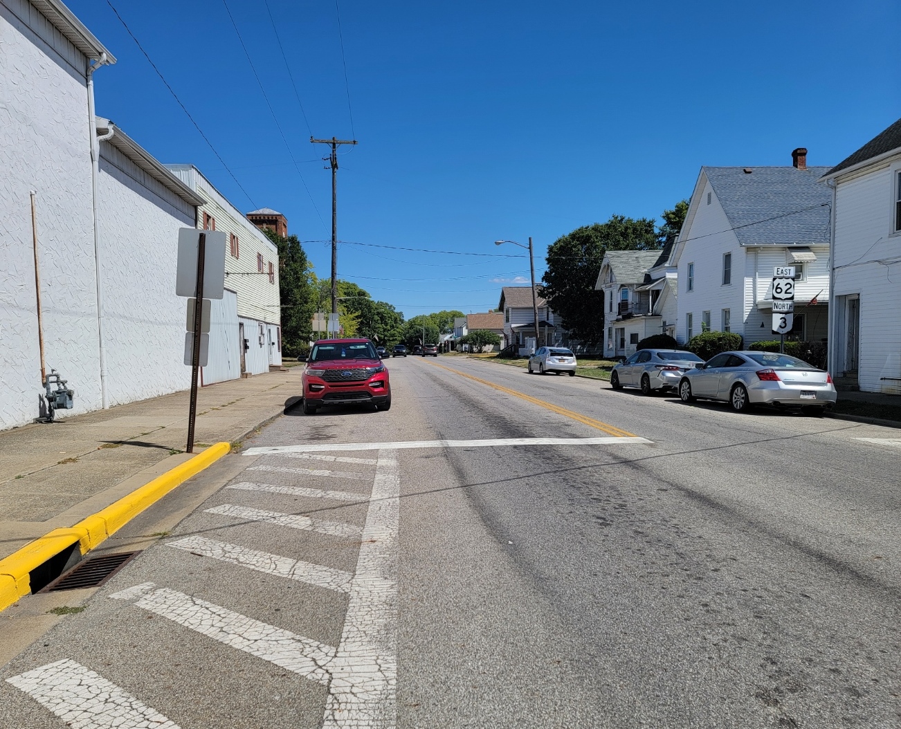
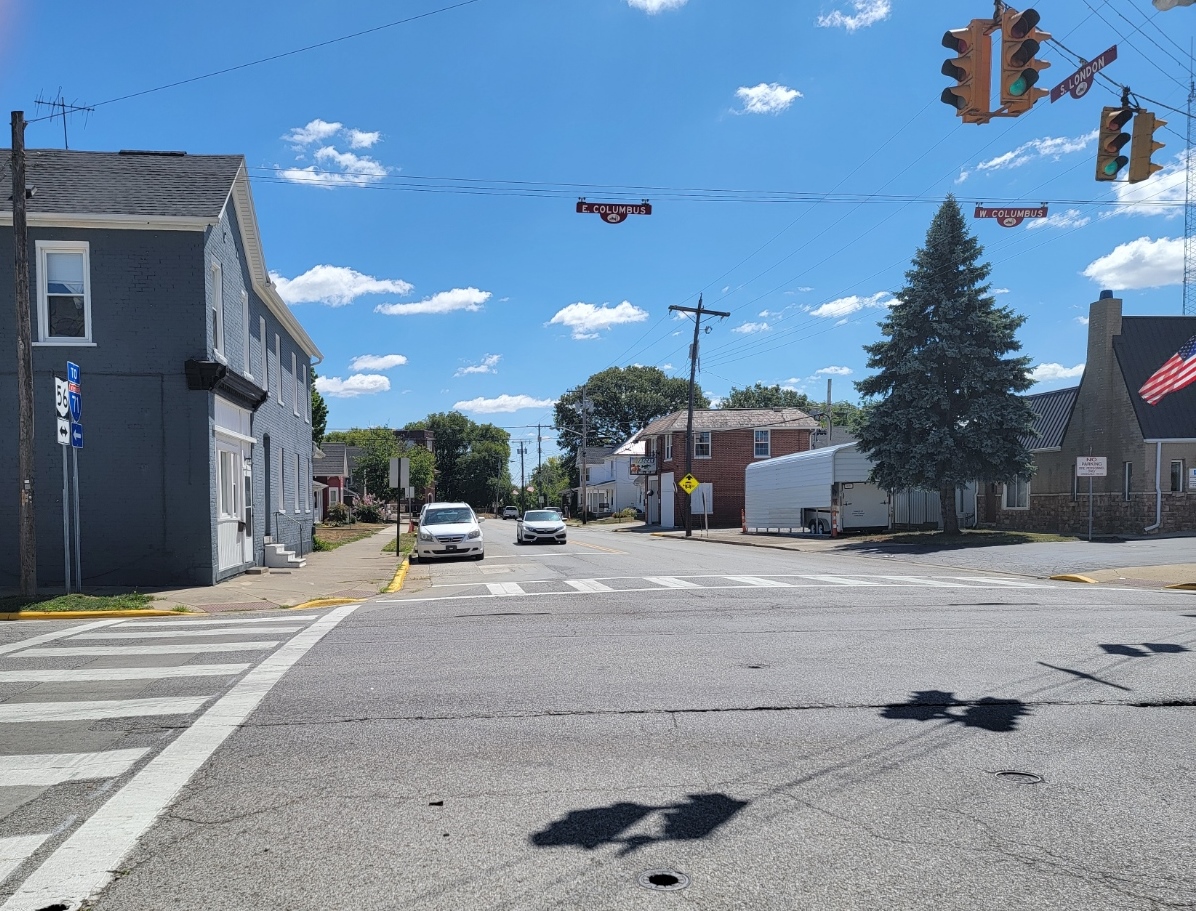
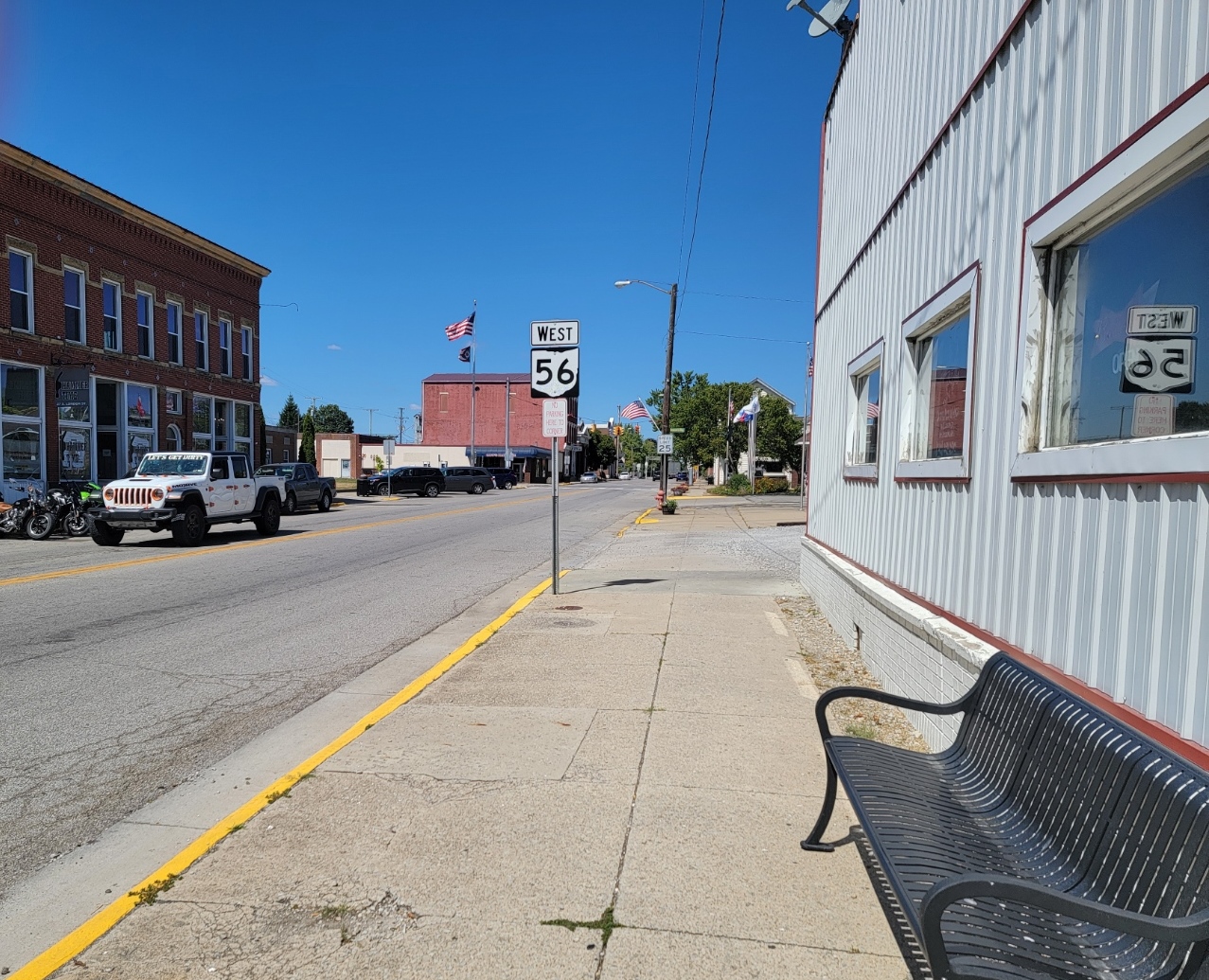
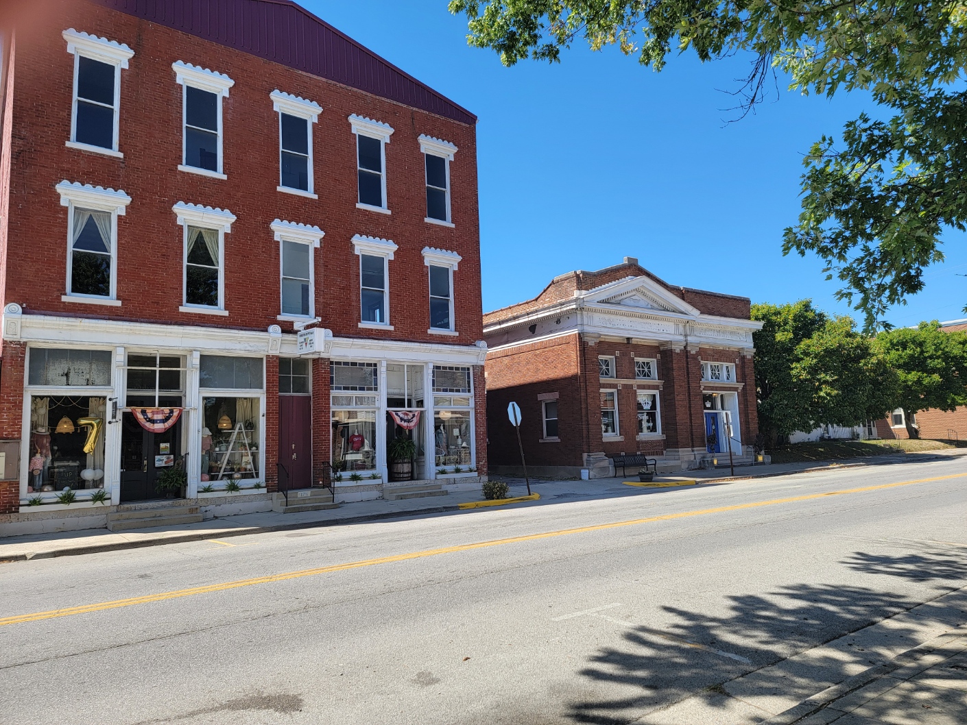
London is a city and the county seat of Madison County. It is located about 25 miles southwest of the Ohio Capital Columbus. It was established in 1811 to serve as the county seat. London and Madison County were served by a daily newspaper, the Madison Press until 1919. It now has a weekly newspaper, the Madison Messenger also located in London. It does have an online newspaper, the Madison County Spotlight. There is a local Christian Radio Station, Ready FM WCYC-LP, 105.1 FM which operates out of the old armory, across from St. Patrick Church,
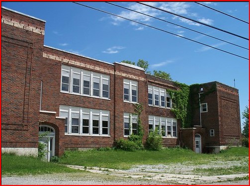
The Public School System is the London City School District, grades Kindergarten through high school, which operates out of three adjacent buildings. The sports programs are the London Red Raiders, School Colors are Red and White.
There is a private Catholic School run by St Patrick Church, for grades preschool through 8th Grade.
Fairhaven Early Learning Academy is licensed for preschool programs, including speech and language Pathology, and Occupational and Physical Therapy. Classes for preschool children are offered both morning and afternoon, Monday through Thursday as regular preschool and special education preschool.
In 2012, The high school, the water tower, and the fire department were featured in a Nike commercial promoting the 2012 Summer Olympics. (to be added)
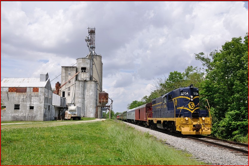
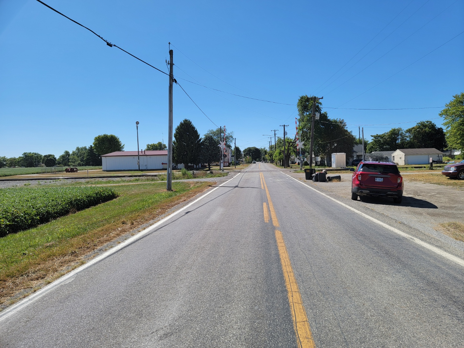
The Norfolk and Southern Railroad runs through London. At one time, the Little Miami Columbus & Xenia RR, and the Columbus Springfield & Cincinnati RR also ran through London.
Law Enforcement - Prisons, BCI, Academies, Crime (First Responder Chapter).
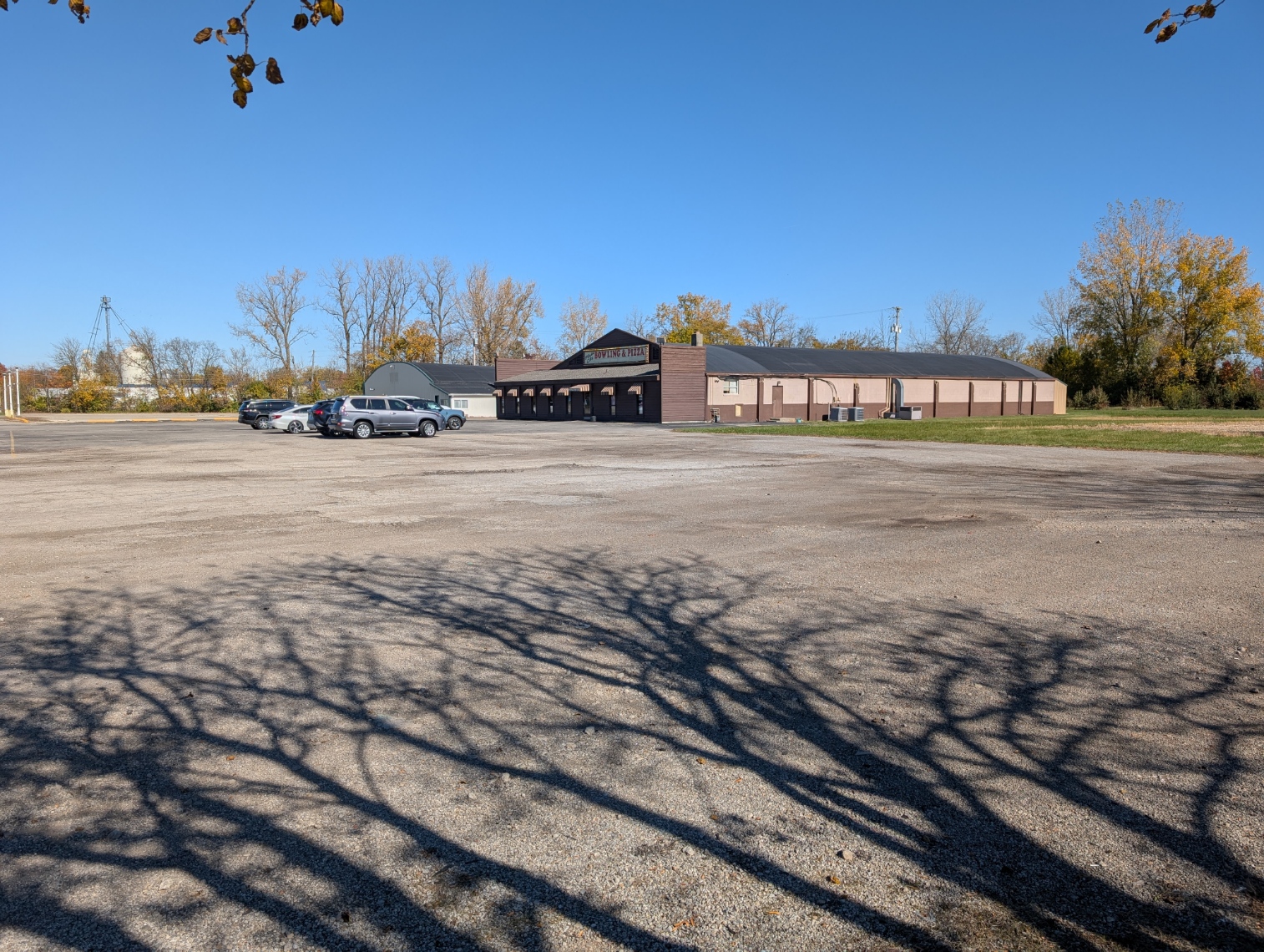
Hardware, Printing, Paint Store, Farm Equipment, Auto Sales, Walmart, Kroger, Bob Evans, M&M, Pizza, Mexican, Chinese, Steak, Fast Food, Bars, Movie Theater, Truck Stop, Food Pantry, Post office. Businesses, Insurance, Investments, Games, Clothing, and Appliances.
Medical, Hospitals. Intervention, Addiction (drug problems).
City Sports - soccer.
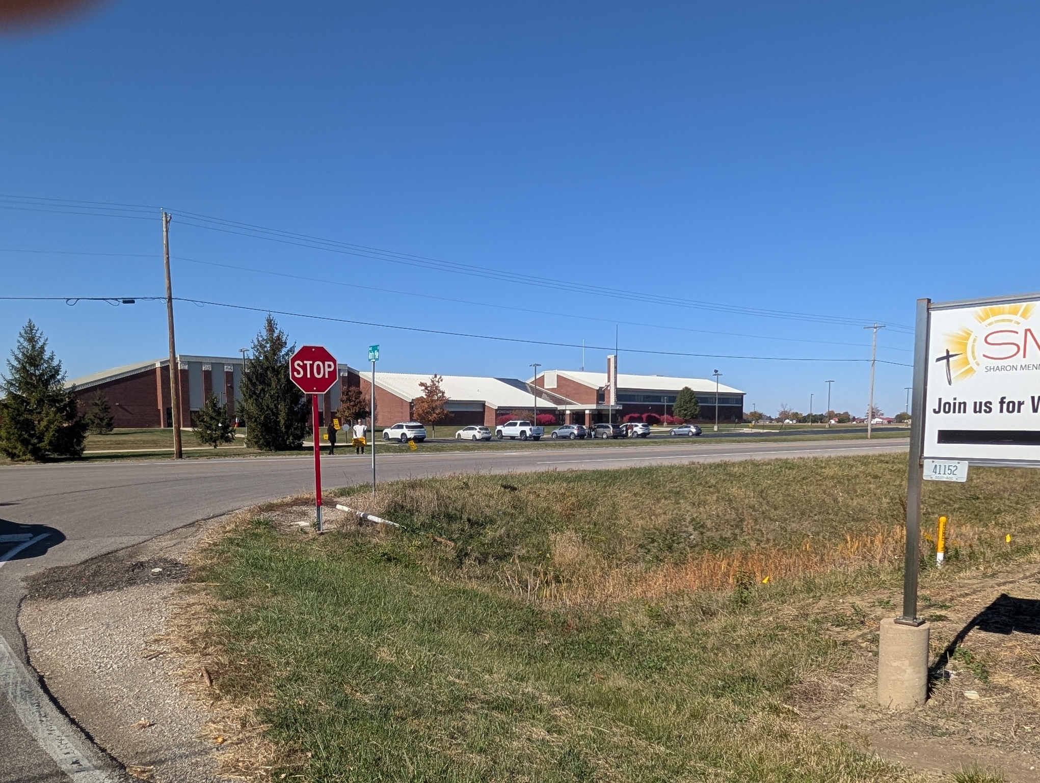
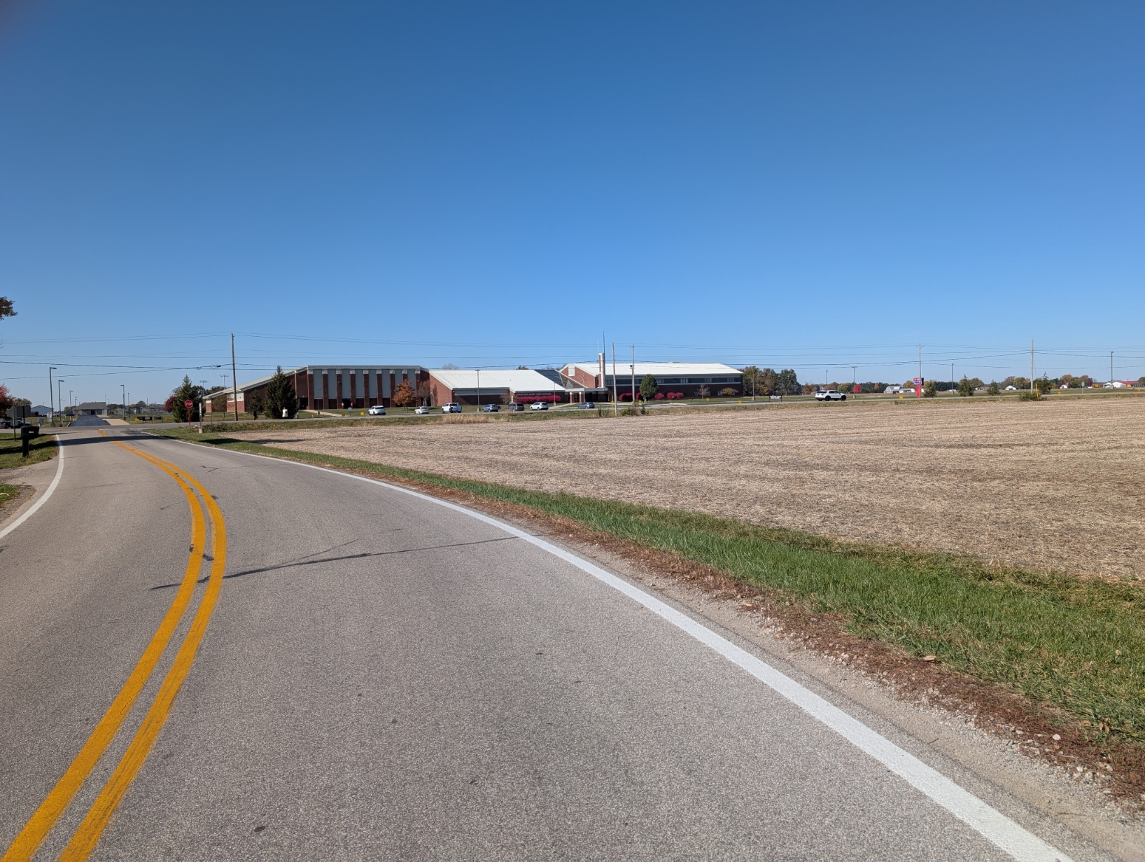
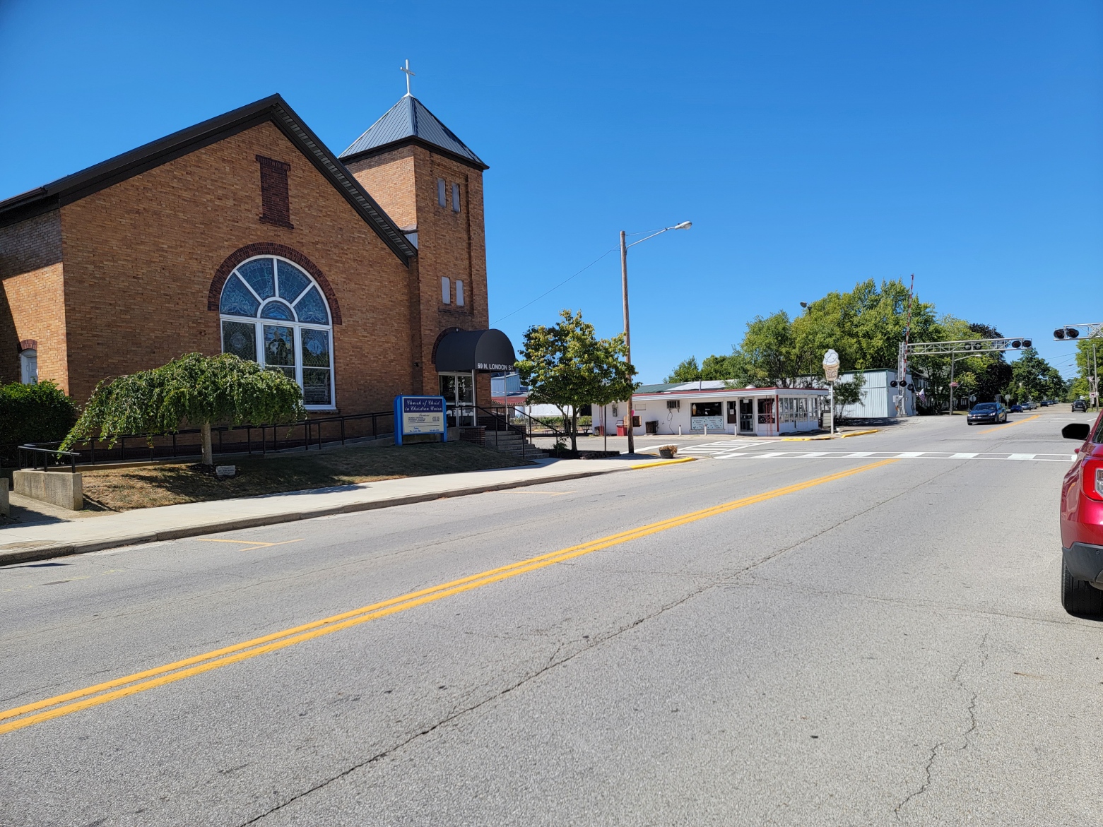
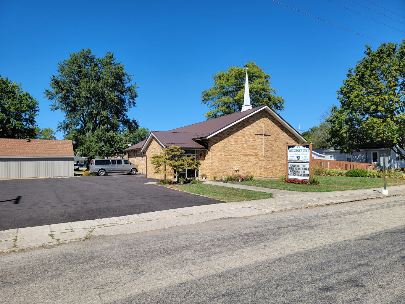
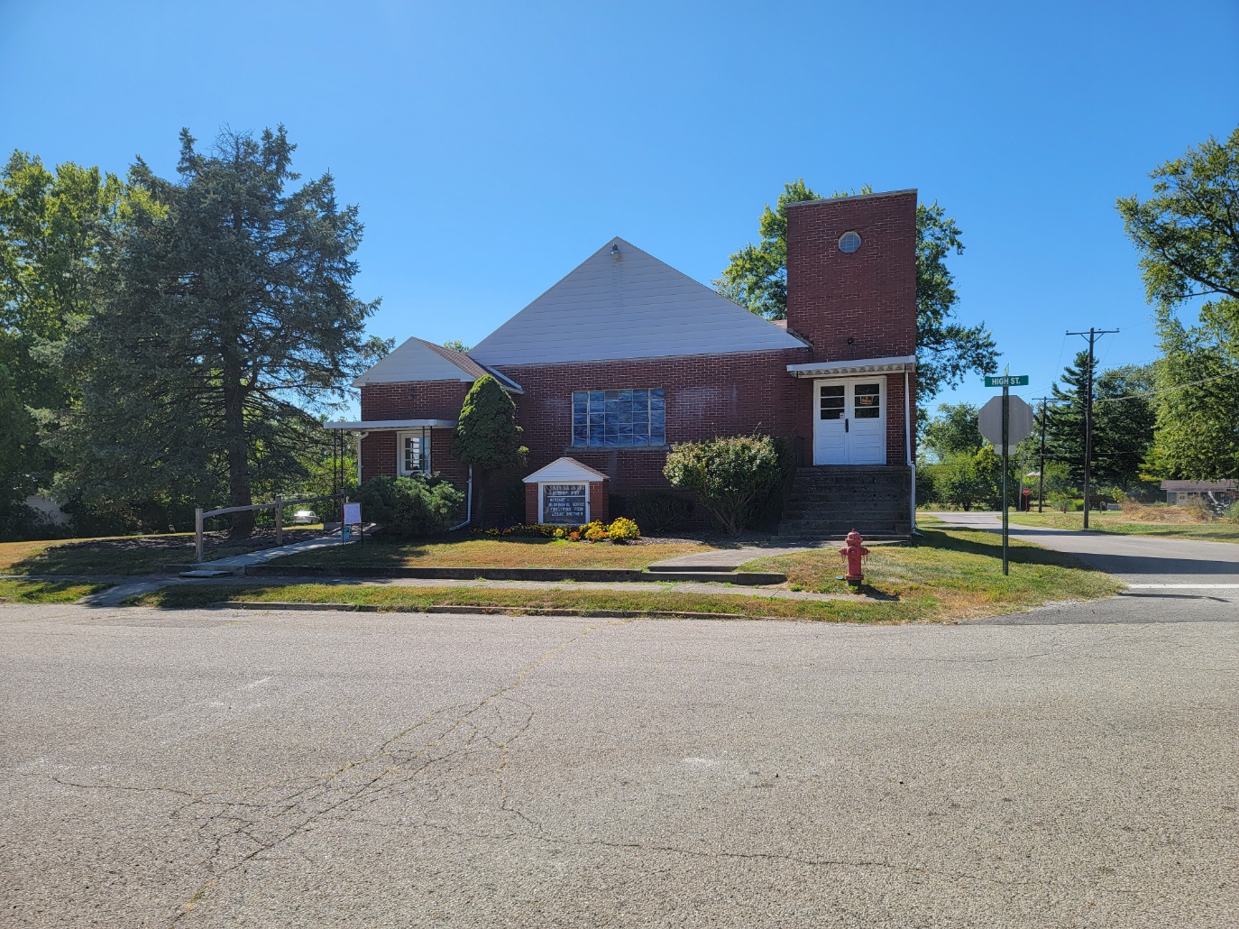
Churches.
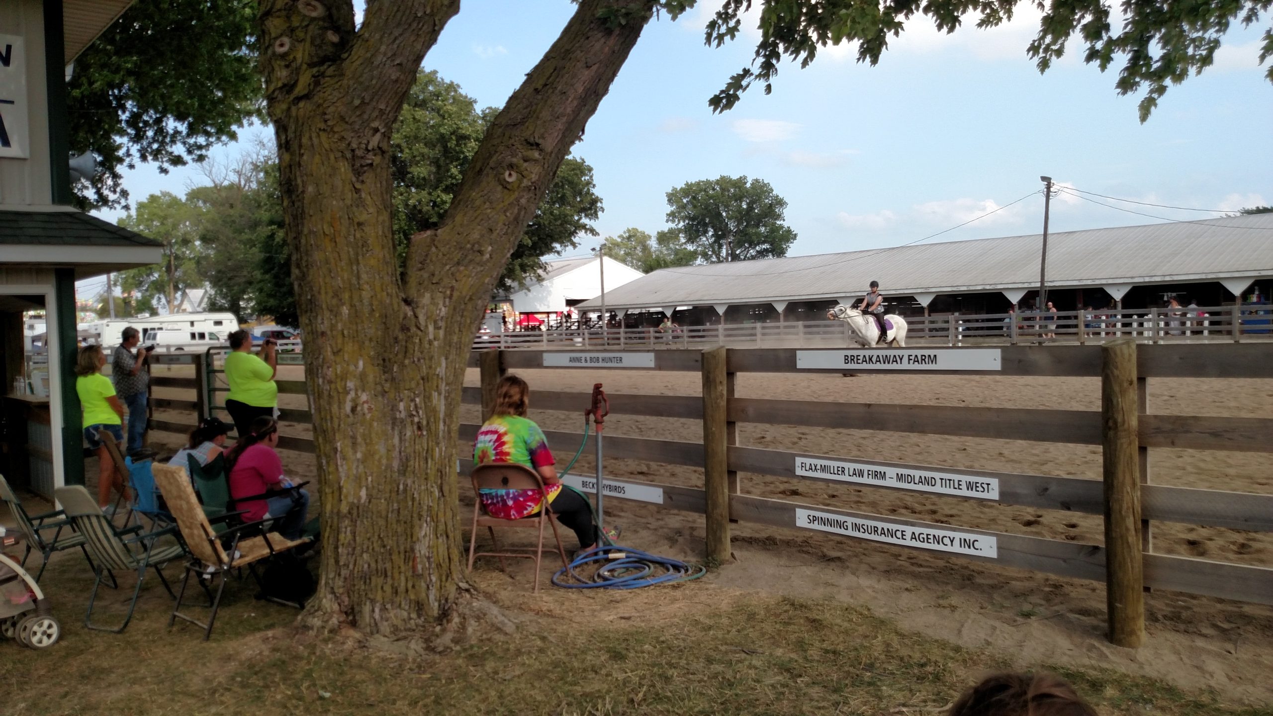
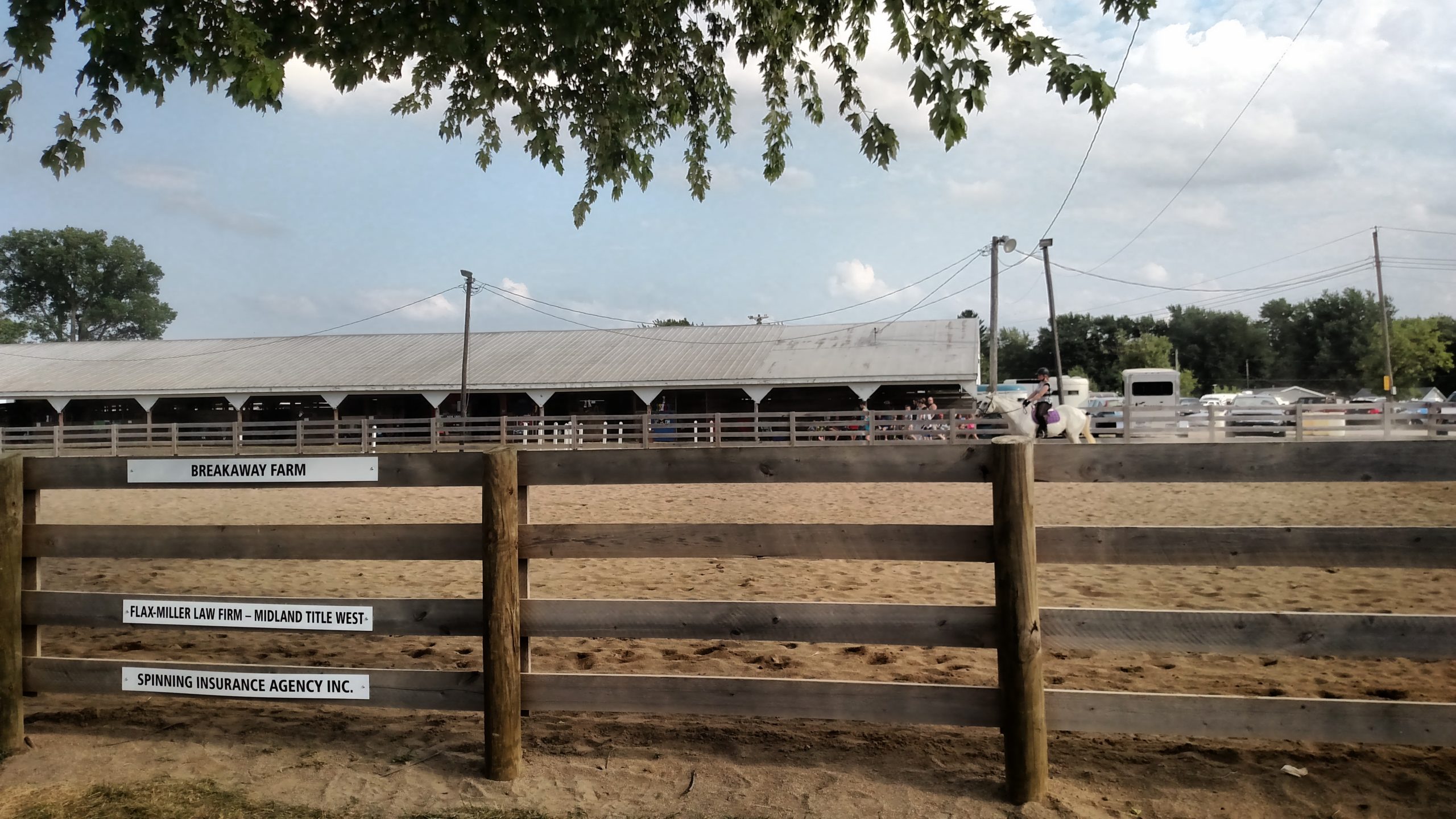
Parks, Fairgrounds, County Fair (Events Chapter)
Veterans organizations.
County Offices and FAcilities (Statistics and Government).
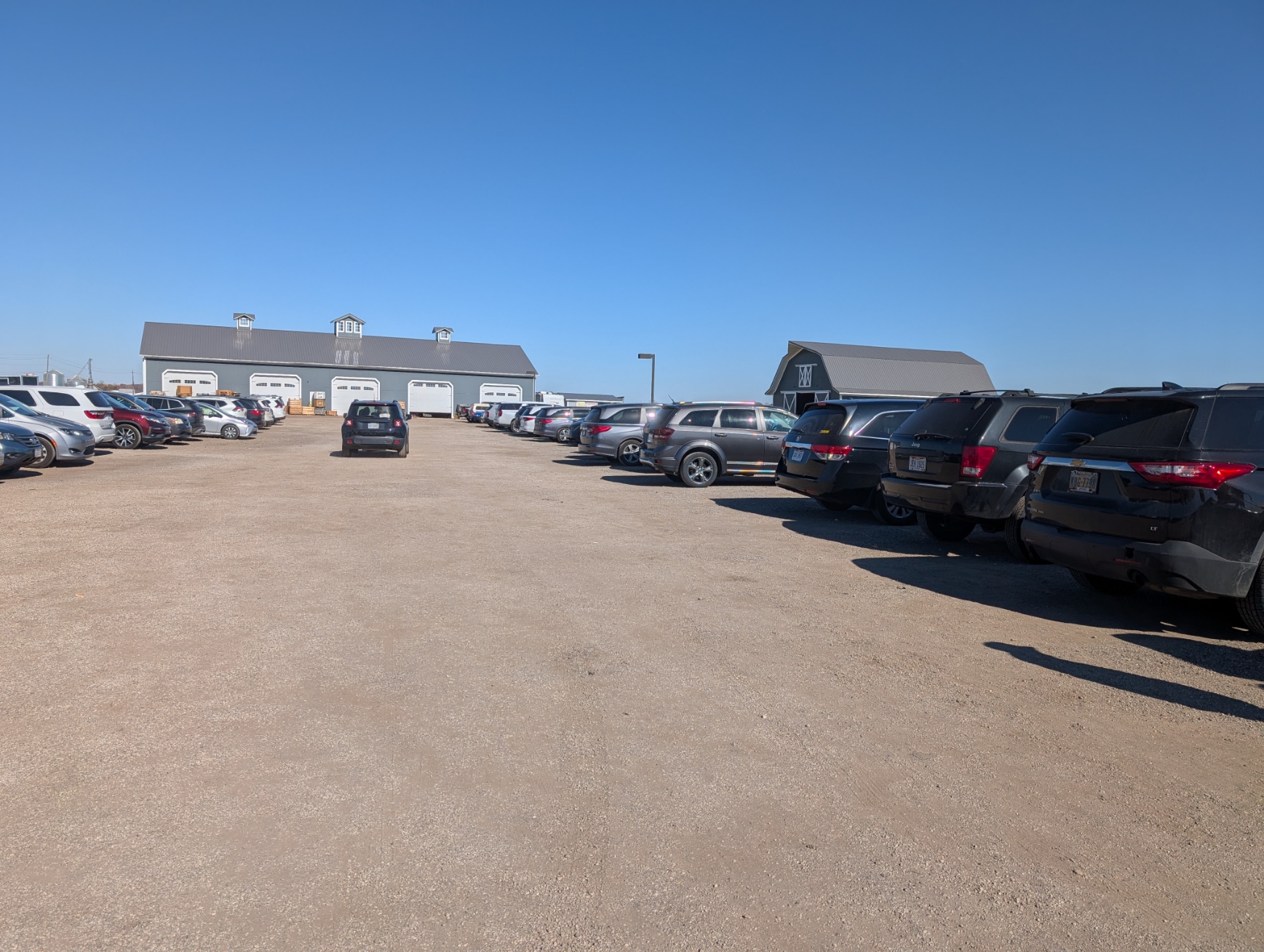
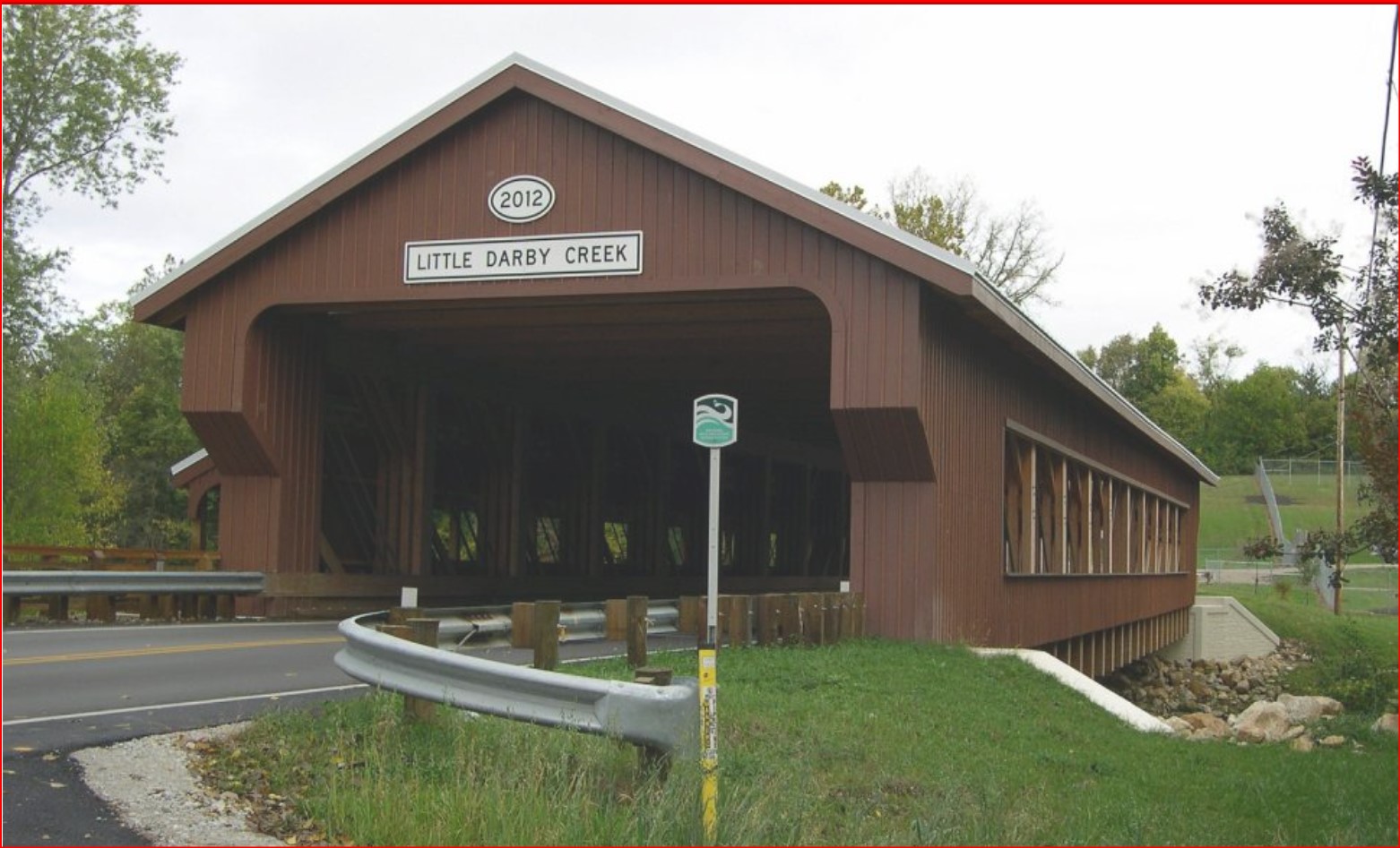
Plain City is a village in Madison and Union counties along Big Darby Creek. It is a growing community as the area to the east keeps growing commercially. This growth began around the time of the opening of Costco and the building of an adjacent mall in Franklin County about 3 miles to the east. MI Homes has built numerous homes just northeast of the village in Union County.
Route 161 runs east-west through the village and is the county line. Everything north of Route 161 is in Union County. Originally all of Plain City was in Madison County, When Union County was formed in 1820, citizens of Plain City found themselves with two county seats, one in London and one in Marysville that had just been formed in 1819. The Plain City Police Department serves the entire community, in both counties. The Union and Madison Sheriffs serve according to the county boundaries.
At one time the Columbus Piqua & Indiana RR ran through Plain City. East of Plain City the CSX RR runs through Kileville crossing Route 161 at a dangerous crossing, badly in need of repair.
ZIP Code 43064
Population 4,330 (2022)
Area Code 614
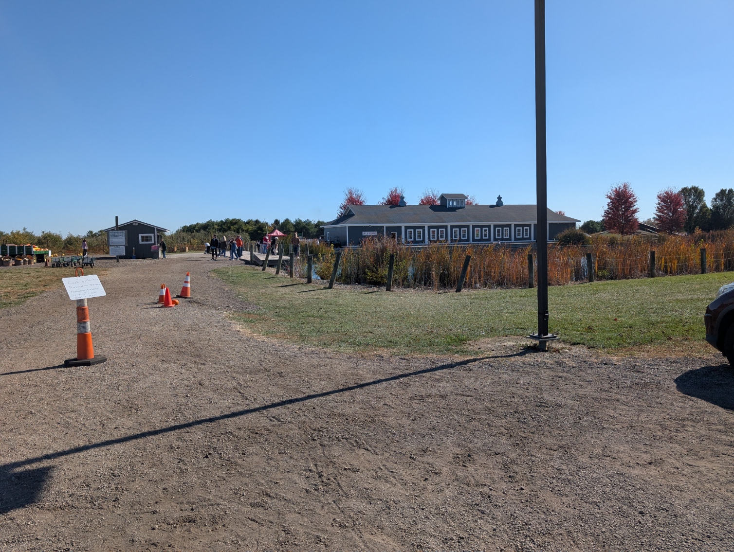
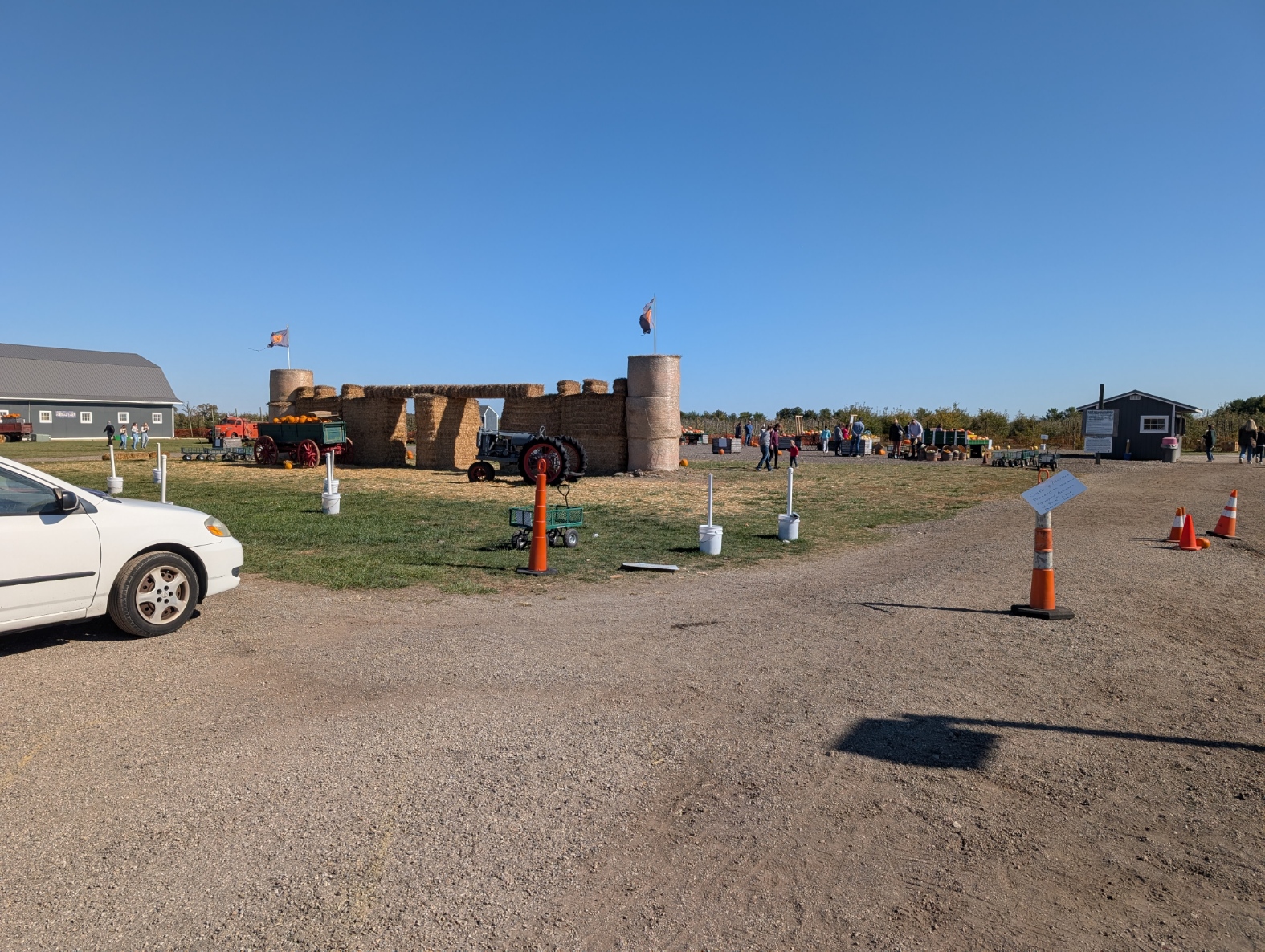
Pastime Park, The Barn on Chapel Road
Blue’s Creek Farm Market (Union County)
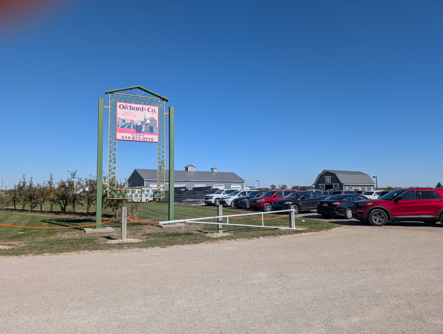
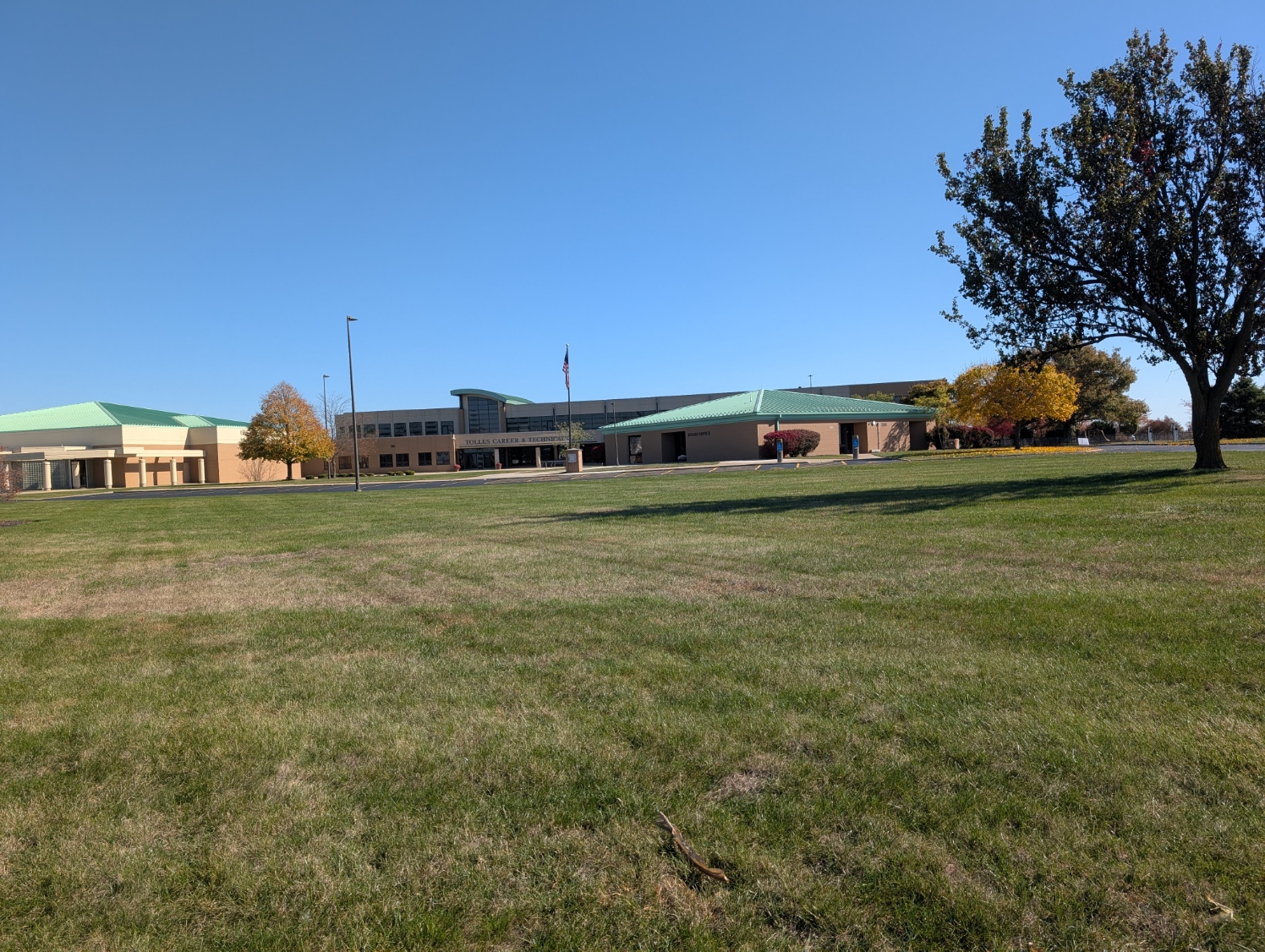
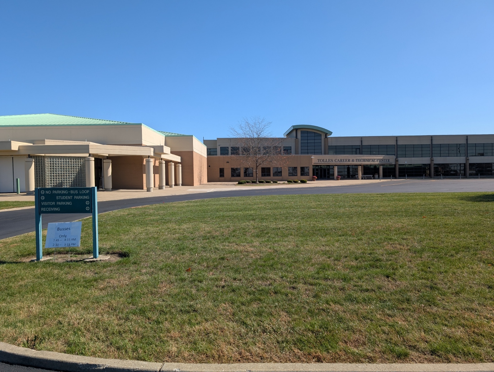
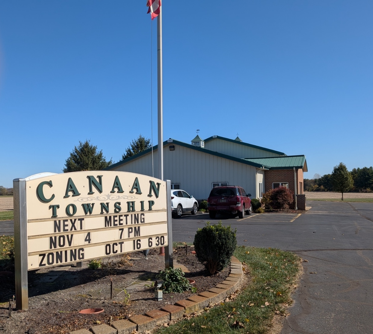
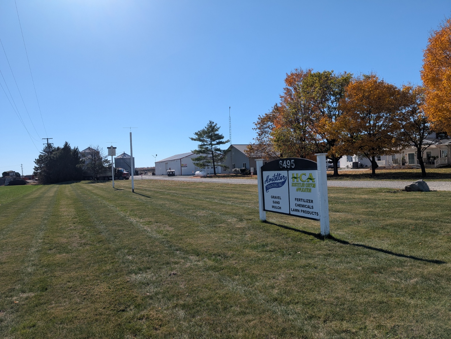
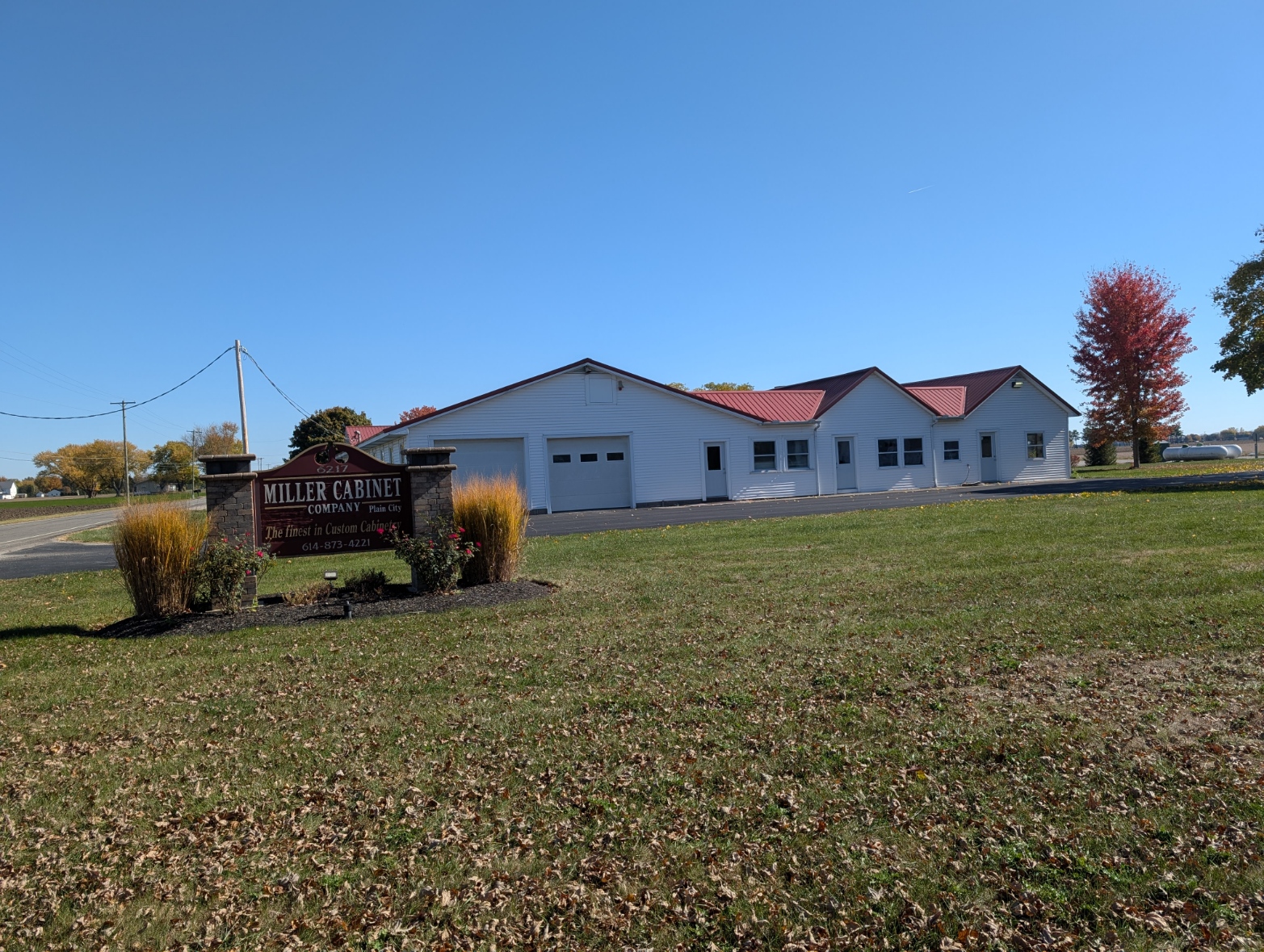
Ohio Premier Soccer Training Facility, Shekinah Christian School, Norm Troyer Builders, Miller Cabinet Company, Canaan Twp Trustees, Tolles, The Orchard and Company
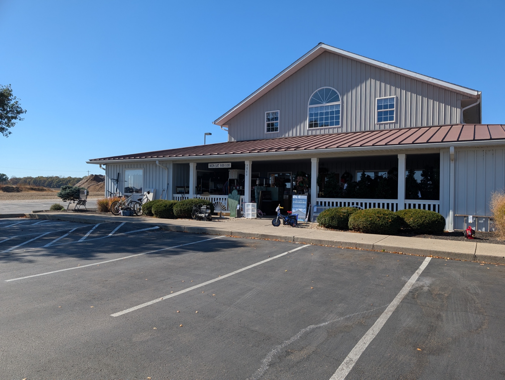
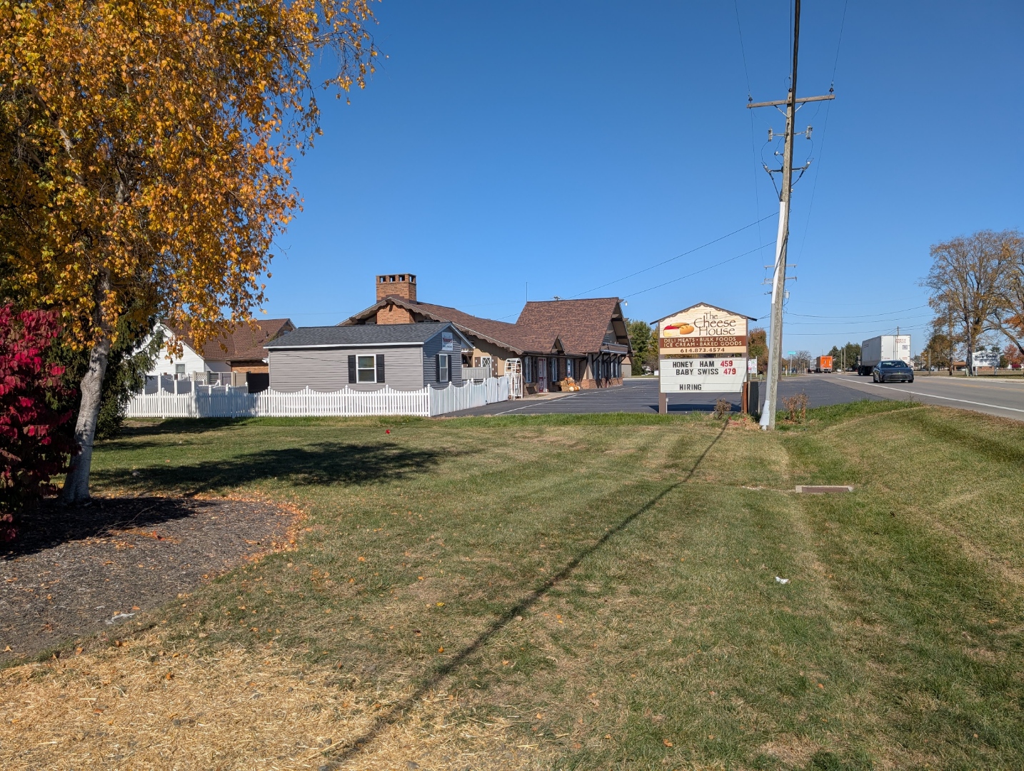
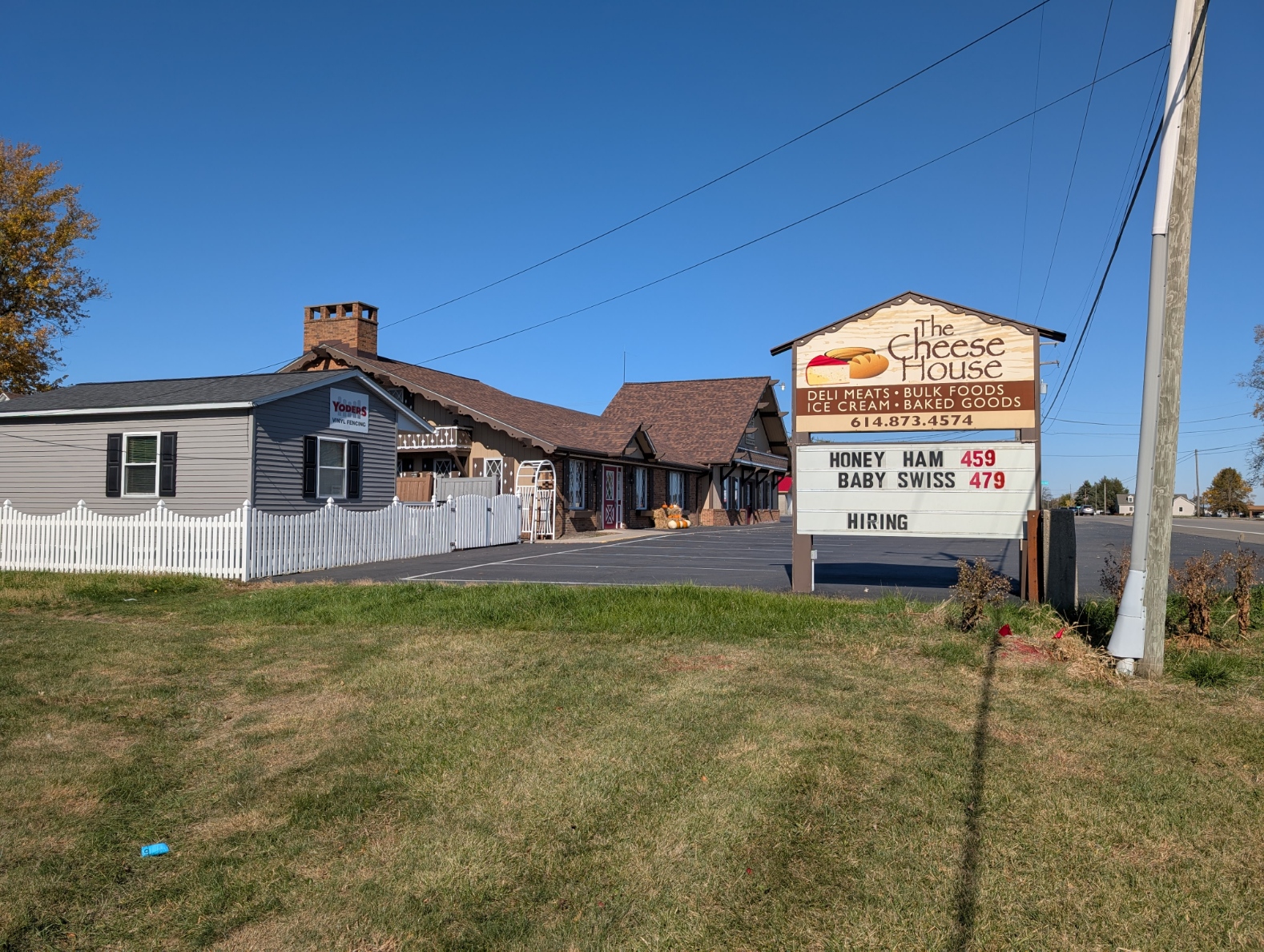
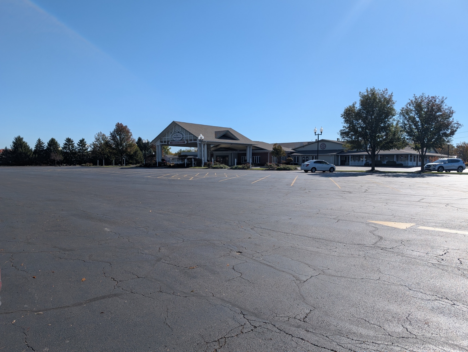
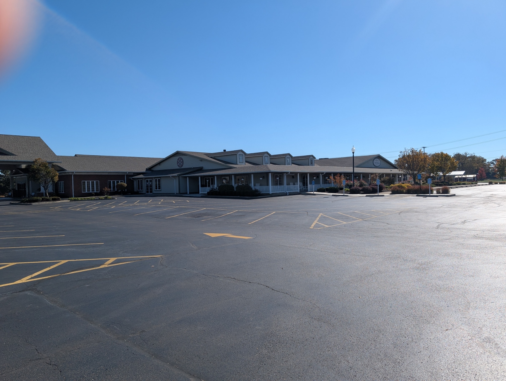
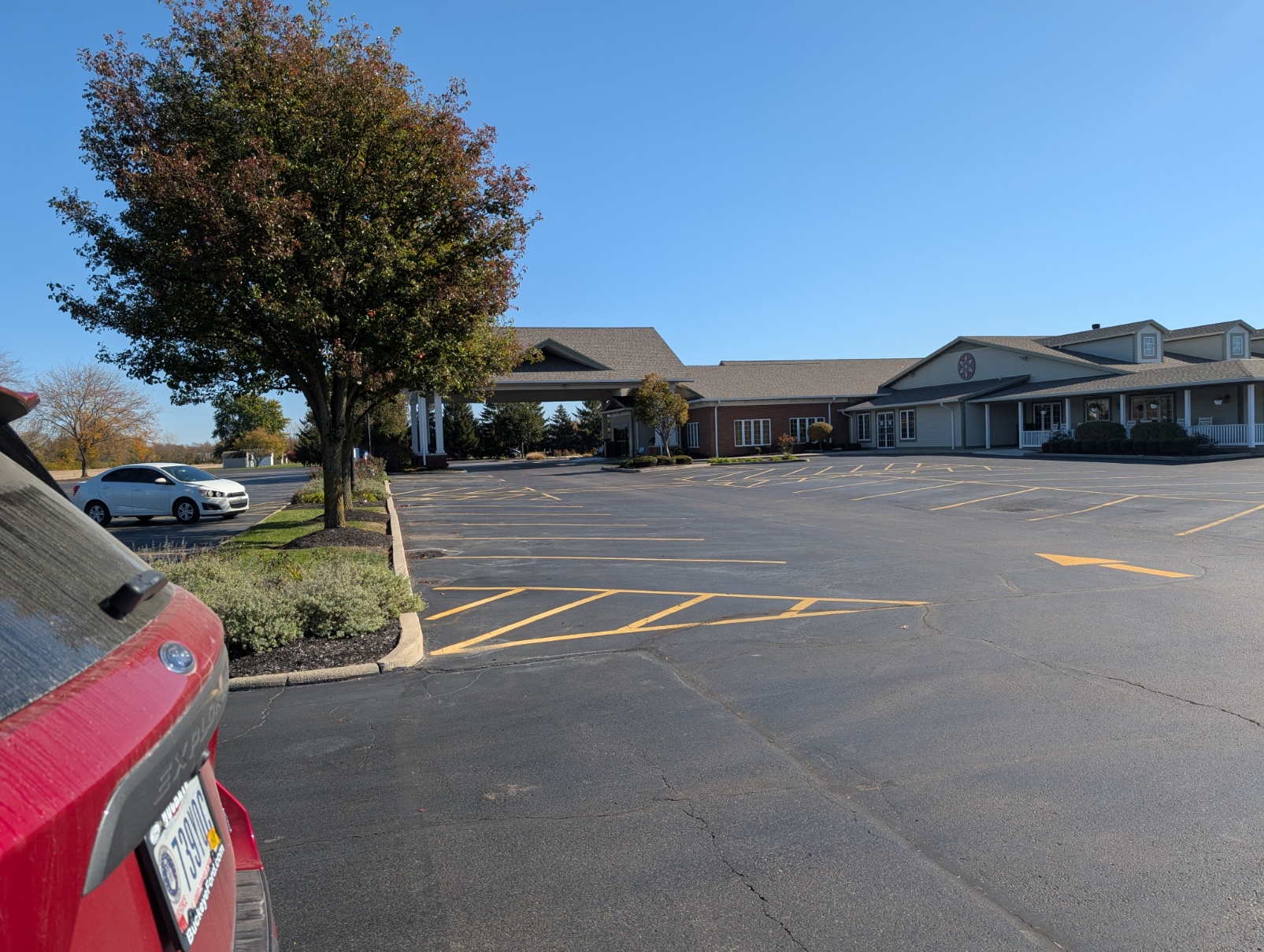
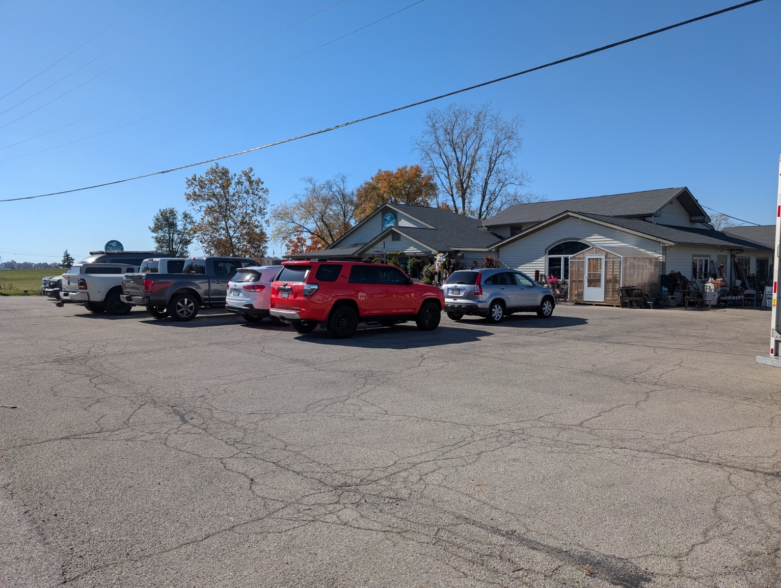
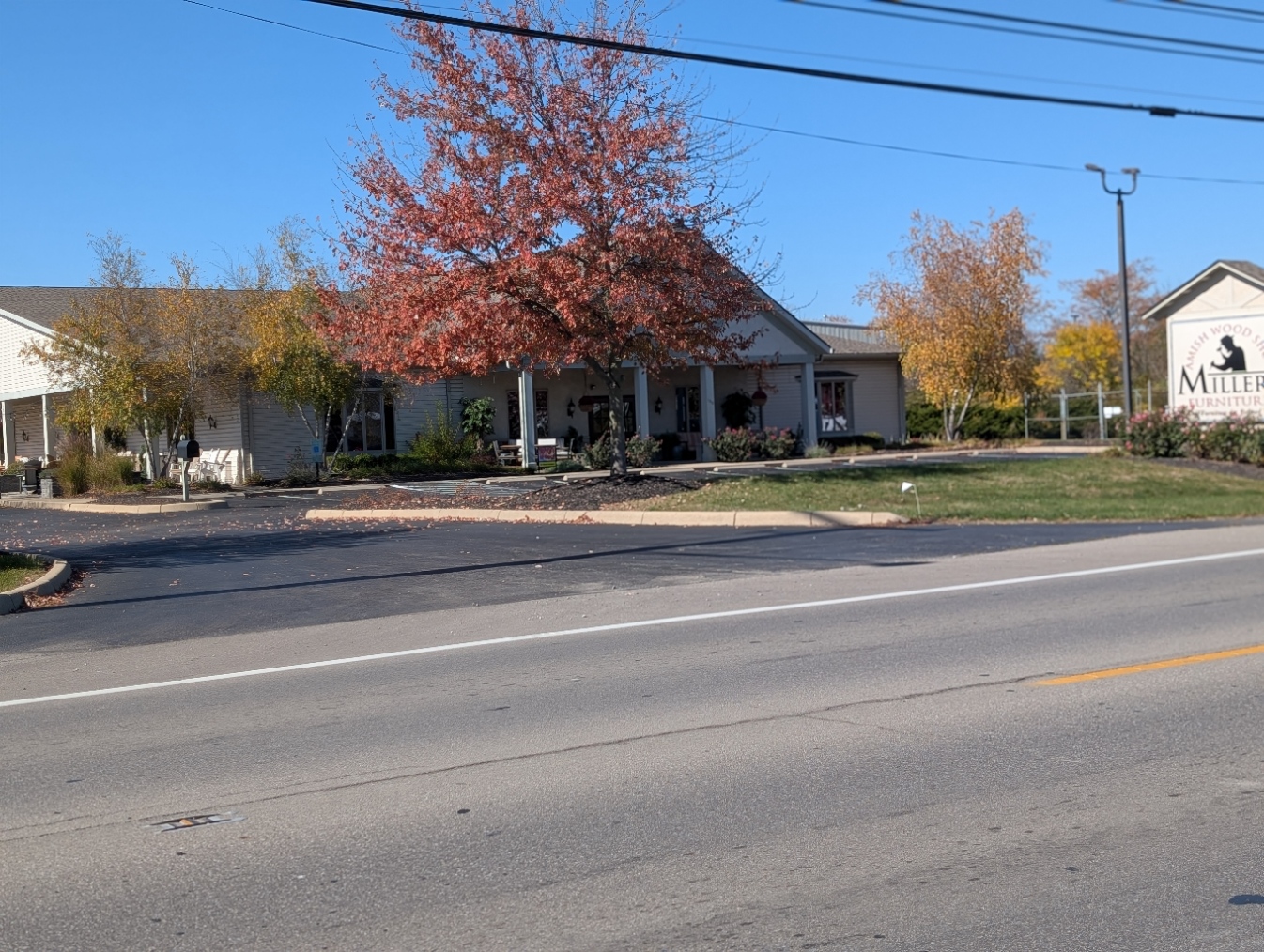
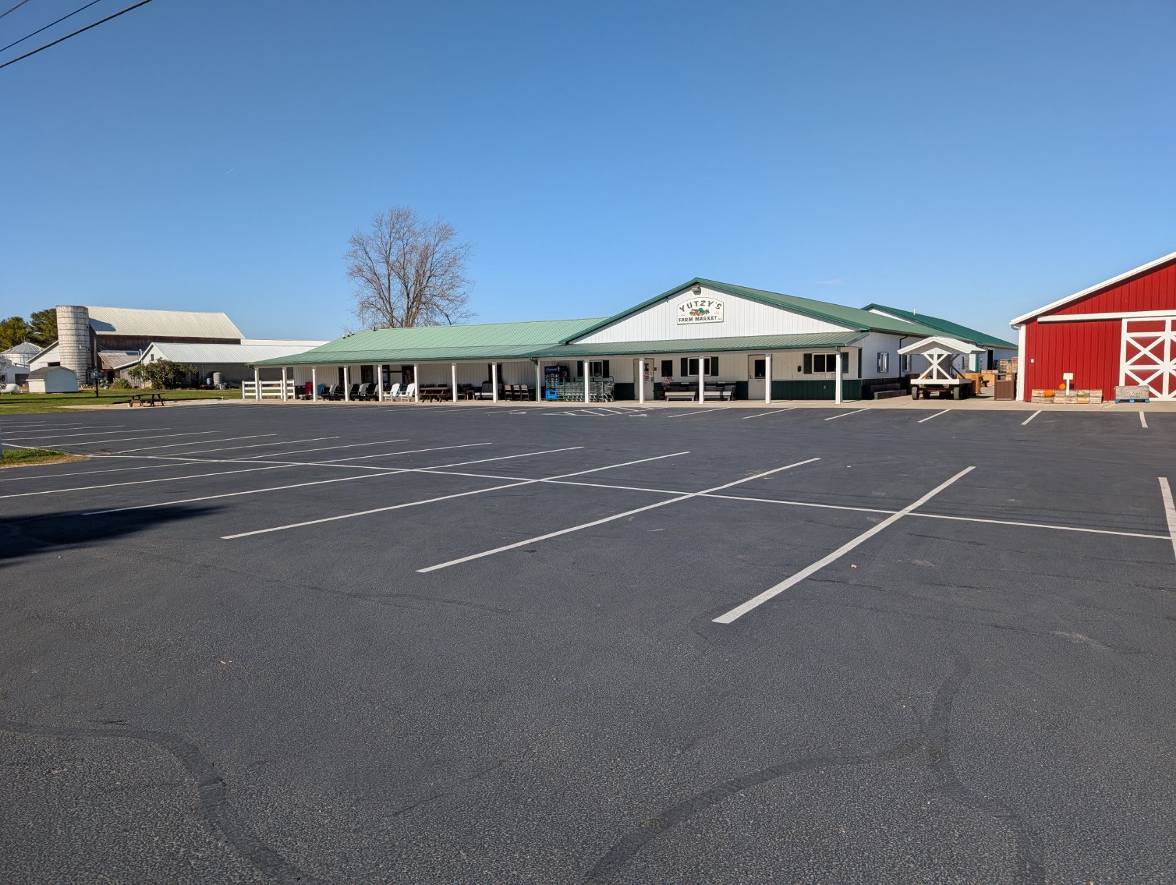
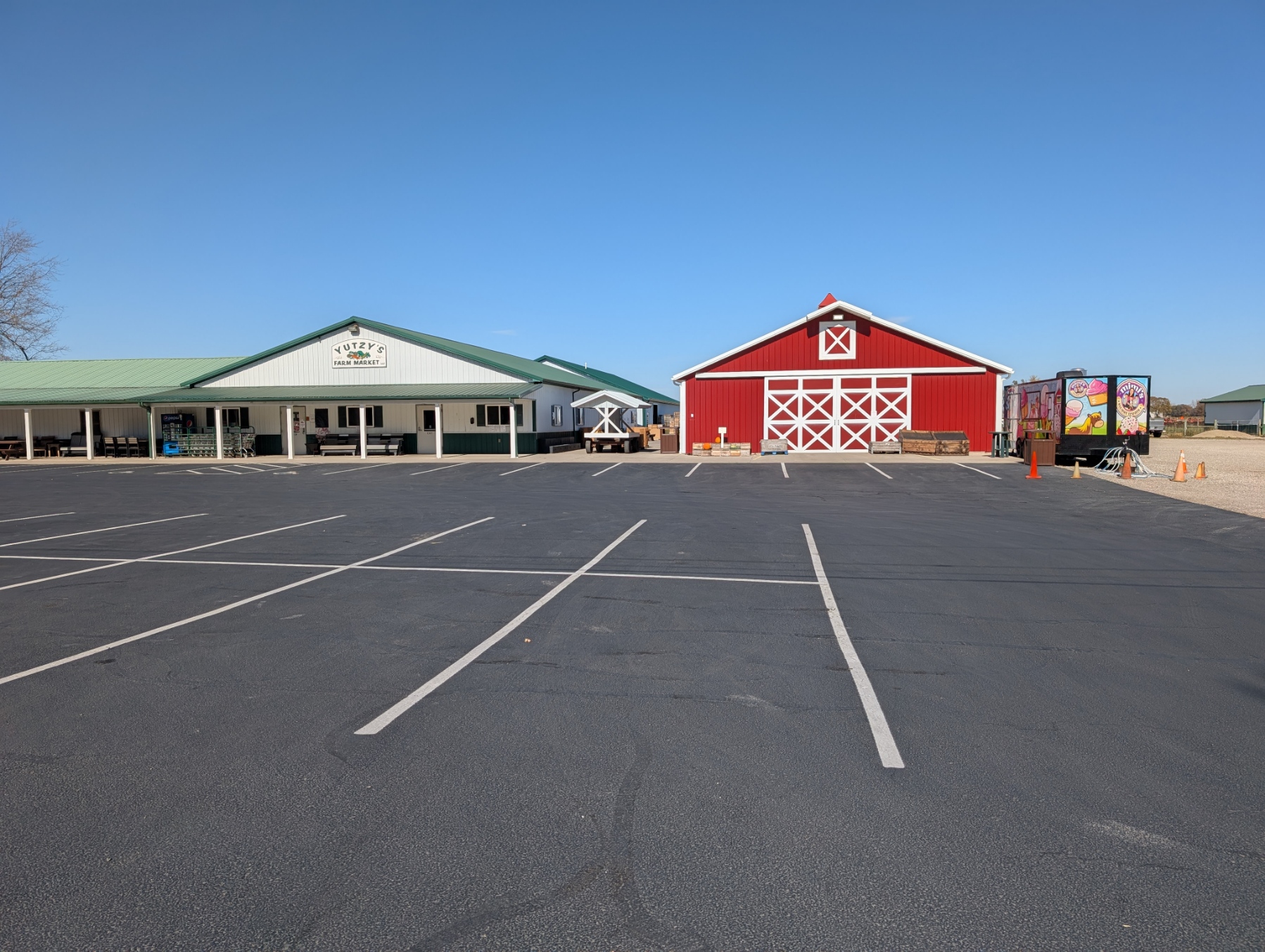
Amish Community – Der Dutchman, Yutzy’s Farm Market, Cheese House, Old 42 Antiques and Vintage Market Place,
West Jefferson
ZIP Code 43162 – Coordinates: 39°56′48″N 83°18′23″W
2024 population 4,599 2020 4,165 It is growing at 4.47% per year because of the building of many warehouses in the area, and also as Columbus grows, it may become a choice bedroom community.
Festivals, Ox Roast, Parade, Christmas in the Park.
American Legion, VFW.
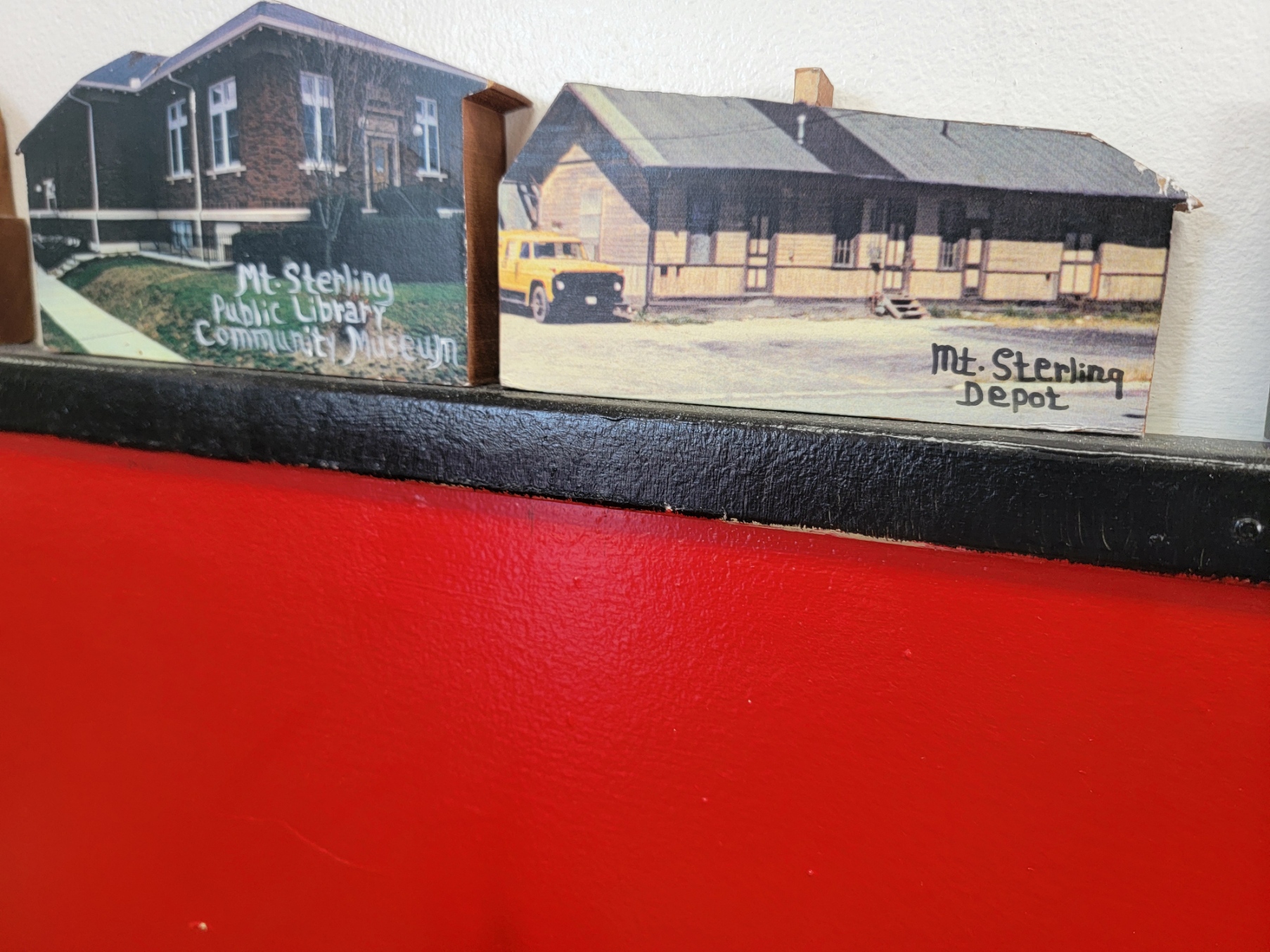
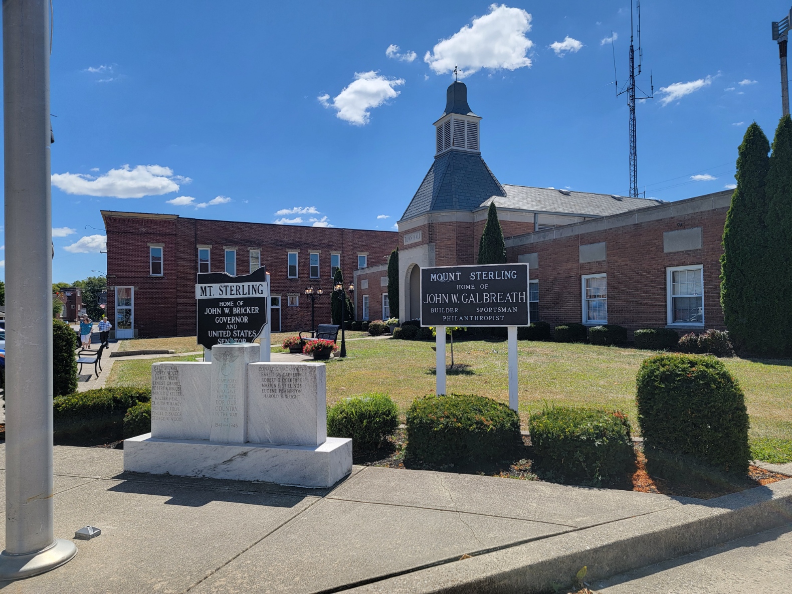
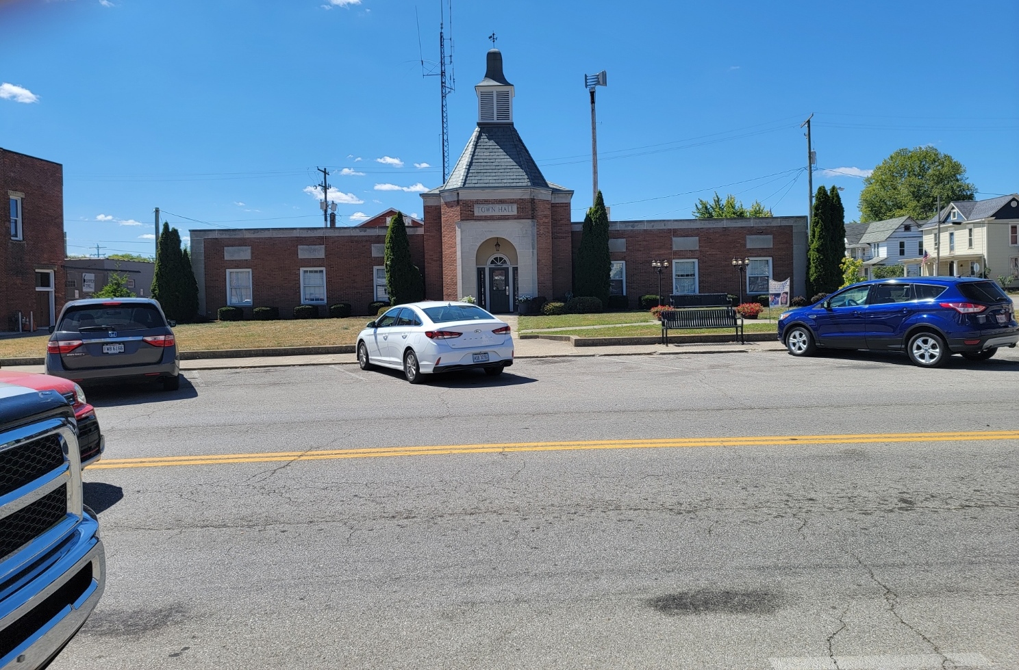
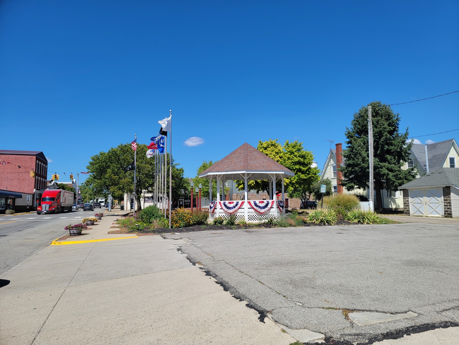
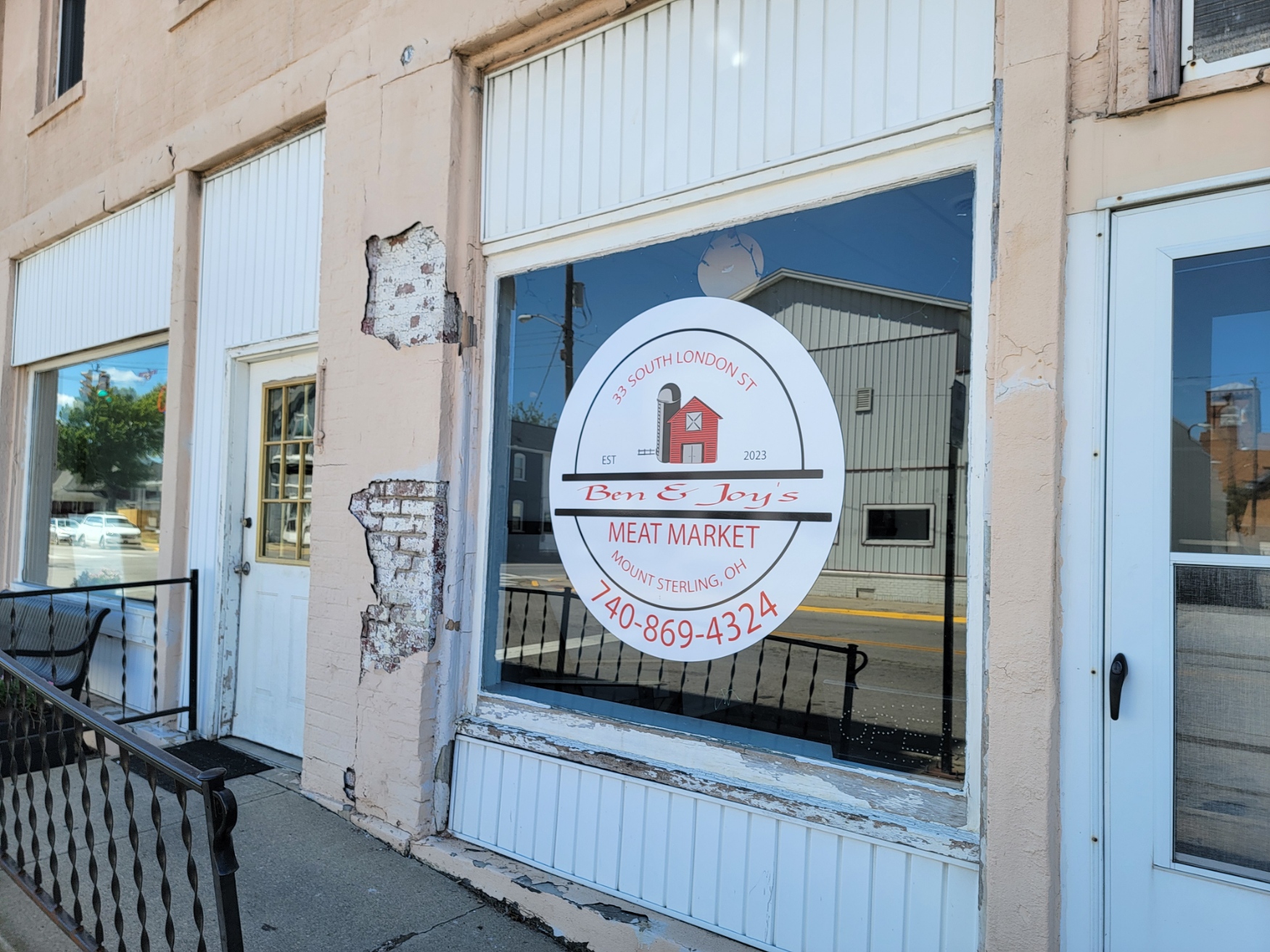
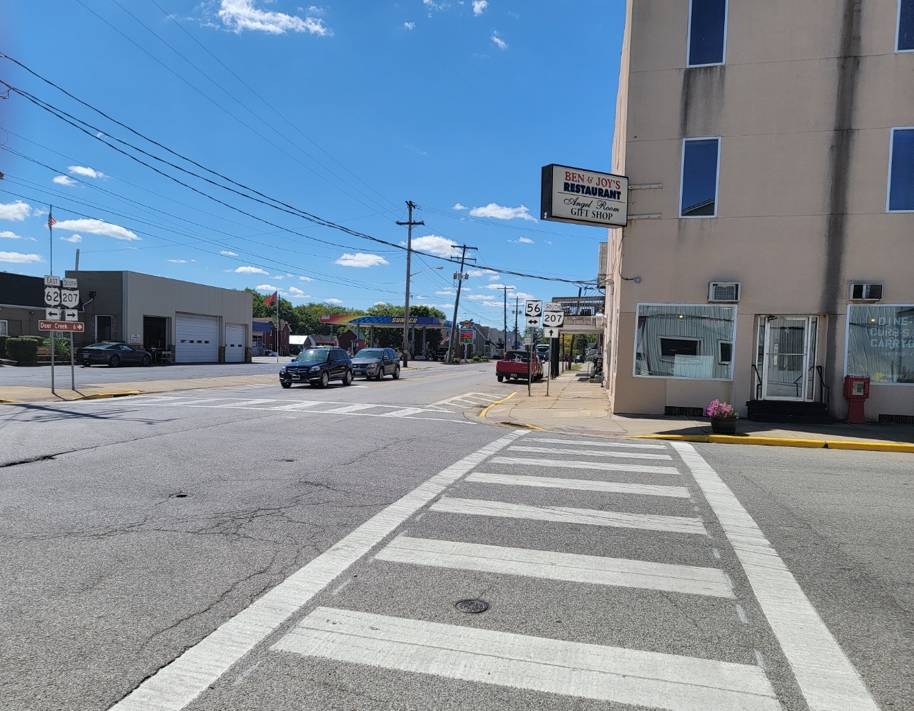
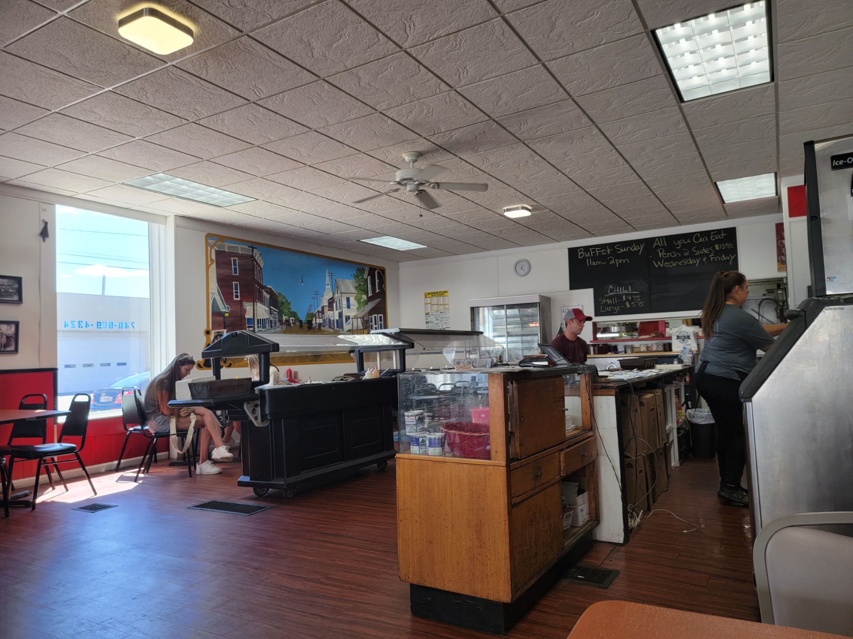
Mt Sterling
ZIP Code 43143 – Coordinates: 39°42′48″N 83°16′25″W
2024 Population 2,059 2020 1.941. It is grown at 1.43% per year
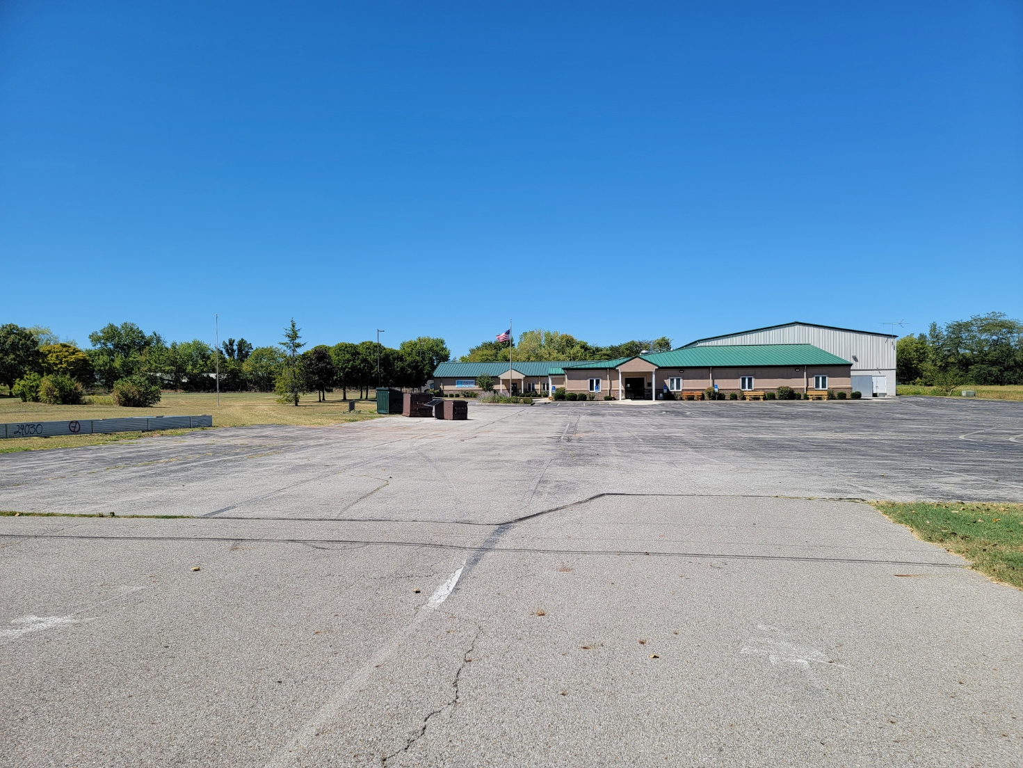
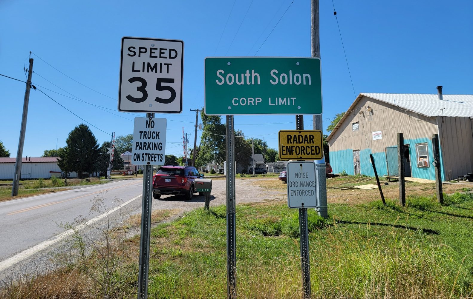
South Solon
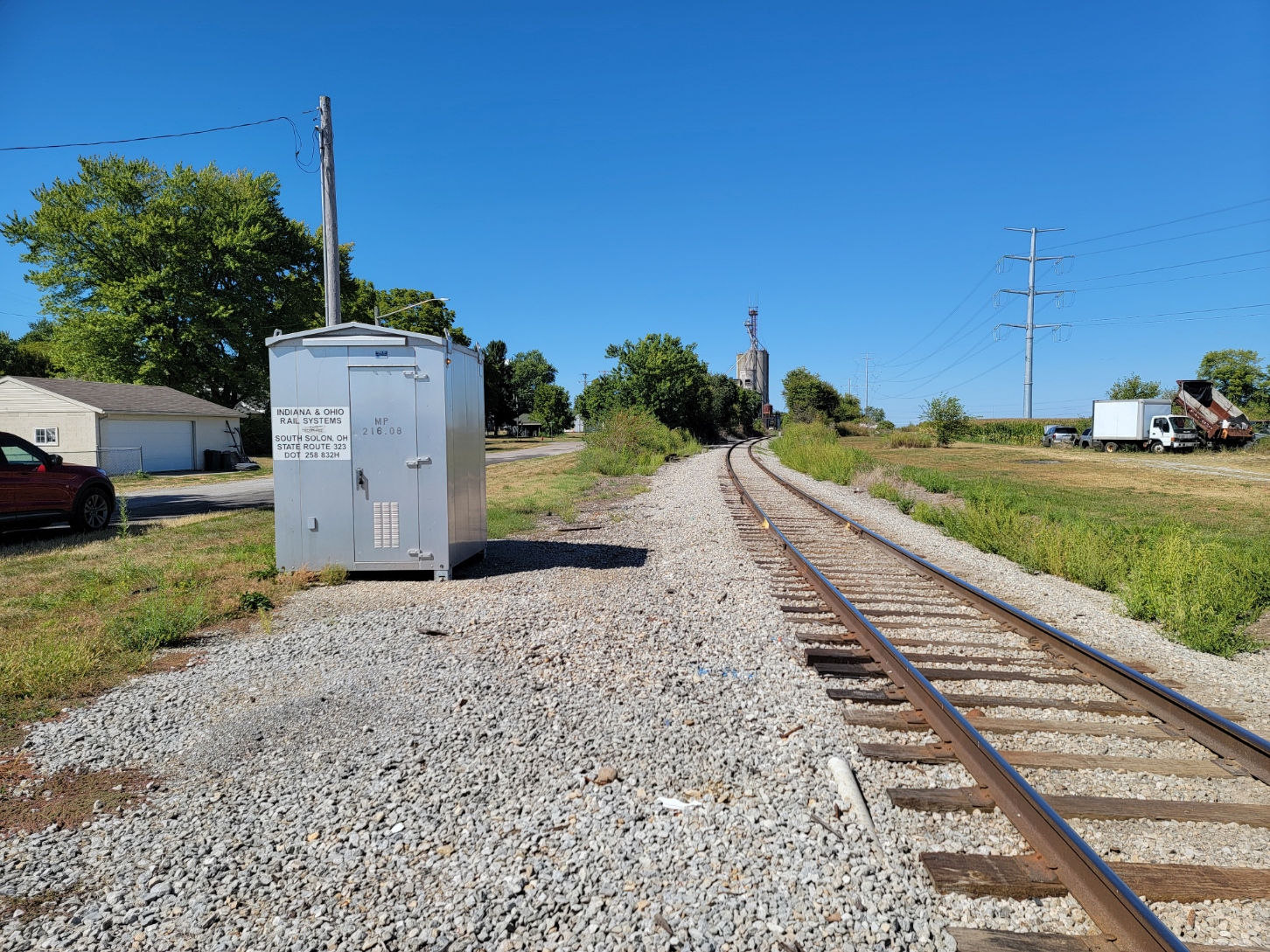
ZIP Code 43153 – Coordinates: 39°44′14″N 83°36′45″W
2024 Population 326, 2020 325, It is not growing.
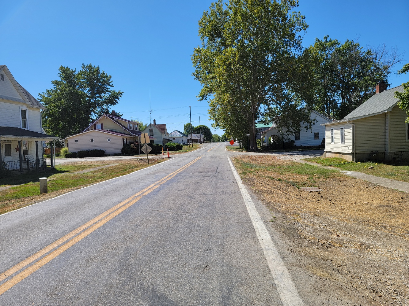
South Solon is a village in Madison County, Ohio, United States. The population was 329 at the 2020 census. Despite their similar names, South Solon is not associated with the city of Solon, Ohio, a suburb of Cleveland in Cuyahoga County. The two towns are approximately 170 miles (270 km) apart.
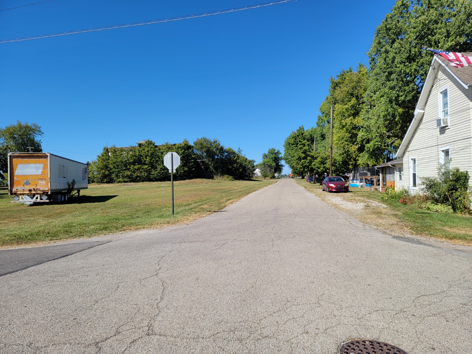
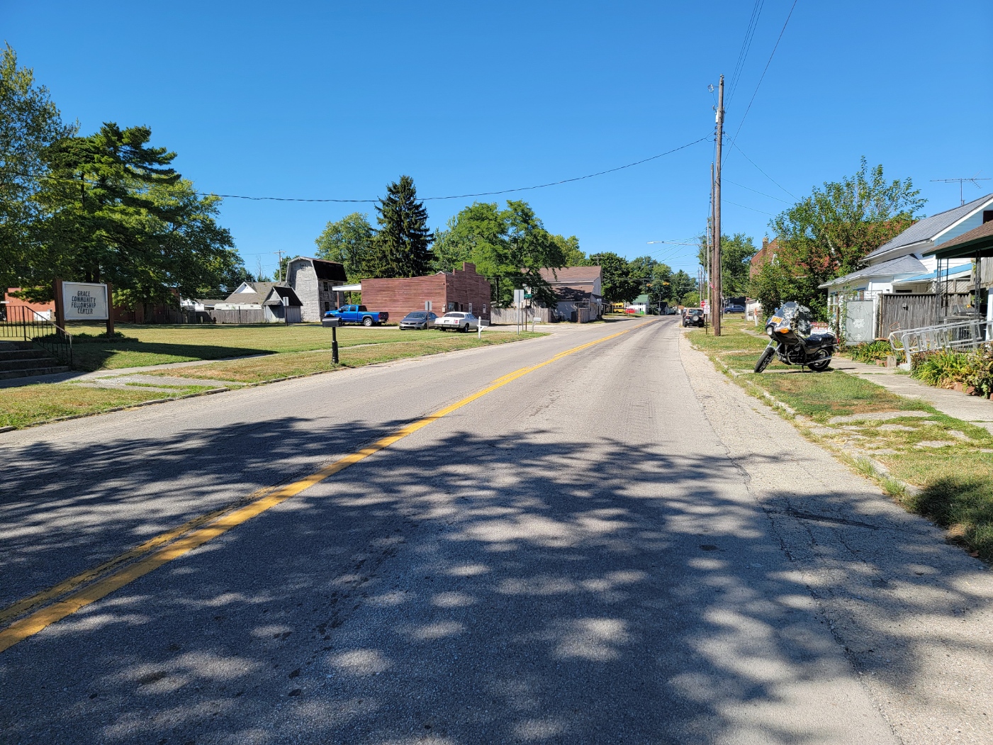
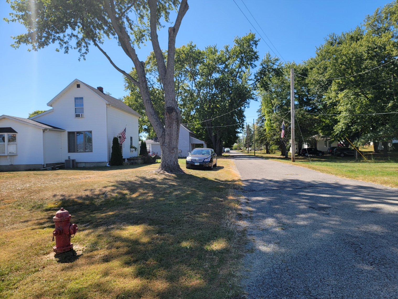
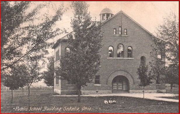
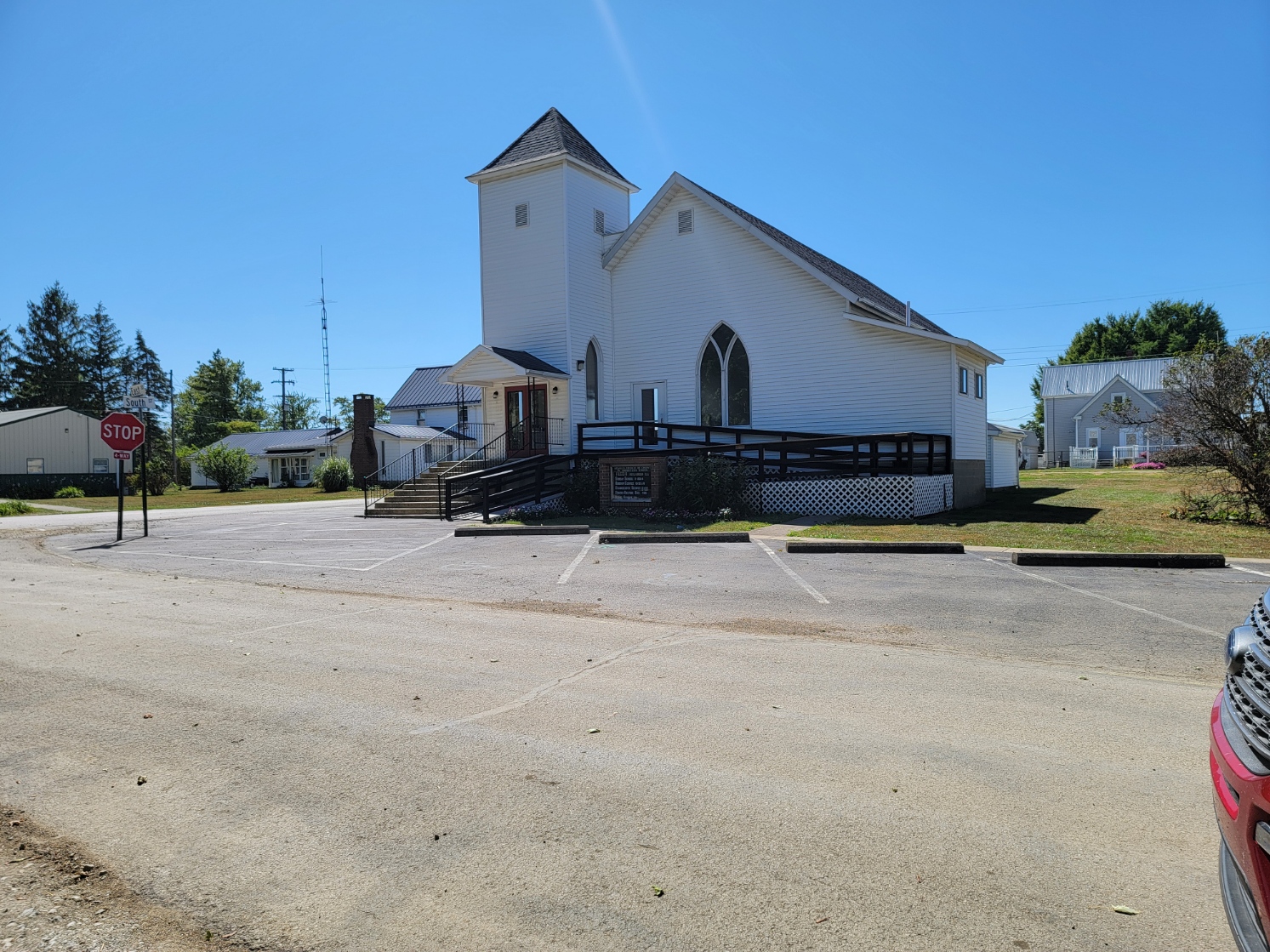
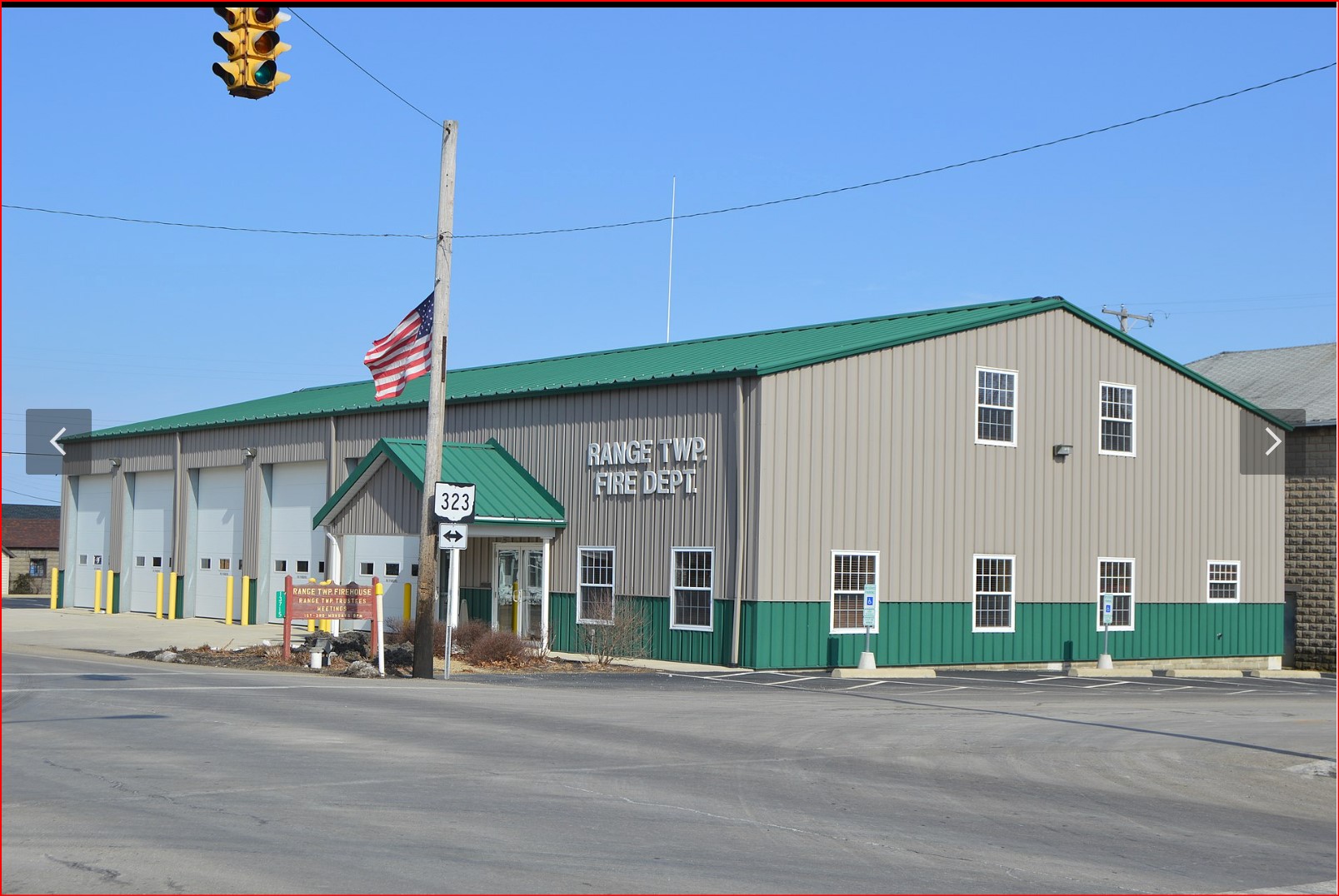
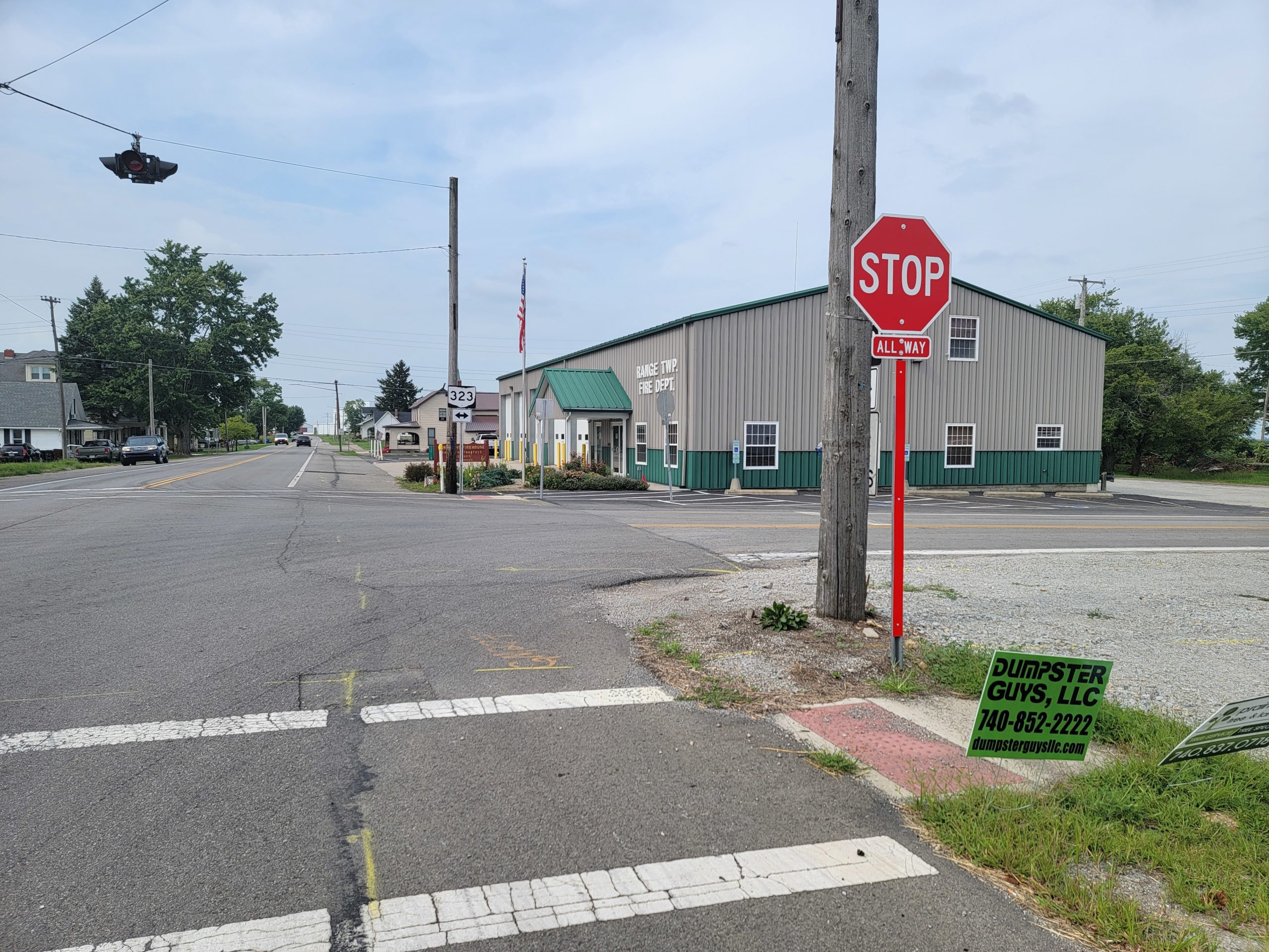
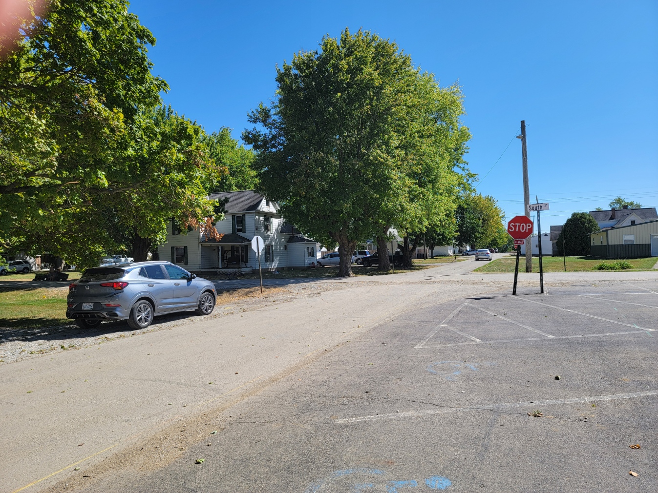
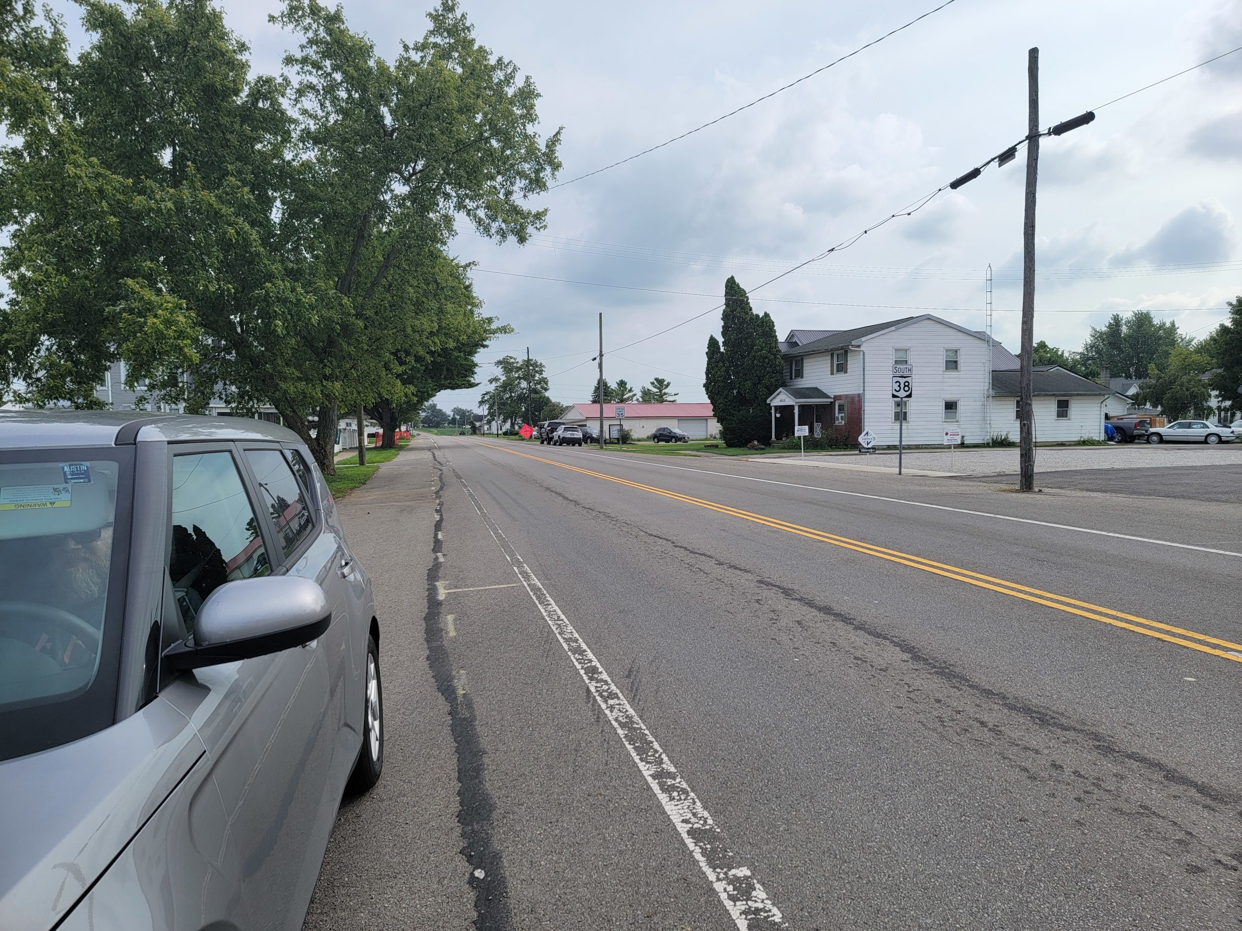
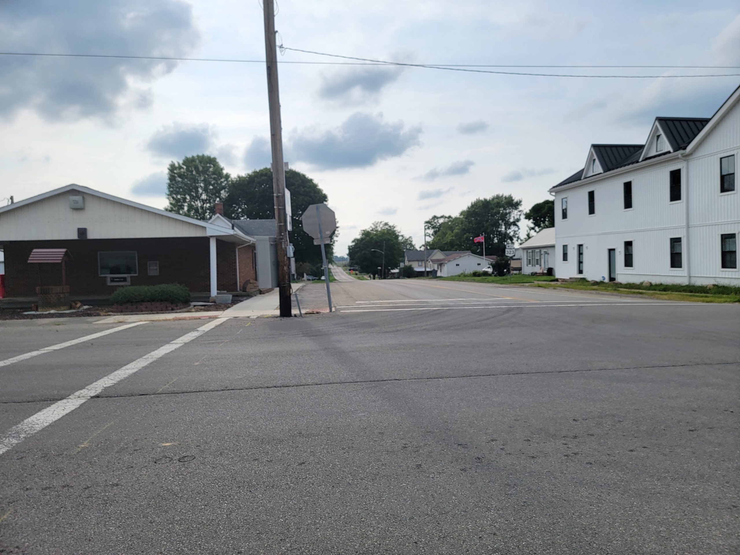
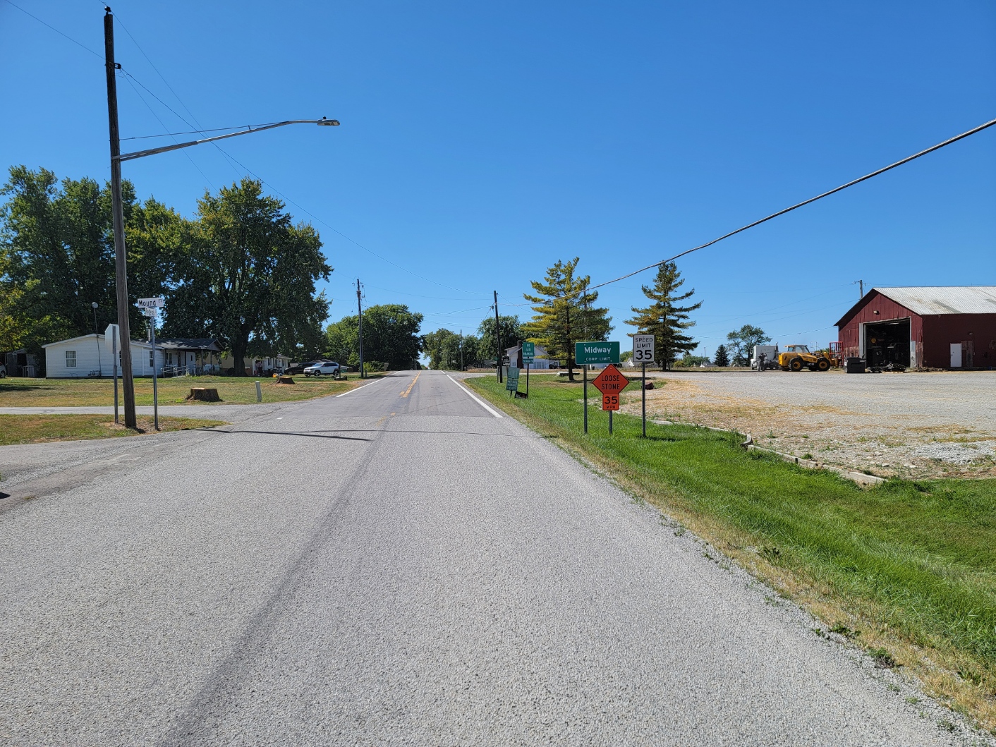
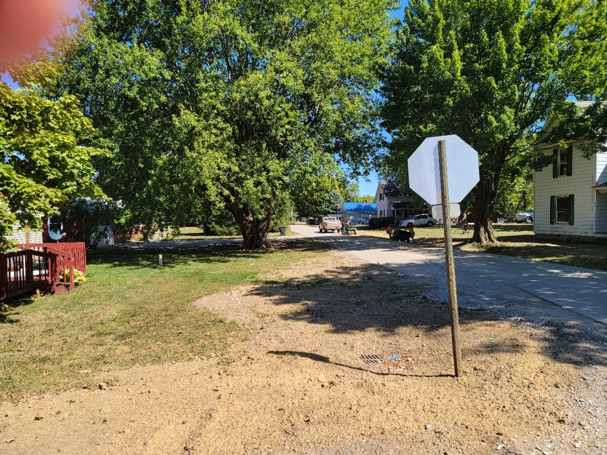
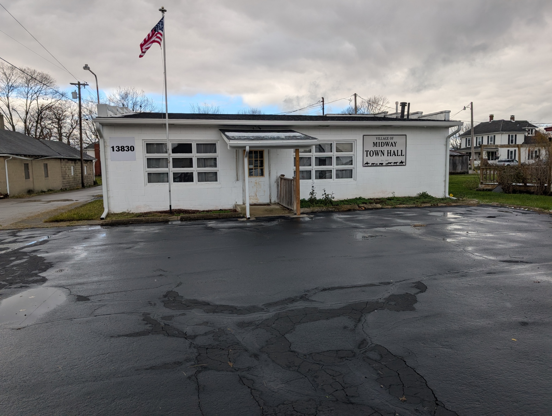
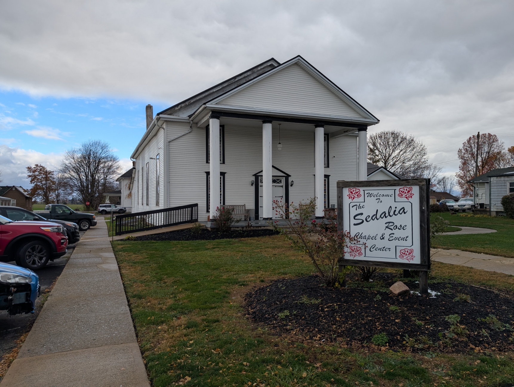
Midway (also called Sedalia) is a village in Range Township, Madison County, Ohio. The population was 269 at the 2020 census. The post office is Sedalia – ZIP code 43141.
Midway was laid out by F. Thompson and William Morris and recorded 13 June 1830. It was named Midway since it sits at the halfway point on a cattle route between Chicago and Philadelphia. In 1875, there were two churches, three dry goods stores, one hotel, one blacksmith, one wagon shop, one shoe shop, and one physician with a population of 250.
The land area is 0.29 square miles and is located at the intersection of Ohio State Routes 38 and 323.
The population in the 2010 census was 322 people, 116 households, with 89 families living in the village.
Coordinates: 39°43′59″N 83°28′36″W